Information
Landmark: Parque TantaucoCity: Chiloe
Country: Chile
Continent: South America
Parque Tantauco, Chiloe, Chile, South America
Parque Tantauco is a protected natural area located on the western side of Chiloé Island, Chile.
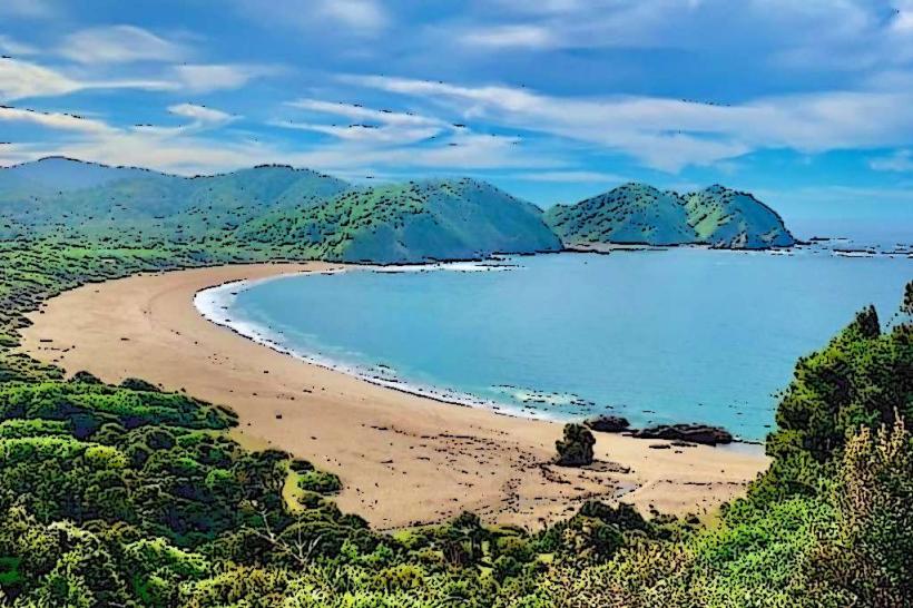
This park encompasses a significant portion of the island's temperate rainforest and coastline.
Visual Characteristics
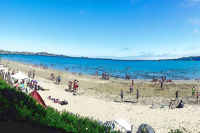
The park features dense evergreen temperate rainforest dominated by trees such as the Tepú (Tepu spp.), Copaihue (Nothofagus spp.), and Canelo (Drimys winteri). The understory is thick with ferns and mosses. Coastline sections consist of rocky shores and sandy beaches, with the Pacific Ocean exhibiting a grey-blue hue. Several freshwater lakes and rivers are present, with water clarity varying based on sediment load.
Location & Access Logistics
Parque Tantauco is situated approximately 70 kilometers southwest of Castro, the capital of Chiloé Province. Access is via the Ruta W-85, a paved road that transitions to gravel for the final 15 kilometers leading to the park entrance. The journey from Castro takes approximately 1.5 to 2 hours. Parking is available at the main visitor center and designated trailheads. Public transport to the park is limited; the nearest bus service stops in the town of Queilén, requiring a further taxi or private transfer.
Historical & Ecological Origin
The park was established through the acquisition of private landholdings, with significant portions donated by the Luksic family starting in 2005. Its ecological origin is rooted in the geological history of Chiloé Island, characterized by glacial activity and subsequent temperate rainforest colonization. It represents a critical habitat for endemic species of the Valdivian temperate rainforest ecoregion.
Key Highlights & Activities
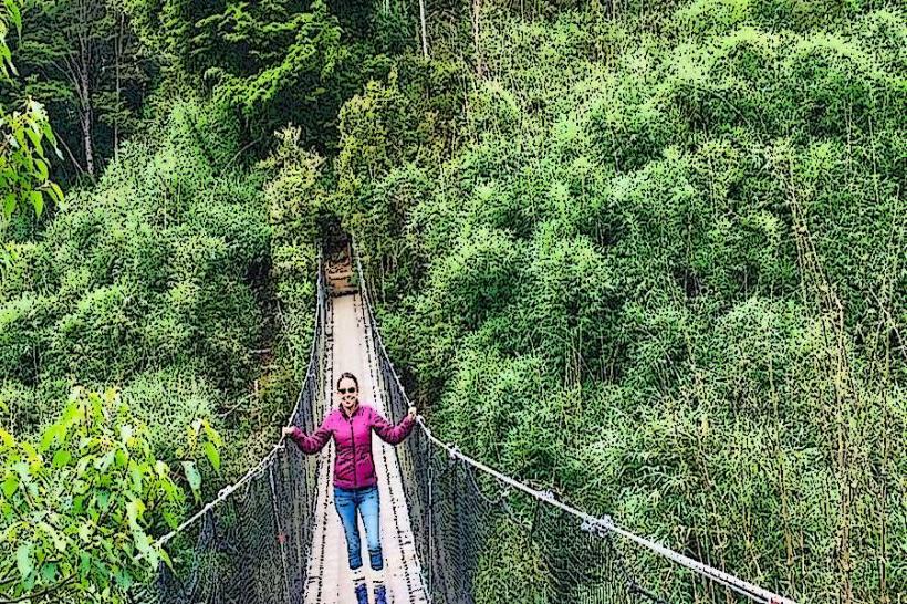
Activities include hiking on marked trails such as the Sendero de los Alerces (3.5 km round trip) and the Sendero a la Cascada de Chaiguata (4.2 km round trip). Birdwatching is a primary activity, with opportunities to observe species like the Chucao Tapaculo (Scelorchilus rubecola) and the Chilean Flicker (Colaptes pitius). Kayaking is permitted on Lake Chaiguata. Camping is available at designated sites within the park.
Infrastructure & Amenities
The park features a main visitor center with information services and basic facilities. Restrooms are available at the visitor center and at key points along longer trails. Shade is abundant within the forest areas. Cell phone signal is intermittent and generally unavailable in most interior sections of the park. Food vendors are not present within the park; visitors must bring their own supplies.
Best Time to Visit
The best months for visiting are from December to March, during the Southern Hemisphere's summer, offering the most stable weather. Mornings between 7:00 AM and 9:00 AM provide optimal lighting for photography due to softer sunlight filtering through the canopy. High tide is not a significant factor for most park activities, but can affect access to certain coastal sections.
Facts & Legends
A notable historical oddity is the presence of ancient Canelo trees, some estimated to be over 500 years old, which hold cultural significance for the indigenous Huilliche people. A local legend speaks of the Trauco, a small, mischievous forest spirit said to inhabit the dense woods, influencing the behavior of animals and travelers.
Nearby Landmarks
- Parque Nacional Chiloé: 15km Northwest
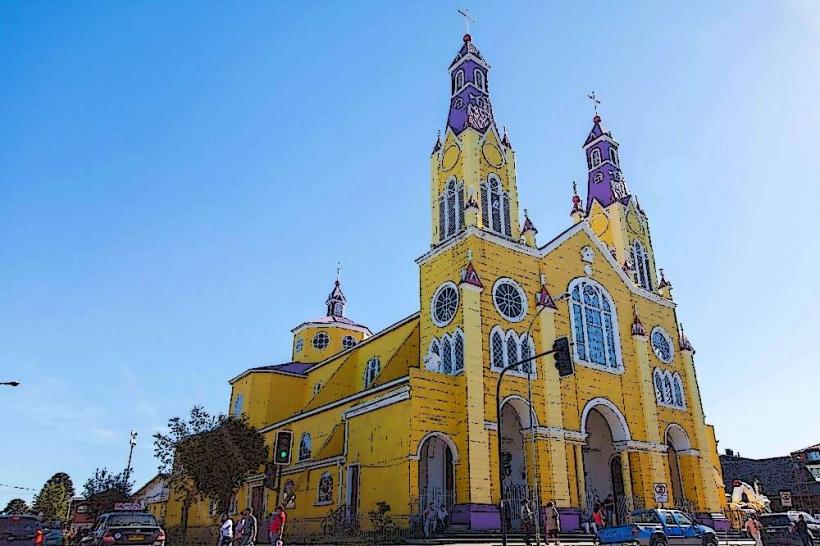
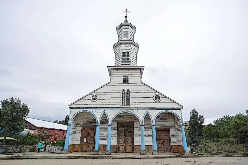
- Dalcahue Church: 65km Northeast
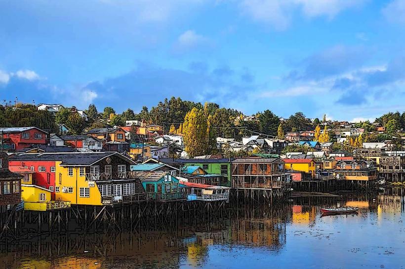
- Castro City Center: 70km Northeast
- Chiloé National Park (Ancud Sector): 80km Northeast