Landmark: Playa Bonita
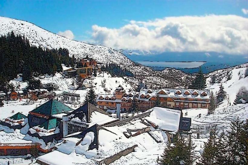
City: Bariloche
Country: Argentina
Continent: South America
Playa Bonita, Bariloche, Argentina, South America
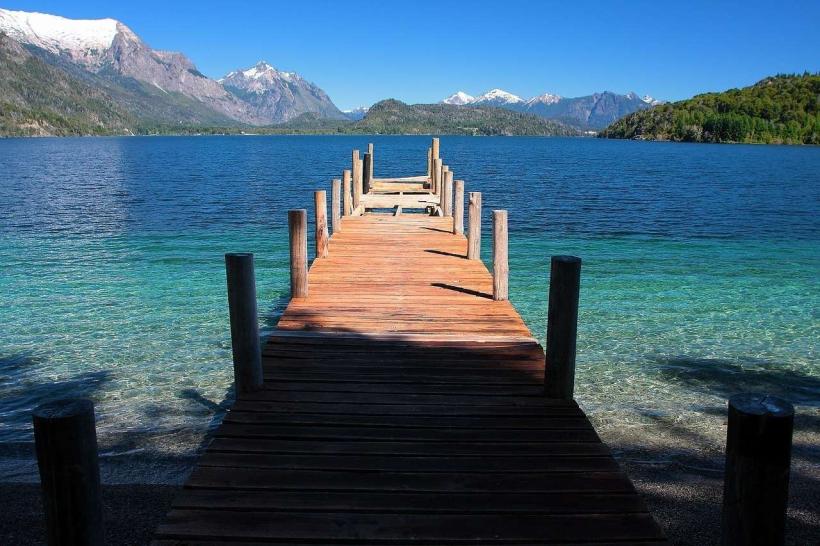
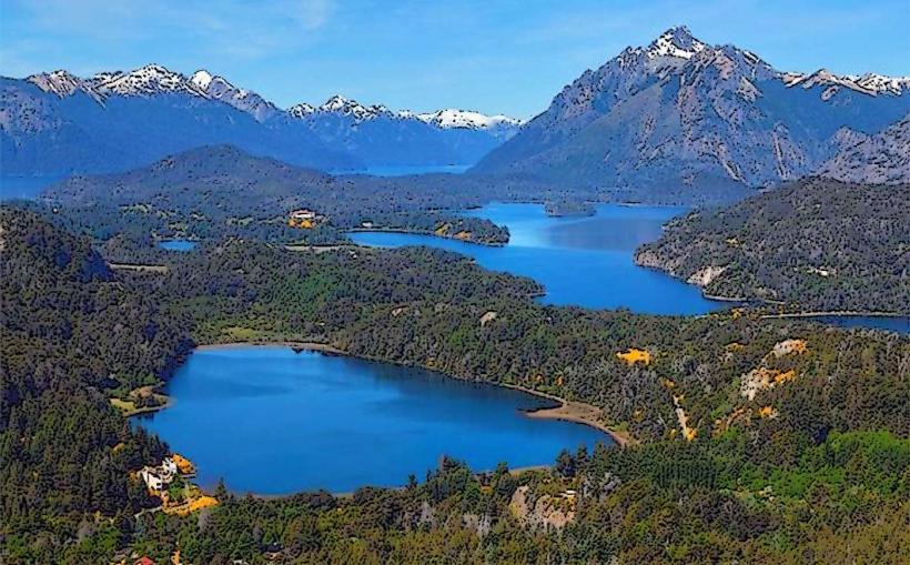
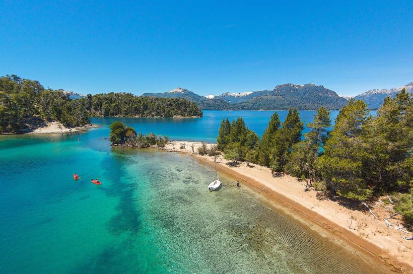
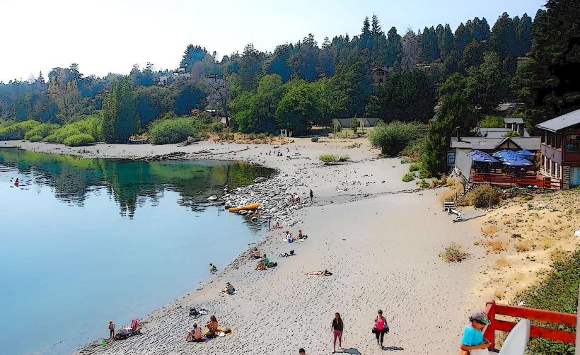
Playa Bonita is a public beach situated on the shores of Nahuel Huapi Lake in Bariloche, Argentina.
It serves as a popular recreational area for both residents and tourists.
Visual Characteristics
The beach consists of fine, dark grey sand. The water of Nahuel Huapi Lake is typically clear and exhibits shades of deep blue to turquoise depending on light conditions. The shoreline is bordered by a moderate density of native Patagonian vegetation, including coihue and ñire trees.
Location & Access Logistics
Playa Bonita is located approximately 8 kilometers west of Bariloche's city center along Avenida Bustillo. Access is directly from Avenida Bustillo, a paved road. Parking is available in a designated lot adjacent to the beach, which can become full during peak season. Public transport is accessible via the local bus line 20, which stops directly at the beach entrance.
Historical & Ecological Origin
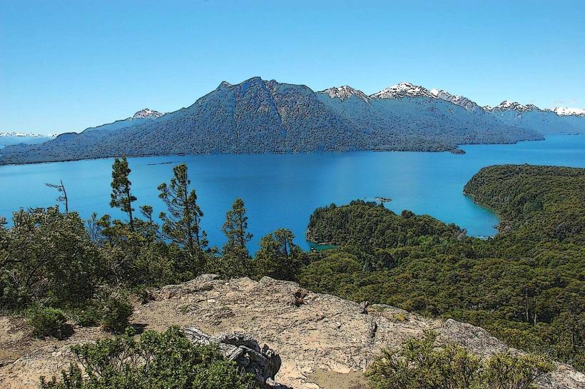
Playa Bonita is a natural formation along the southern shore of Nahuel Huapi Lake, a large glacial lake. The lake itself was formed by glacial erosion during the last ice age. The beach is part of the Patagonian steppe ecosystem.
Key Highlights & Activities
Swimming is permitted in designated areas. Kayak and paddleboard rentals are available seasonally. Picnicking is a common activity. The adjacent area offers short walking paths through the local flora.
Infrastructure & Amenities
Restrooms are available on-site. Limited natural shade is provided by surrounding trees. Cell phone signal (4G) is generally reliable. Seasonal food vendors operate near the parking area during summer months.
Best Time to Visit
The best time for swimming and water activities is during the summer months (December to February). Mid-morning offers good lighting for photography. Water temperatures are most suitable for swimming between January and February.
Facts & Legends
A local legend suggests that the dark color of the sand is due to volcanic ash from ancient eruptions, though geological surveys indicate it is primarily composed of eroded basaltic rock from the surrounding Andes.
Nearby Landmarks
- Cerro Campanario (1.5km West)
- Llao Llao Hotel & Llao Llao Municipal Park (4km West)
- Punto Panorámico (2km East)
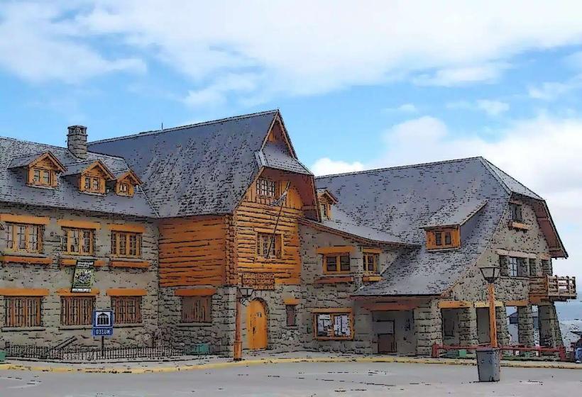
- Museo de Trajes Regionales (3km East)