Landmark: Stone Arch Bridge
City: Minneapolis
Country: USA Minnesota
Continent: North America
Stone Arch Bridge, Minneapolis, USA Minnesota, North America
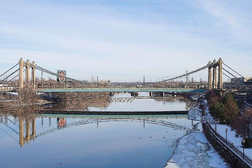
The Stone Arch Bridge is a historic railroad bridge spanning the Mississippi River in Minneapolis, Minnesota. It is located in the St. Anthony Falls area.
Visual Characteristics
The bridge is constructed from 21 arches of local grey limestone and red sandstone. It measures 2,100 feet (640 meters) in length and stands approximately 30 feet (9.1 meters) above the river's surface. The architectural style is Romanesque Revival.
Location & Access Logistics
The Stone Arch Bridge is situated approximately 1 mile (1.6 km) east of downtown Minneapolis. Access is available from the West River Parkway on the west bank and the East River Road on the east bank. Parking is available in several paid lots near the Mill City Museum and along West River Parkway. Public transport options include Metro Transit bus routes 7, 17, and 60, which stop within a 0.5 km radius of the bridge's access points.
Historical & Ecological Origin
Construction of the Stone Arch Bridge began in 1881 and was completed in 1883. It was designed by architect Jonathan H. Parsons and built by the Great Northern Railway Company. Its original purpose was to facilitate rail traffic across the Mississippi River, connecting the eastern and western portions of the United States for freight and passenger transport.
Key Highlights & Activities
Walking or cycling across the bridge offers views of St. Anthony Falls and the Minneapolis skyline. Photography is a common activity, particularly during sunrise and sunset. The bridge is accessible year-round.
Infrastructure & Amenities
The bridge is a pedestrian and bicycle pathway. There are no restrooms or food vendors directly on the bridge. Cell phone signal (4G/5G) is generally available. Shade is limited on the bridge itself, but available in adjacent park areas.
Best Time to Visit
For photography, the hours around sunrise and sunset provide optimal lighting conditions. The months of May through October offer the most pleasant weather for walking and cycling.
Facts & Legends
The bridge was originally named the Minneapolis Union Railway Bridge. It was the only railroad bridge of its size to cross the Mississippi River within the city limits of Minneapolis until the construction of the Northern Pacific Bridge in 1927.
Nearby Landmarks
- Mill City Museum (0.2km West)
- St. Anthony Falls (0.3km North)
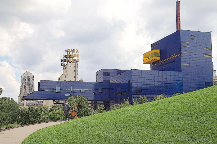
- Guthrie Theater (1.1km Southwest)
- Walker Art Center (2.5km West)
- Minnehaha Park (7.0km South)