Landmark: Chain of Lakes Park
City: Minneapolis
Country: USA Minnesota
Continent: North America
Chain of Lakes Park, Minneapolis, USA Minnesota, North America
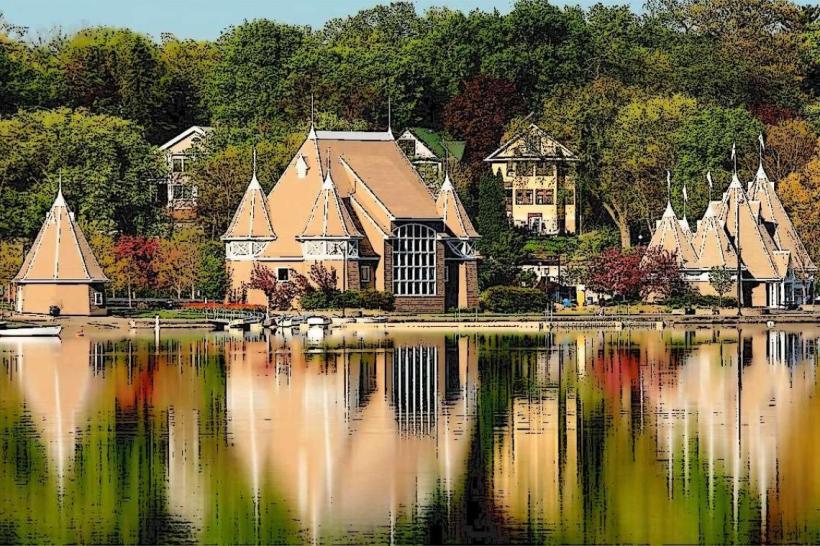
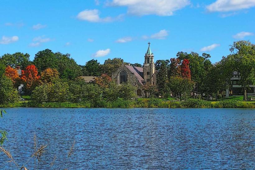
Chain of Lakes Park is a system of interconnected lakes located within the city limits of Minneapolis, Minnesota, USA.
It comprises five primary bodies of water: Bde Maka Ska, Harriet, Calhoun, Cedar, and Brownie Lake.
Visual Characteristics
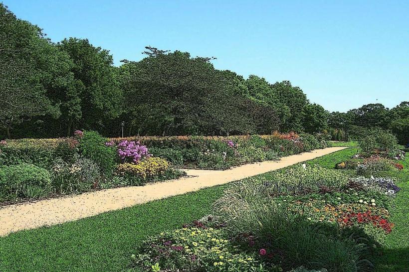
The lakes are characterized by their clear, blue-green water, with shorelines varying between sandy beaches and grassy banks. Surrounding vegetation includes mature deciduous trees, primarily oak and maple, providing significant shade. The parkland features paved multi-use trails that encircle each lake and connect them.
Location & Access Logistics
Chain of Lakes Park is situated west of downtown Minneapolis. Access is via numerous city streets, with major thoroughfares including Hennepin Avenue and Lake Street. Ample street parking is available around the perimeter of the lakes, though it can be limited during peak hours. Public transport options include Metro Transit bus routes 6, 12, 18, 46, and 51, which stop at various points along the park's edge.
Historical & Ecological Origin
The lakes are natural glacial formations, carved by the movement of ice sheets during the last Ice Age. The area was historically inhabited by the Dakota people. In the late 19th and early 20th centuries, the parkland was developed and integrated into Minneapolis's park system, with significant landscaping and trail construction.
Key Highlights & Activities
Activities include swimming at designated beaches (Bde Maka Ska, Harriet), kayaking, paddleboarding, and sailing. Angling is permitted. The paved trails are used for running, cycling, and rollerblading. Designated picnic areas with grills are available. Winter activities include ice skating and cross-country skiing when conditions permit.
Infrastructure & Amenities
Restrooms are located at various points around the lakes, particularly near beaches and parking areas. Shade is provided by mature trees. Cell phone signal (4G/5G) is generally strong throughout the park. Food vendors are present seasonally at Bde Maka Ska and Harriet beaches, and numerous restaurants are located within a 1km radius of the park's perimeter.
Best Time to Visit
For photography, early morning (7-9 AM) offers softer light and fewer crowds. The best months for outdoor activities are June through September, with average daytime temperatures ranging from 20-27°C (68-81°F). High tide is not a relevant factor for these freshwater lakes.
Facts & Legends
Bde Maka Ska, the largest lake, was formerly known as Lake Calhoun. The name change in 2017 reflected a commitment to honoring the area's indigenous heritage. A specific tip for visitors is to utilize the interconnected trail system to explore multiple lakes in a single outing, as the total loop distance is over 15km.
Nearby Landmarks
- Minnehaha Park (3.5km Southeast)
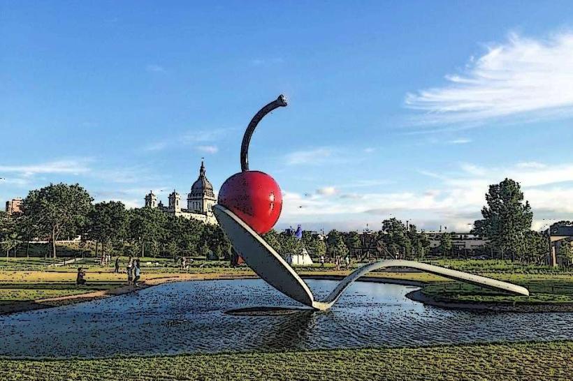
- Walker Art Center (2.0km Northeast)
- Theodore Wirth Park (2.5km Northwest)
- Uptown Minneapolis shopping district (1.0km Northeast)
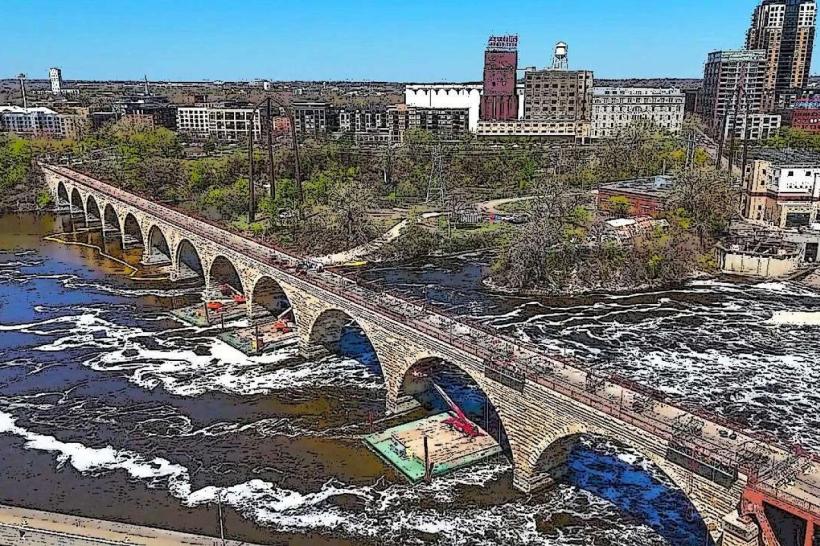
- Stone Arch Bridge (5.0km East)