Landmark: Boom Island Park
City: Minneapolis
Country: USA Minnesota
Continent: North America
Boom Island Park, Minneapolis, USA Minnesota, North America
Boom Island Park is a 9.4-acre public park situated on an island in the Mississippi River in Minneapolis, Minnesota.
Visual Characteristics
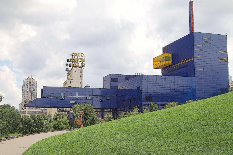
The park features a sandy beach area, mature trees providing canopy cover, and open lawn spaces. The terrain is generally flat, with paved pathways traversing the island. Views of the Minneapolis skyline are visible from the western edge of the park.
Location & Access Logistics
Boom Island Park is located at 7245 W River Rd, Minneapolis, MN 55430. It is accessible via West River Road. The park is approximately 3.2 kilometers (2 miles) north of the Minneapolis city center. Parking is available in designated lots within the park. Public transport options include Metro Transit bus route 17, which stops near the park entrance on Plymouth Avenue.
Historical & Ecological Origin
The island was historically used for log storage and processing during Minneapolis's logging era. The park was developed in the late 20th century as part of the Minneapolis Park and Recreation Board's initiative to reclaim industrial areas for public use. Ecologically, it is a riverine island ecosystem within the Mississippi River.
Key Highlights & Activities
Activities include picnicking at designated shelters, swimming at the designated beach area (seasonal), and walking or cycling on the paved trails. Kayaking and paddleboarding are possible on the Mississippi River adjacent to the park. A playground is available for children.
Infrastructure & Amenities
Restrooms are available. Picnic shelters with tables are present. Shade is provided by mature trees. Cell phone signal (4G/5G) is generally available. Food vendors are not permanently located within the park, but are present during special events.
Best Time to Visit
The best time for photography of the skyline is late afternoon. The park is most comfortable for outdoor activities from May through September, with daytime temperatures averaging between 15-25 degrees Celsius (60-77 degrees Fahrenheit). Swimming is permitted during the summer months when lifeguards are on duty.
Facts & Legends
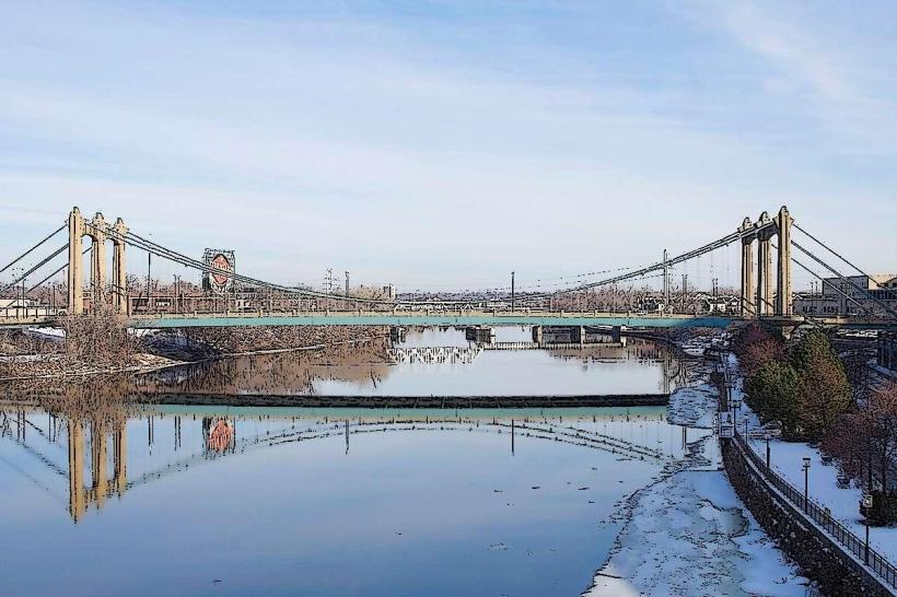
The park's name originates from the booms used to corral logs floated down the Mississippi River for processing at nearby sawmills. A specific historical oddity is the remnants of old pilings still visible in the riverbed, evidence of its industrial past.
Nearby Landmarks
- Theodore Wirth Park (2.5km West)
- North Mississippi Regional Park (1.8km North)
- Stone Arch Bridge (3.5km South)
- Mill City Museum (3.8km South)
- Walker Art Center (4.2km Southwest)