Landmark: Tambopata River
City: Madre de Dios
Country: Peru
Continent: South America
Tambopata River, Madre de Dios, Peru, South America
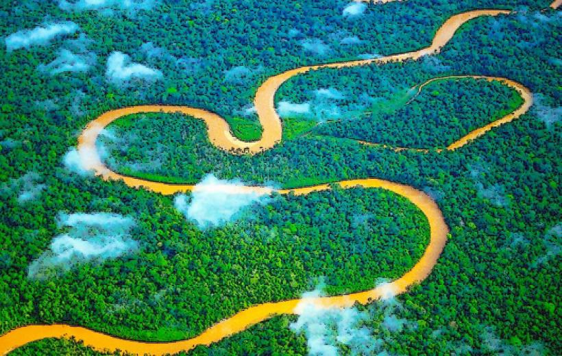
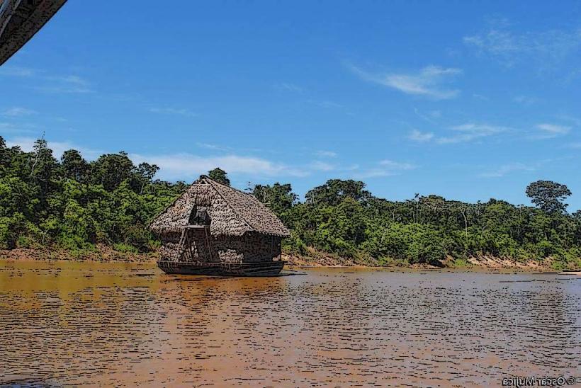
The Tambopata River is a major waterway in the Madre de Dios region of southeastern Peru. It serves as a primary artery for transportation and ecological activity within the Amazon basin.
Visual Characteristics
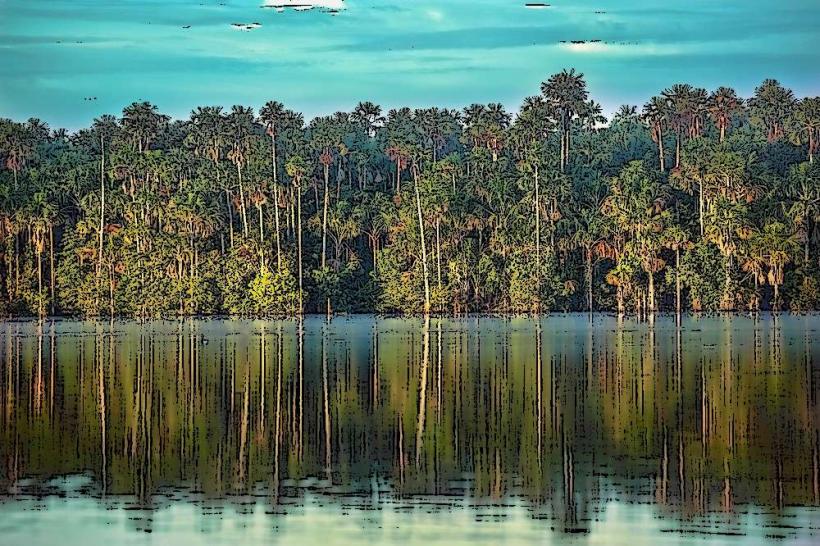
The river's water color varies from brown to reddish-brown due to sediment load, particularly during the rainy season. Its width fluctuates, averaging 100-200 meters in accessible areas. The riverbanks are characterized by dense tropical rainforest vegetation, including emergent trees and a thick understory.
Location & Access Logistics
The Tambopata River is accessed primarily via Puerto Maldonado, the capital of Madre de Dios. From Puerto Maldonado, river transport is the standard method of access. Boat journeys depart from the main port and can take several hours to reach lodges and points of interest further upstream. Road access to the river itself is limited and generally requires off-road vehicles for specific points.
Historical & Ecological Origin
The Tambopata River is part of the Amazon River system, formed by the confluence of smaller tributaries originating in the Andes. Its ecological significance lies in its role as a habitat for diverse wildlife and its contribution to the nutrient cycling of the Amazon rainforest. Indigenous communities have utilized the river for millennia.
Key Highlights & Activities
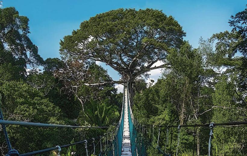
Activities include boat excursions for wildlife observation (e.g., caiman, capybara, various bird species), guided jungle hikes along riverine trails, and visits to clay licks (collpas) where macaws and parrots congregate. Piranha fishing is also a common activity.
Infrastructure & Amenities
Infrastructure is concentrated at eco-lodges situated along the river. These typically offer basic amenities such as private rooms, communal dining areas, and guided tour services. Cell phone signal is generally absent or very weak in most areas along the river. Restrooms are available at lodges. Shade is abundant due to the rainforest canopy.
Best Time to Visit
The dry season, from May to October, offers more stable river levels and less rainfall, facilitating boat travel and hiking. The wet season (November to April) sees higher river levels, which can make some trails inaccessible but also increases the visibility of certain wildlife. Early morning and late afternoon provide optimal lighting for wildlife photography.
Facts & Legends
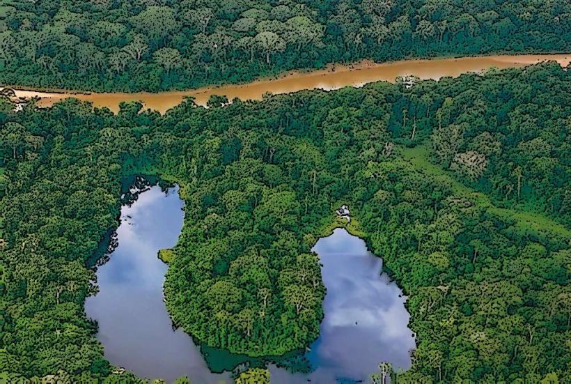
The Tambopata National Reserve, protecting a significant portion of the river's basin, is renowned for its high biodiversity, including over 1,000 species of birds and 150 species of mammals. A local legend speaks of the "Yacumama," a giant water serpent said to inhabit the deepest parts of the river.
Nearby Landmarks
- Tambopata National Reserve (0km, encompassing the river)
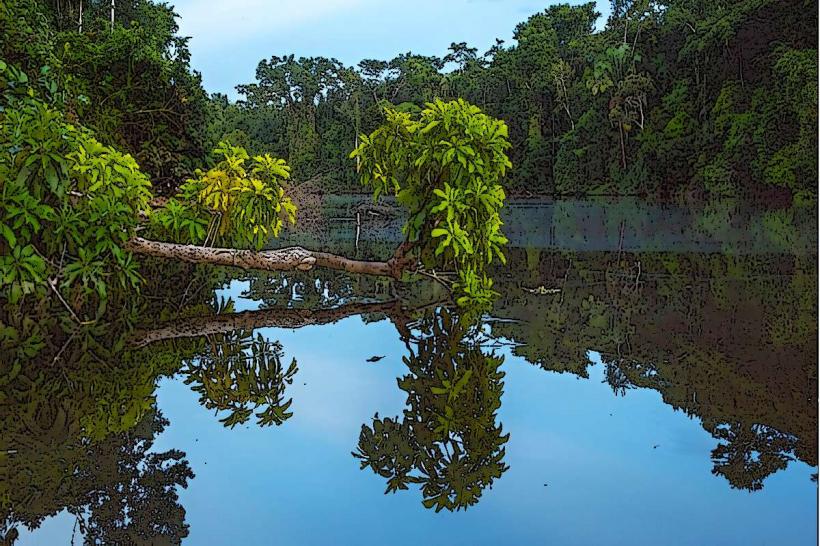
- Lake Sandoval (5km Southwest)
- Chuncho Clay Lick (40km North)
- Tres Chimbadas Lake (8km Southwest)