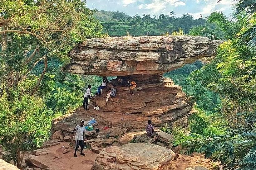
Landmark: Umbrella Rock
City: Koforidua
Country: Ghana
Continent: Africa
Umbrella Rock, Koforidua, Ghana, Africa
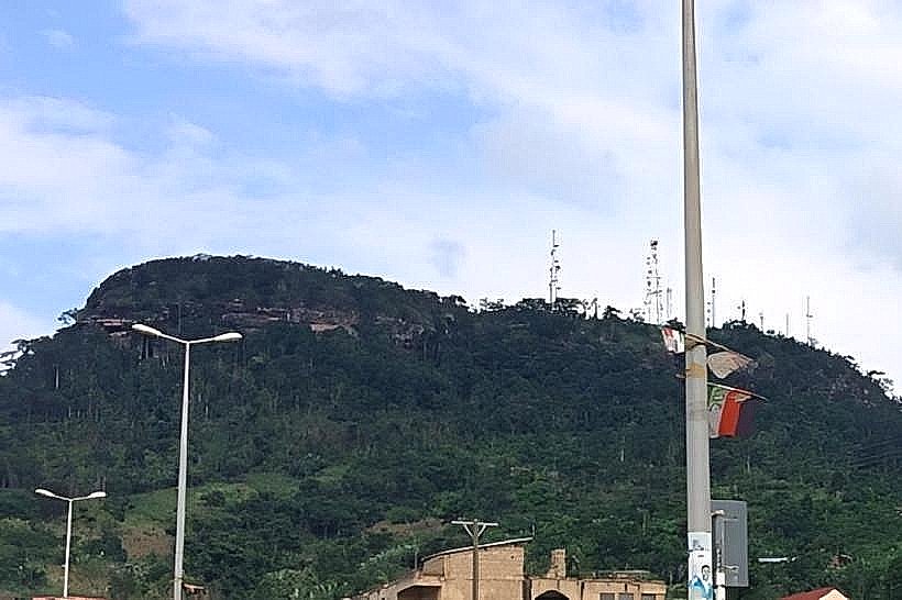
Umbrella Rock is a natural sandstone overhang located on a high ridge overlooking the Pawnpawn River valley in the Yilo Krobo District. It functions as a prominent geological landmark and scenic lookout point within the Boti Falls forest reserve area.
Visual Characteristics
The formation consists of a large, flat sedimentary rock cap supported by a narrow, eroded stone pedestal, resembling an umbrella or mushroom. The rock displays horizontal strata of grey and tan sandstone with orange iron-oxide staining. The top surface is approximately 12 meters in diameter, while the height from the base to the capstone is roughly 8 meters.
Location & Access Logistics
The site is accessed via a 45-minute uphill trek starting from the Boti Falls visitor center, located off the Koforidua-Huhunya Road. The trail consists of steep, uneven dirt paths and natural stone steps through dense forest. From Koforidua, the journey involves a 17km drive to the trailhead; private vehicles can park at the Boti Falls lot.
Historical & Ecological Origin
This landform is a product of differential weathering, where softer lower layers of Voltaian sandstone eroded faster than the harder upper capstone. Historically, the ridge served as a strategic lookout point for the Yilo Krobo people during regional conflicts in the 18th and 19th centuries. The surrounding vegetation is secondary semi-deciduous forest.
Key Highlights & Activities
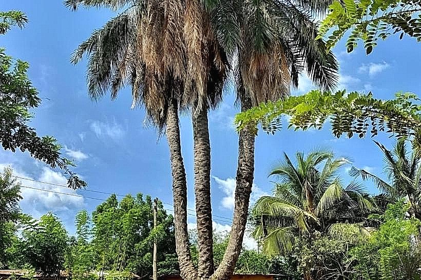
Guided hiking is the primary method of access, often bundled with tours of the nearby "Three-Headed Palm Tree." The flat top of the rock is accessible via a rudimentary ladder for panoramic views of the Eastern Region. Photography of the surrounding valley and the unique silhouette of the rock is a central activity.
Infrastructure & Amenities
There are no modern facilities at the rock itself; restrooms and visitor services are located at the Boti Falls trailhead 1km away. Shade is provided naturally by the rock overhang. Cell phone signal (4G) is generally stronger at this elevation than in the valley below. No food or water vendors operate at the summit.
Best Time to Visit
The best time for photography is at sunrise or sunset to capture the silhouette against the valley. Dry season months (November to March) offer clearer views and safer, less slippery trail conditions. Visiting before 10:00 avoids the peak tropical heat during the ascent.
Facts & Legends
Local folklore suggests that the rock was used by ancient hunters as a spiritual sanctuary and that the "Three-Headed Palm Tree" nearby is its mystical sibling. A specific tip for visitors is to wear high-traction hiking boots, as the sandstone surface becomes extremely slick when even slightly damp.
Nearby Landmarks
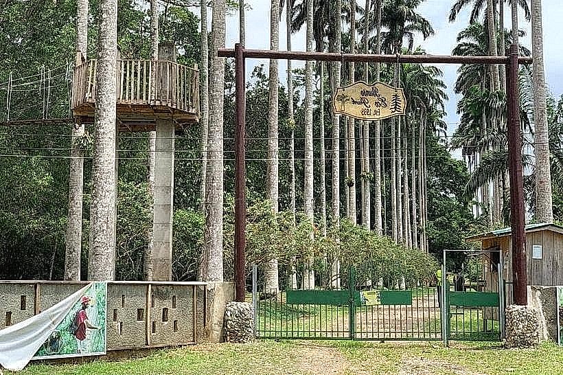
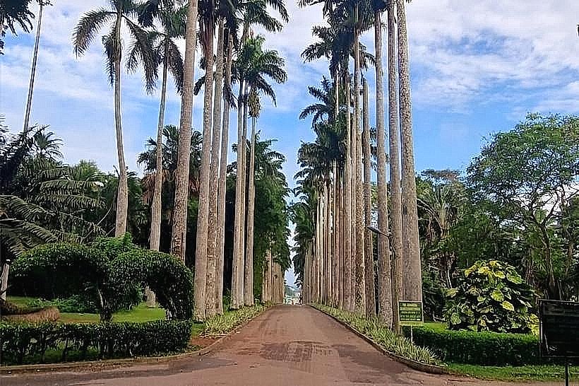
Three-Headed Palm Tree: 0.4km East
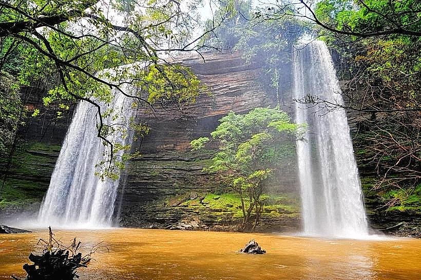
Boti Falls: 1.0km South
Huhunya Forest Reserve: 1.5km West
Akaa Falls: 4.8km Southeast