Landmark: Wadi Sahtan
City: Rustaq
Country: Oman
Continent: Asia
Wadi Sahtan, Rustaq, Oman, Asia
Wadi Sahtan is a prominent mountain valley located in the Al Batinah South Governorate, branching off from the Rustaq area and extending deep into the north face of the Al Hajar Mountains. It is frequently referred to as the "Mandala of Oman" due to the circular arrangement of its surrounding mountain peaks when viewed from certain elevations.
Visual Characteristics
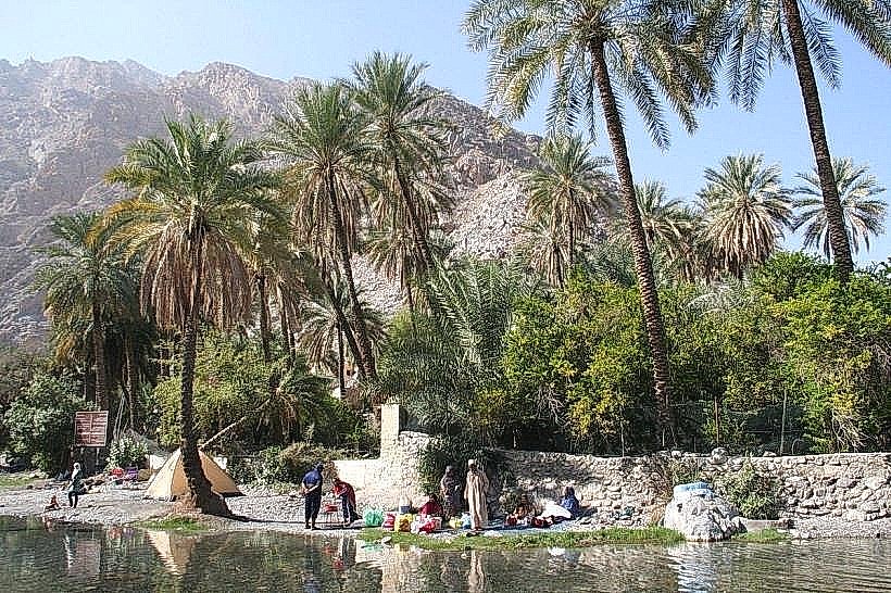
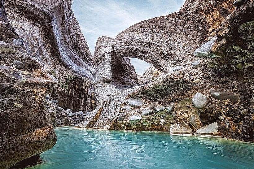
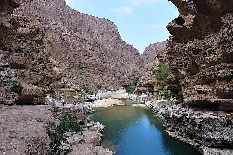
The wadi is defined by a dramatic transition from wide, sun-bleached gravel plains to narrow, vertical limestone gorges. The landscape features towering dark-toned rock walls, high-altitude plateaus, and ancient stone-built tiered farming terraces. Following seasonal rains, the valley floor host turquoise freshwater pools and active streams that sustain pockets of dense greenery and wild sidr trees.
Location & Access Logistics
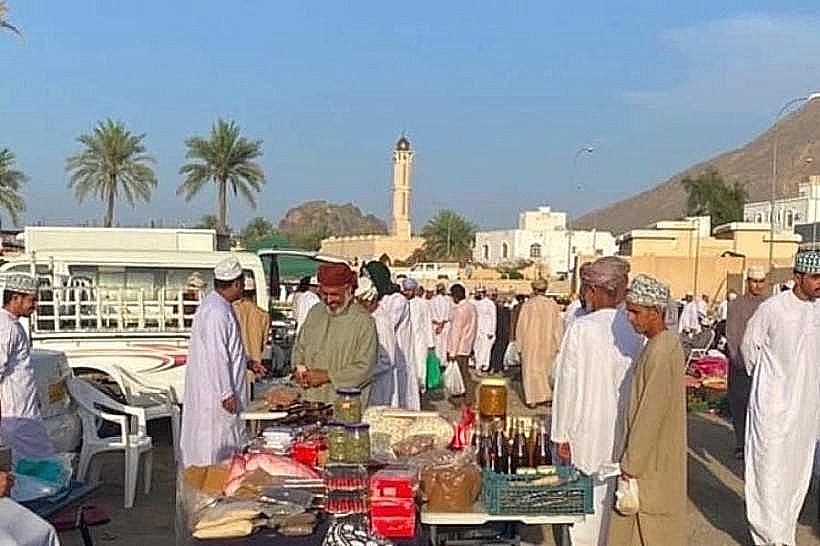
Access is via a turn-off from the main Rustaq-Miskin road (Route 21). While the initial entry into the wadi has been significantly improved with paved sections, a 4WD vehicle remains mandatory for reaching the higher villages and navigating the rugged interior tracks. The wadi is approximately 25km from Rustaq city center and is not served by public transport. Visitors must ensure a full fuel tank before entering, as there are no filling stations within the mountain passes.
Historical & Ecological Origin
The valley has been inhabited for millennia, with archaeological evidence including petroglyphs and remains of early Bronze Age settlements. Geologically, Wadi Sahtan provides an extensive look at the Hawasina Nappe and limestone formations of the Jebel Akhdar mass. The ecological system is a high-altitude mountain desert, supporting rare flora and fauna such as the Arabian tahr and various species of eagles that nest in the inaccessible cliff faces.
Key Highlights & Activities
The wadi serves as a primary access point for several high-intensity trekking routes, including trails that lead toward the Jebel Shams ridge.
Village Exploration: Traditional settlements like Wajmah and Yasab are perched on steep cliffs, featuring ancient stone architecture and active "falaj" irrigation systems.
Off-Roading: The ascent to the higher plateaus offers technical mountain driving with steep gradients and sharp switchbacks.
Photography: The "Amq" section provides high-contrast geological formations and deep shadows suitable for landscape photography.
Traditional Agriculture: Visitors can observe high-altitude farming where garlic, onions, and various fruits are still cultivated on narrow mountain terraces.
Infrastructure & Amenities
The wadi remains largely undeveloped to preserve its natural state. There are no public restrooms, restaurants, or commercial hotels within the valley; however, several traditional guesthouses operate in the higher villages. 5G cellular signal is available near the entrance but becomes non-existent in the deep canyons and high mountain shadows. Travelers must be entirely self-sufficient with water, food, and emergency supplies.
Best Time to Visit
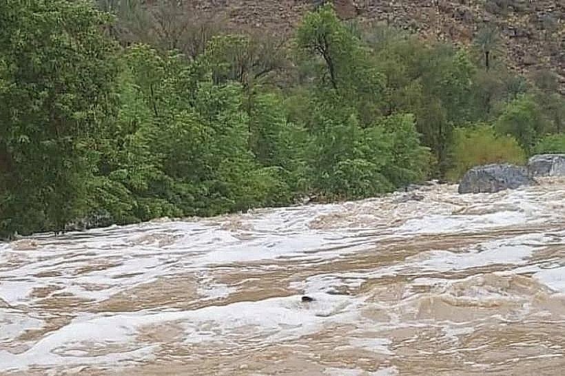
The winter months from November to March are the only recommended time for hiking and exploration due to the extreme temperatures in the summer. Early morning arrival is essential for those planning to reach the higher villages before the afternoon clouds obscure the mountain views. Like all Omani wadis, this area must be strictly avoided during rain, as the steep mountain walls cause immediate and violent flash flooding.
Facts & Legends
Wadi Sahtan is historically known as a place of refuge and isolation, where mountain tribes maintained a distinct way of life for centuries. A verified geographical fact is that the wadi acts as one of the primary northern gateways to the interior mountain crossing, though the routes are extremely challenging and intended only for experienced trekkers and mountain guides.
Nearby Landmarks
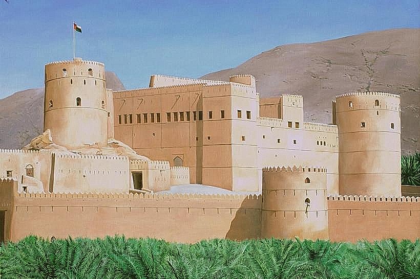
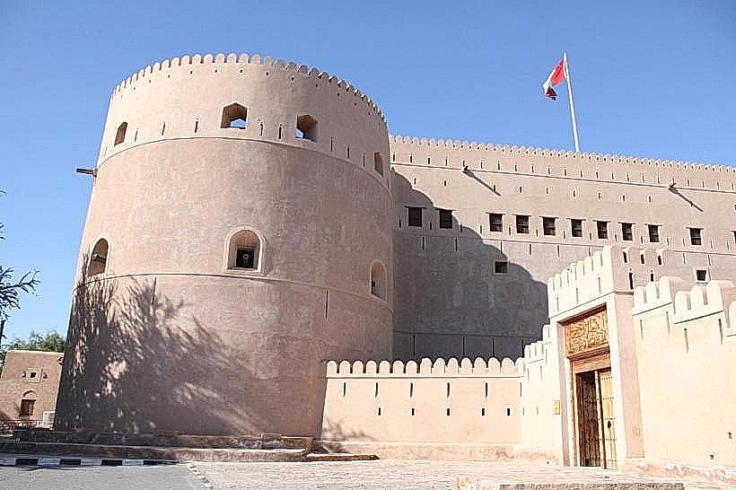
Rustaq Fort (25km North)
Wadi Bani Ghafir (30km West)
Ain Al Kasfa Hot Springs (27km North)
Al Hazm Castle (40km North)