Landmark: Wrangell St. Elias National Park & Preserve
City: Anchorage
Country: USA Alaska
Continent: North America
Wrangell St. Elias National Park & Preserve, Anchorage, USA Alaska, North America
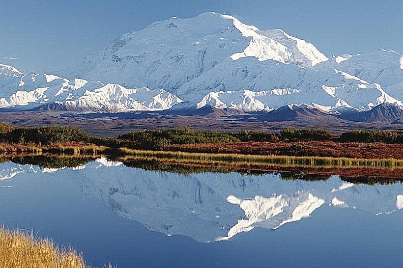
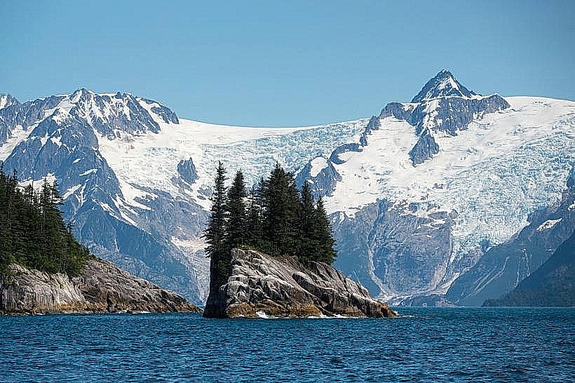
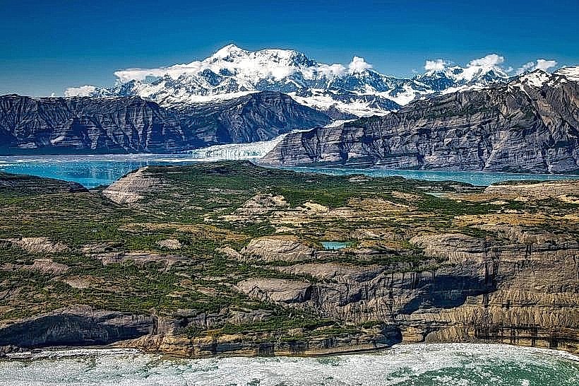
Wrangell-St. Elias National Park and Preserve is the largest national park in the United States, located in south-central Alaska. It encompasses a vast wilderness area characterized by towering mountains, glaciers, and diverse wildlife.
Visual Characteristics
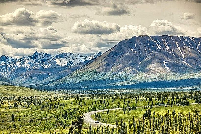
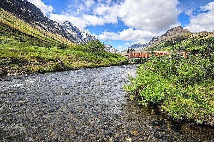
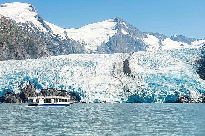
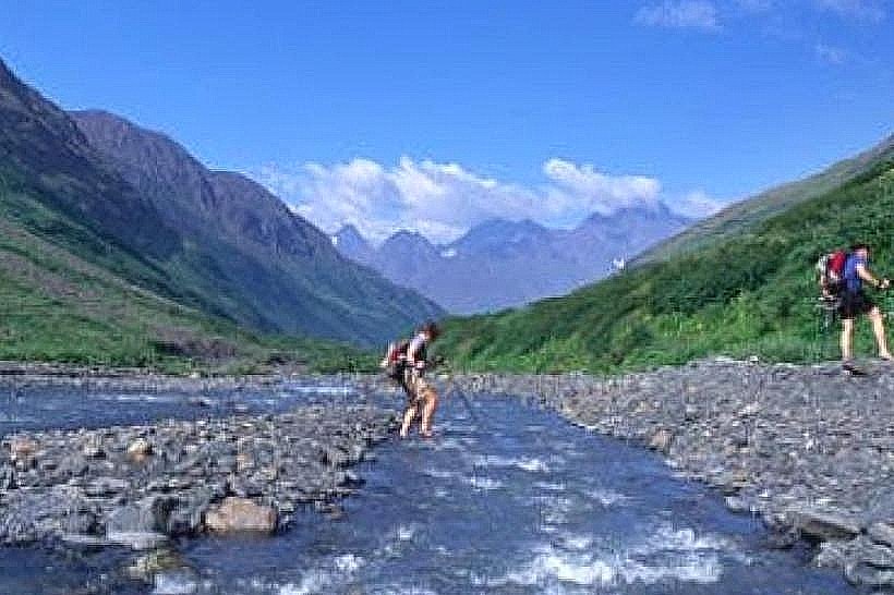
The park's landscape is dominated by the Wrangell Mountains and the Chugach Mountains, featuring numerous peaks exceeding 16,000 feet, including Mount Elias, the second-highest peak in North America. Extensive glacial systems, such as the Malaspina Glacier and the Hubbard Glacier, cover significant portions of the park. Vegetation varies from boreal forests at lower elevations to alpine tundra at higher altitudes. River systems are characterized by glacial meltwater, often appearing milky or grey due to suspended sediment.
Location & Access Logistics
The park is situated approximately 250 miles east of Anchorage. Access is primarily via the Glenn Highway (AK-1) to the Tok Cutoff (AK-2), then south on the McCarthy Road (unpaved, gravel surface) or the Edgerton Highway to Chitina, followed by the McCarthy Road. The McCarthy Road is approximately 60 miles long and requires careful driving. There is no direct road access into the core of the park; visitors typically park at the end of the McCarthy Road and utilize a shuttle bus or walk across the Kennicott River bridge to reach the McCarthy townsite and Kennicott Mine. Limited parking is available at various trailheads and access points along the park roads. Public transportation options are minimal, with charter flights being the most common alternative for reaching remote areas.
Historical & Ecological Origin
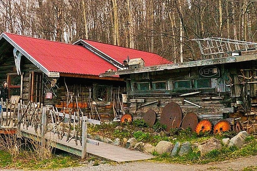
Wrangell-St. Elias was established as a National Park and Preserve in 1980. The region's geological formation is a result of tectonic plate activity and glacial erosion over millions of years. The park preserves a significant portion of the Malaspina-Yukon-Chugach Province, a vast area of glacial ice. Historically, the area was inhabited by indigenous peoples, including the Ahtna Athabascans. The discovery of copper in the early 20th century led to the development of the Kennecott Mines, which operated from 1911 to 1938.
Key Highlights & Activities
Activities include hiking on designated trails and cross-country routes, glacier trekking with a guide, flightseeing tours offering aerial perspectives of the mountains and glaciers, and wildlife viewing (e.g., Dall sheep, caribou, bears). The historic Kennecott Mine offers guided tours detailing its mining past. Backcountry camping requires permits and careful planning. River rafting on the Copper River is also a popular activity.
Infrastructure & Amenities
Basic facilities are available at the park's developed areas, including restrooms at the Kennecott Mine site and along the McCarthy Road. Limited shade is available in forested areas. Cell phone signal is intermittent and generally unavailable in remote sections of the park. Food vendors and services are concentrated in the McCarthy and Kennecott areas. Visitor centers are located in Copper Center and Valdez, with seasonal ranger stations within the park.
Best Time to Visit
The primary visitor season runs from late May through September. July and August offer the most stable weather conditions for outdoor activities. For photography, early morning and late evening light provide optimal illumination on the mountains and glaciers. Glacier trekking and flightseeing are best undertaken during daylight hours. High tide is not a significant factor for most park access, but river conditions can vary with snowmelt and rainfall.
Facts & Legends
The Kennecott Mine, located within the park, was once the world's largest producer of copper. A unique tip for visitors is to be aware of the significant diurnal temperature variations; temperatures can drop considerably after sunset, even in summer. The park's vastness means that encountering other people can be infrequent, especially in the backcountry.
Nearby Landmarks
- Chugach State Park (150km Southwest)
- Matanuska Glacier (180km West)
- Valdez (190km West)
- Copper Center (60km Northwest)
- Denali National Park and Preserve (350km Northwest)