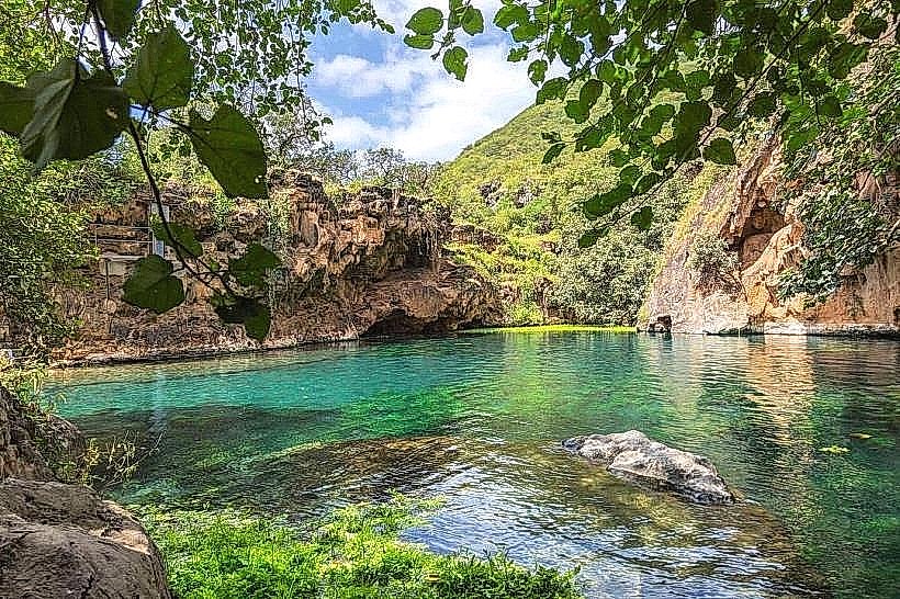
Landmark: Al Mughsail Beach
City: Salalah
Country: Oman
Continent: Asia
Al Mughsail Beach, Salalah, Oman, Asia
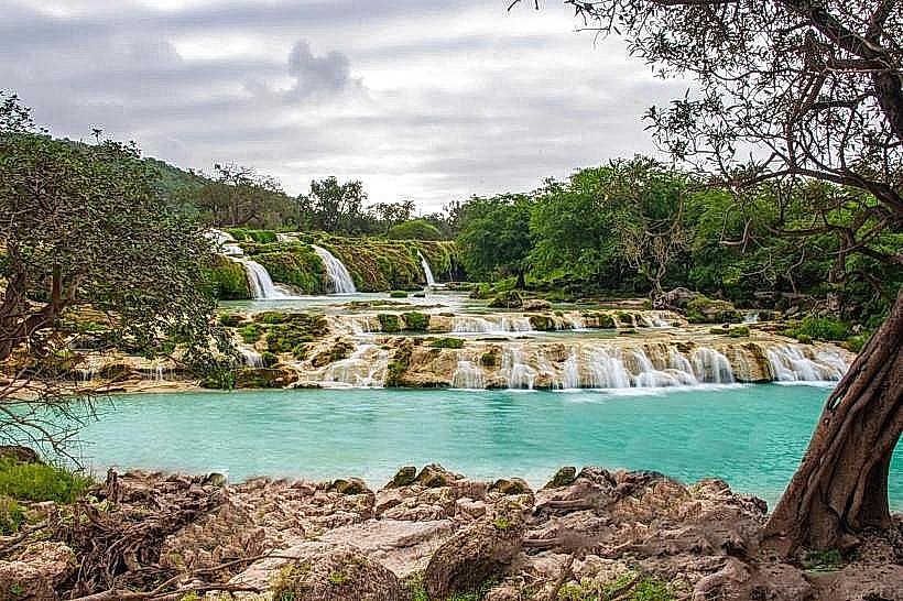
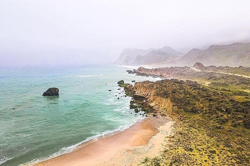
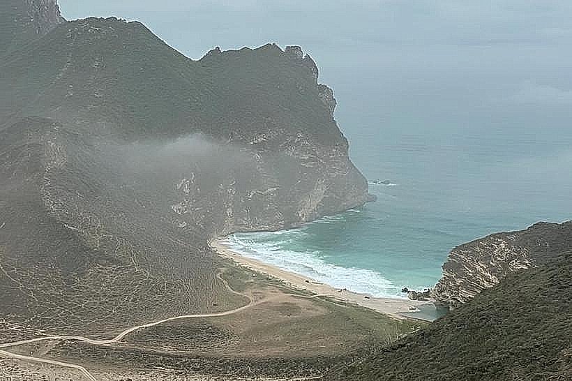
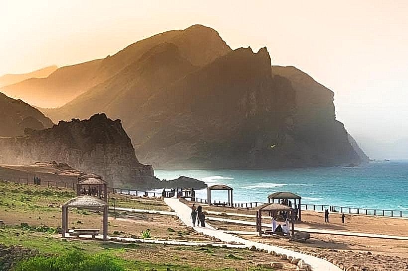
Al Mughsail Beach is a prominent coastal stretch located on the western edge of the Dhofar Governorate in Salalah, Oman. It is bounded by a steep mountain pass and the Arabian Sea, functioning as a major ecological and tourist site in Southern Oman.
Visual Characteristics
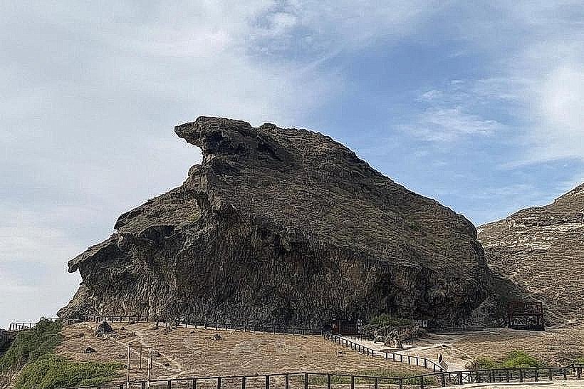
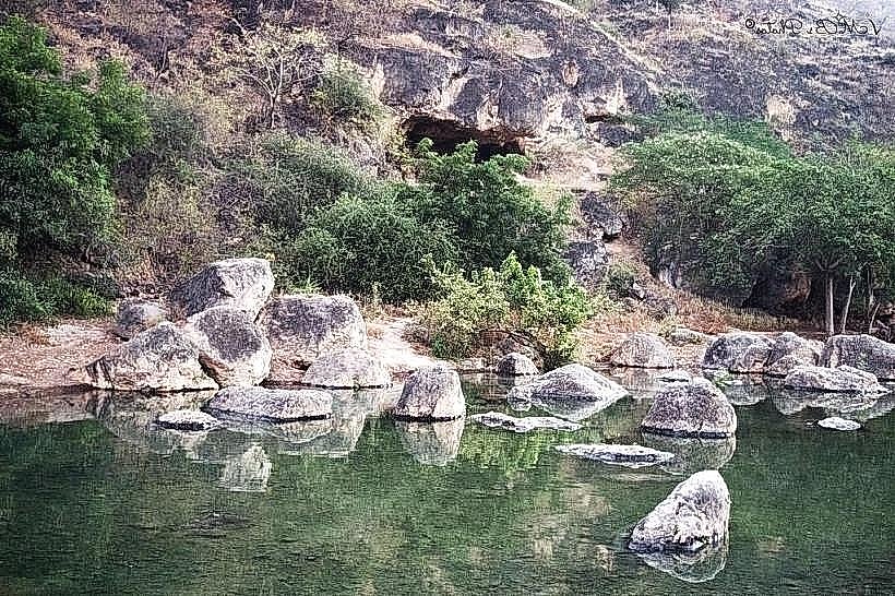
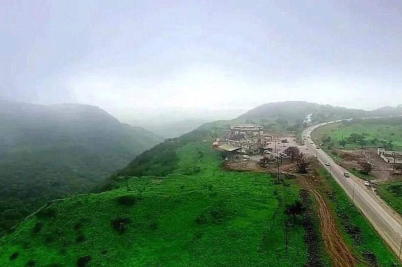
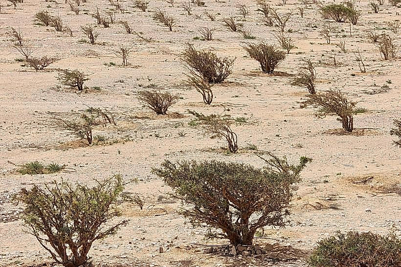
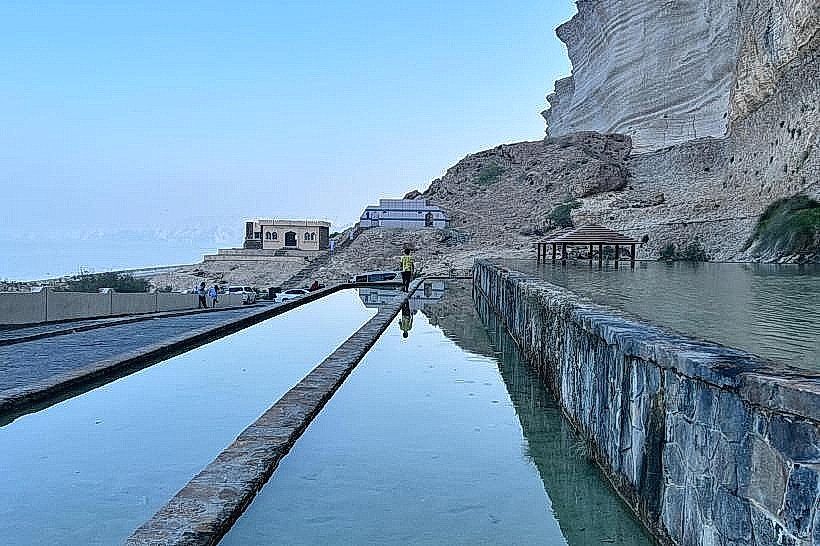
The beach features a 6km expanse of fine white sand transitioning into high limestone cliffs at the western end. The sea color ranges from deep cerulean to turquoise, with heavy surf common during the monsoon season. Vertical rock faces and natural cavernous openings characterize the shoreline, while the surrounding landscape consists of sparse desert vegetation and frankincense trees.
Location & Access Logistics
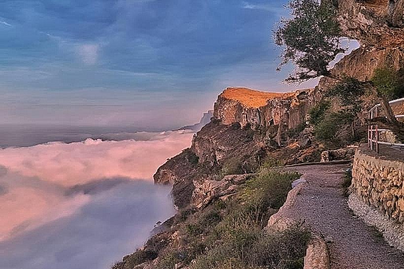
The site is located along the Salalah-Sarfait Road (Route 47), approximately 45km west of Salalah city center. Access is via a paved highway that winds through the Qara Mountains. Ample paved parking is available at the beach entrance and the adjacent Marneef Cave area. There is no reliable public bus service to this remote location; private vehicles or organized tours are required.
Historical & Ecological Origin
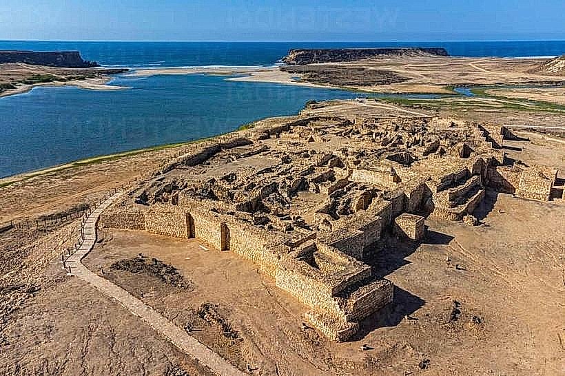
The beach is part of a coastal limestone plateau formed through millions of years of marine erosion and tectonic uplift. Historically, the area served as a natural barrier and transit point for the ancient frankincense trade routes heading toward the western border. The site is famous for its natural "blowholes," which are hollow channels in the limestone that eject seawater upward due to wave pressure.
Key Highlights & Activities
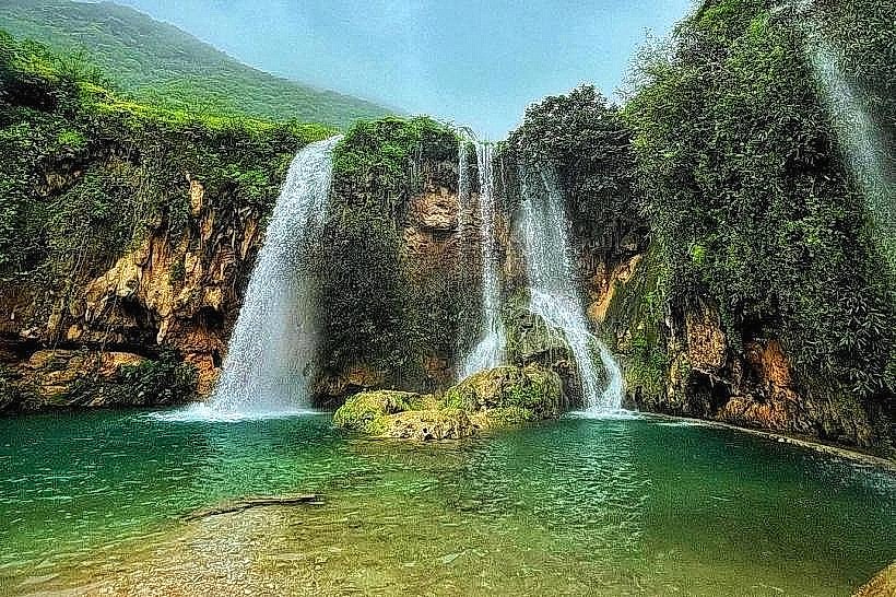
Observing the Mughsail Blowholes is the primary activity, where water can reach heights of 30 meters during high tide. Walking through the Marneef Cave, a massive natural limestone overhang, provides panoramic views of the coast. The long shoreline is utilized for beach walking and birdwatching, specifically for migratory species such as flamingos in the nearby lagoon (Khor).
Infrastructure & Amenities
The Marneef Cave area includes a developed visitor plaza with paved walkways and safety railings around the blowholes. Public restrooms and small shaded picnic huts (majlis) are provided along the beach. 4G and 5G cellular signals are generally stable near the main visitor areas. Food vendors and small cafes are located within the parking complex, though options are limited compared to the city.
Best Time to Visit
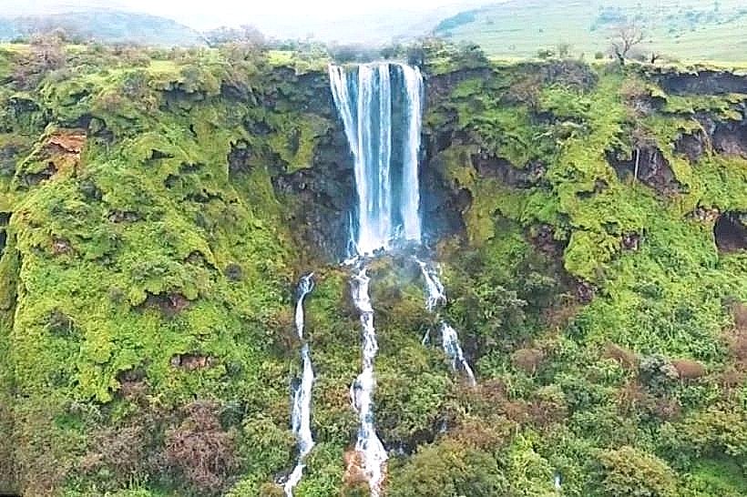
The peak season is during the Khareef (monsoon), from late June to early September, when the blowholes are most active and the mountains turn green. For photography, the late afternoon provides the best light on the limestone cliffs. High tide is essential to witness the full force of the blowhole eruptions.
Facts & Legends
The blowholes are often referred to as "natural fountains" and are powered by the Indian Ocean's swells hitting the subterranean rock chambers. Local legend suggests that the deep caves in the surrounding cliffs were used by ancient mariners for shelter and storage during storms, though the rugged terrain made them largely inaccessible to land-based travelers.
Nearby Landmarks
Marneef Cave: 0.1km West
Khor Al Mughsail (Lagoon): 1.5km East
Eftalquot Lookout: 12km East
Ayn Sahalnoot: 55km Northeast
Sarfait Border Crossing: 120km West