Landmark: Arctic Circle
City: Fairbanks
Country: USA Alaska
Continent: North America
Arctic Circle, Fairbanks, USA Alaska, North America
The Arctic Circle is a geographical line of latitude located north of the Arctic Circle, and in this context, refers to a specific marker and visitor center near Fairbanks, Alaska, USA.
Visual Characteristics
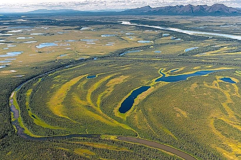
The primary visual element is a signpost marking the Arctic Circle at approximately 66°33′ N latitude. The surrounding landscape is boreal forest, characterized by coniferous trees such as black spruce and white spruce. The ground is often covered in moss and low-lying vegetation. The visitor center is a modern structure with wood and glass elements.
Location & Access Logistics
The Arctic Circle marker is located 157 miles north of Fairbanks via the Dalton Highway (also known as the Alaska Pipeline Haul Road). The highway is unpaved for significant portions. Access is primarily by private vehicle or organized tour. Parking is available at the visitor center. Public transport is not available to this specific location.
Historical & Ecological Origin
The Arctic Circle is defined by the Earth's axial tilt and its orbit around the sun. The marker and visitor center were established to provide a point of reference for travelers reaching this significant latitude. The boreal forest ecosystem is adapted to cold climates and permafrost.
Key Highlights & Activities
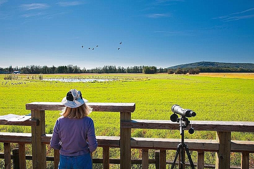
Visitors can stand at the marker and receive a certificate commemorating their crossing of the Arctic Circle. Photography of the marker and the surrounding landscape is a primary activity. Educational exhibits about the Arctic environment are available at the visitor center.
Infrastructure & Amenities
The visitor center provides restrooms and limited retail services. Shade is available from trees in the immediate vicinity. Cell phone signal is generally unreliable or non-existent. Food vendors are not present at the marker; visitors should bring their own provisions.
Best Time to Visit
For photography, midday offers the most direct sunlight. The best months for visiting are June through August, when the Dalton Highway is typically in its best condition and daylight hours are longest. Winter visits are possible but require specialized vehicles and extreme caution due to road conditions and temperatures.
Facts & Legends
A unique aspect of visiting the Arctic Circle marker is the experience of the midnight sun during summer months, where the sun does not set for extended periods. Conversely, during winter, the polar night occurs, with the sun remaining below the horizon.
Nearby Landmarks
- Dalton Highway (0km, runs North-South)
- Yukon River (approx. 50km South)
- Gates of the Arctic National Park and Preserve (approx. 100km North, entrance)