Landmark: Dalton Highway
City: Fairbanks
Country: USA Alaska
Continent: North America
Dalton Highway, Fairbanks, USA Alaska, North America
The Dalton Highway is a 414-mile (666 km) all-weather gravel road located in Alaska, USA. It extends north from the Tanana River near Fairbanks to the Arctic Ocean at Prudhoe Bay.
Visual Characteristics
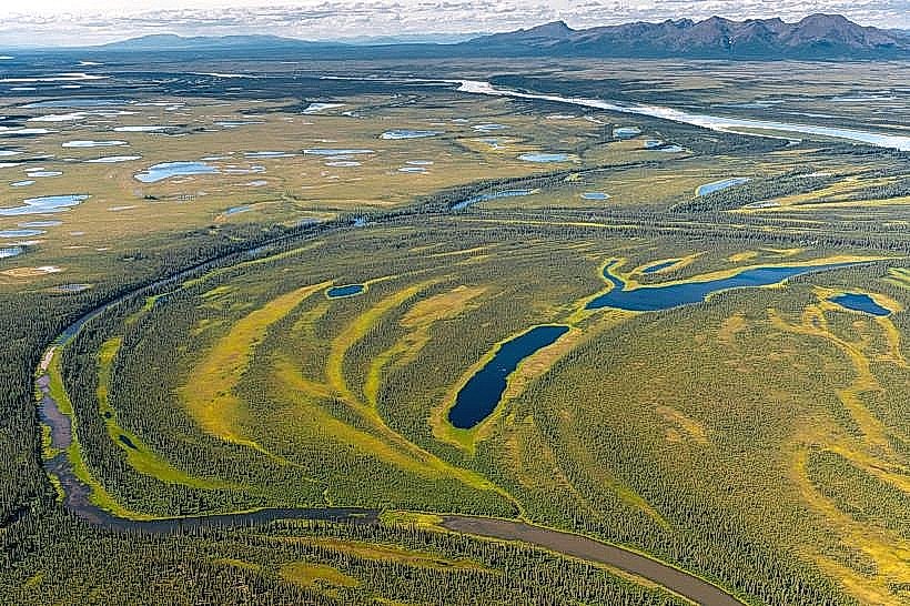
The highway is primarily a gravel surface, varying in width but generally sufficient for two lanes of traffic. Its color ranges from light grey to brown depending on the composition of the gravel and recent weather conditions. The surrounding landscape is characterized by boreal forest, transitioning to tundra north of the Yukon River. Elevation changes are gradual, with some steeper grades approaching mountain passes.
Location & Access Logistics
The southern terminus is located 25 miles north of Fairbanks, accessible via the Steese Highway (AK-2). From Fairbanks, take AK-2 North for approximately 25 miles to the junction with the Dalton Highway. The highway is unpaved for its entire length. Parking is limited and generally consists of pull-offs along the road. No public transport operates on the Dalton Highway. It is a route primarily for private vehicles, commercial trucks, and tour operators.
Historical & Ecological Origin
Construction began in 1968 as a supply route for the Trans-Alaska Pipeline System (TAPS). It was originally known as the North Slope Haul Road. The highway traverses multiple ecological zones, including boreal forest, taiga, and Arctic tundra. It crosses major river systems such as the Yukon River and the Koyukuk River.
Key Highlights & Activities
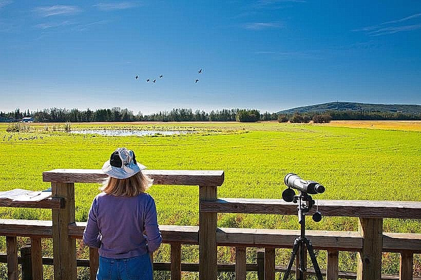
Driving the entire length of the highway is the primary activity. Specific points of interest include the Yukon River crossing, the Arctic Circle marker (milepost 115), and the Brooks Range mountain passes. Wildlife viewing opportunities exist for moose, caribou, and various bird species. Limited fishing is possible in designated areas.
Infrastructure & Amenities
Services are sparse. Gas stations and food services are located at Coldfoot (milepost 175) and Deadhorse/Prudhoe Bay (milepost 414). Restroom facilities are generally limited to these service points. Cell phone signal is largely absent for most of the route, with intermittent service possible near major settlements. Shade is minimal outside of forested areas.
Best Time to Visit
The best months for travel are typically June through September, when the gravel surface is most stable and daylight hours are longest. Winter travel is possible but requires specialized vehicles and experience due to extreme cold and potential road closures. For photography, early morning and late evening offer softer light, particularly in the forested sections.
Facts & Legends
The Dalton Highway is one of the most remote roads in North America. It is crucial for the operation of the Trans-Alaska Pipeline. A common visitor tip is to carry at least one full spare tire and essential repair tools due to the rough road conditions.
Nearby Landmarks
- Yukon River Bridge (milepost 56) - 56km North
- Arctic Circle Sign (milepost 115) - 115km North
- Gates of the Arctic National Park and Preserve (access points vary) - Adjacent to the highway in sections
- Coldfoot Camp (milepost 175) - 175km North
- Prudhoe Bay (milepost 414) - 414km North