Landmark: Ashley Creek Trail
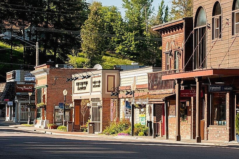
City: Kalispell
Country: USA Montana
Continent: North America
Ashley Creek Trail, Kalispell, USA Montana, North America
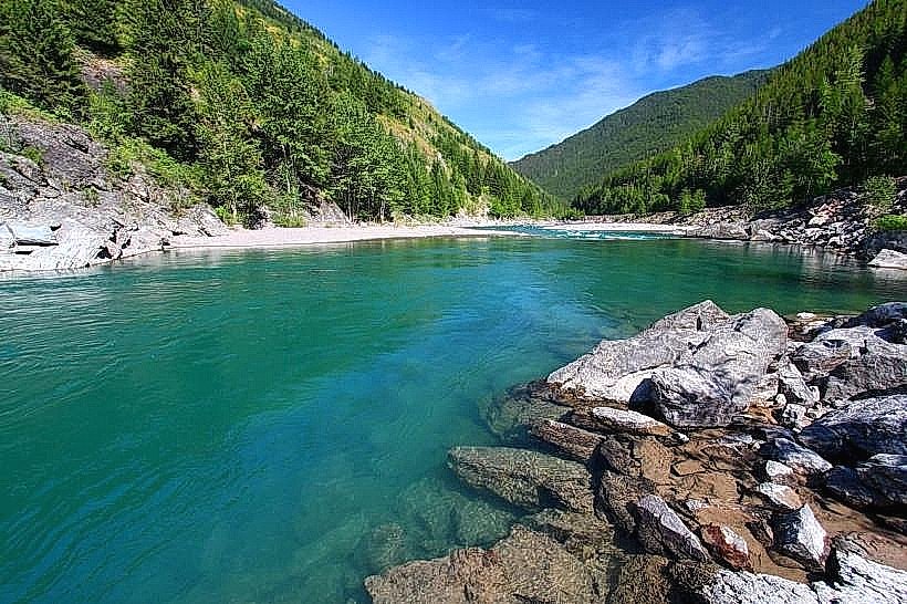
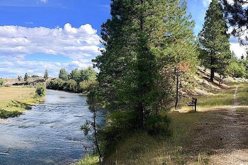
Ashley Creek Trail is a 3.2-mile out-and-back trail located in Kalispell, Montana, USA.
It follows the course of Ashley Creek, offering a linear path through riparian and forested areas.
Visual Characteristics
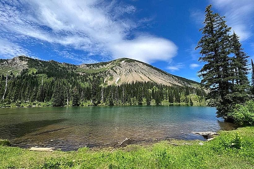
The trail surface is primarily packed dirt and gravel, with some sections of exposed roots and rocks. The path is generally 4-6 feet wide. The surrounding vegetation consists of mature coniferous trees, including Ponderosa pine and Douglas fir, interspersed with deciduous trees like aspen and cottonwood along the creek banks. Ashley Creek itself is a clear, shallow waterway with a gravel bed.
Location & Access Logistics
The trailhead is situated at the end of North Ashley Creek Road, approximately 3 miles north of downtown Kalispell. Access is via US Highway 93 North, turning east onto Ashley Creek Road. The road is paved to the trailhead. A small, unpaved parking area is available at the trailhead, accommodating approximately 15 vehicles. No public transport services reach this specific trailhead.
Historical & Ecological Origin
Ashley Creek is a natural waterway that has historically supported local wildlife and provided water resources. The trail was developed by local authorities to provide recreational access to the creek and surrounding natural environment. The area's ecology is characterized by a temperate forest ecosystem influenced by the creek's riparian zone.
Key Highlights & Activities
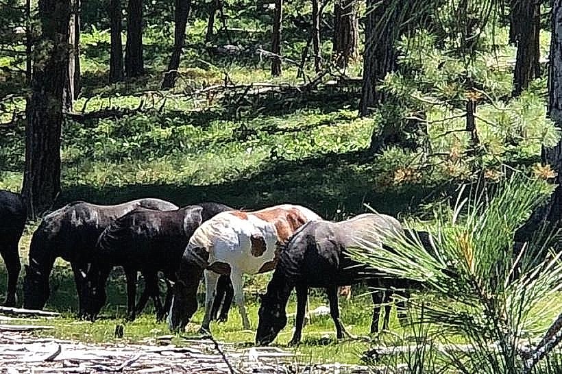
Hiking is the primary activity. The trail is suitable for walking and trail running. Birdwatching is possible due to the riparian habitat. Photography of the creek and forest is an option. Fishing is permitted in Ashley Creek, subject to Montana fishing regulations.
Infrastructure & Amenities
There are no developed restrooms or picnic facilities directly at the trailhead or along the trail. Shade is provided by the tree canopy for approximately 70% of the trail's length. Cell phone signal (4G/5G) is intermittent and unreliable along the trail. No food vendors are located near the trailhead.
Best Time to Visit
For optimal lighting for photography, early morning (7:00 AM - 9:00 AM) and late afternoon (4:00 PM - 6:00 PM) offer softer light. The best months for comfortable hiking are May through October, avoiding the heavier snows of winter. Creek levels are generally stable, with no significant tidal influences.
Facts & Legends
Ashley Creek is named after William H. Ashley, an American fur trader and politician. A specific local tip is to look for beaver dams constructed along the creek, which are active during the spring and fall months.
Nearby Landmarks
- Glacier National Park Entrance (West) - 45km Northeast
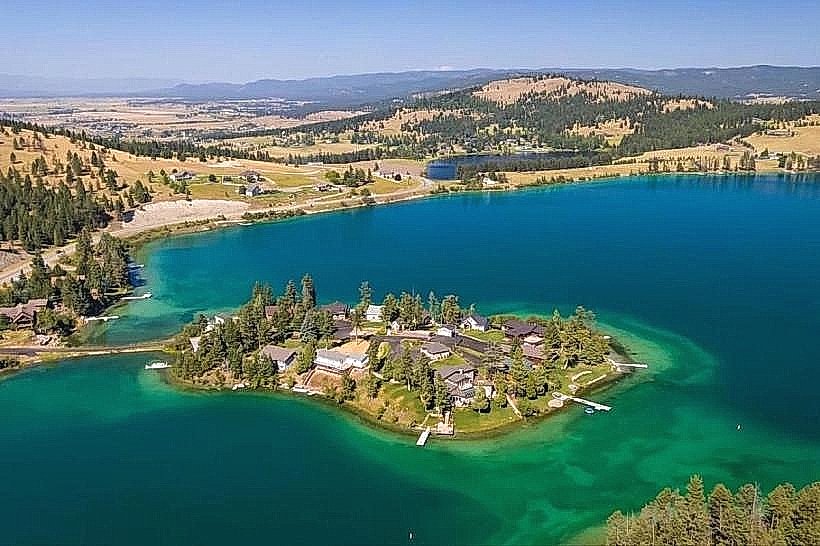
- Flathead Lake State Park (Wild Horse Island Unit Access) - 20km Southwest
- Lone Pine State Park - 8km South
- Jewel Basin Hiking Area - 35km East
- Kootenai Falls - 80km West