Landmark: Flathead National Forest
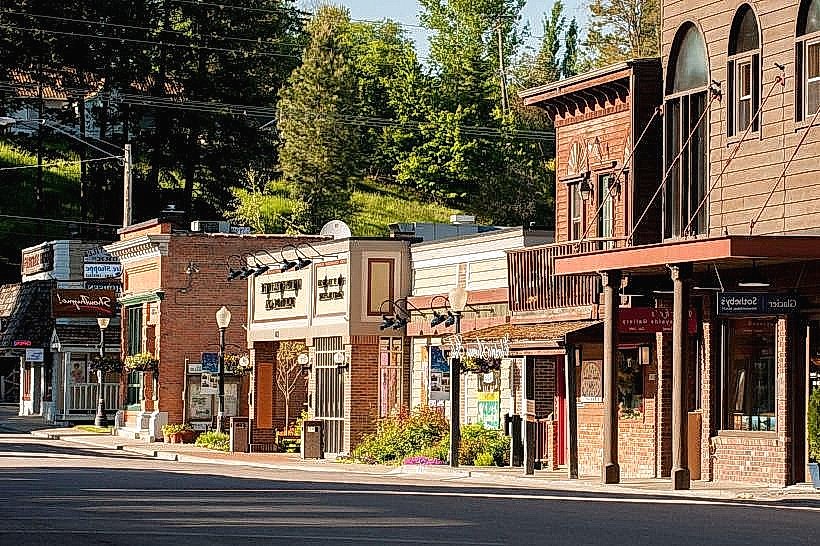
City: Kalispell
Country: USA Montana
Continent: North America
Flathead National Forest, Kalispell, USA Montana, North America
Flathead National Forest is a protected area located in northwestern Montana, USA. It encompasses a significant portion of the Northern Rocky Mountains.
Visual Characteristics
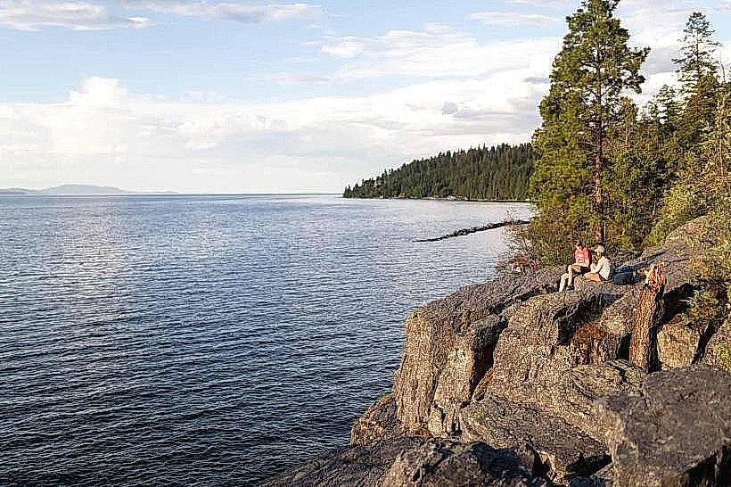
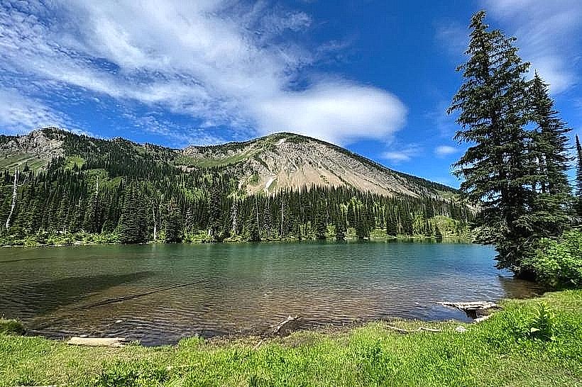
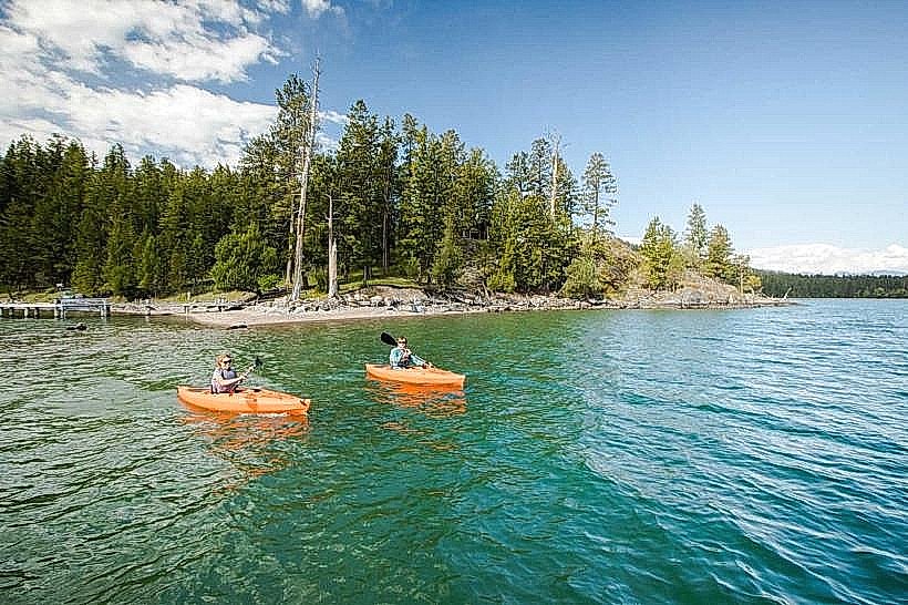
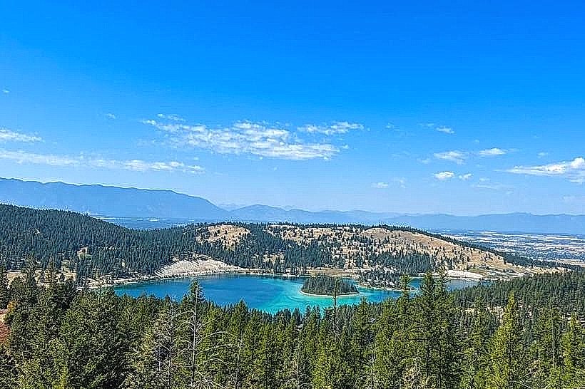
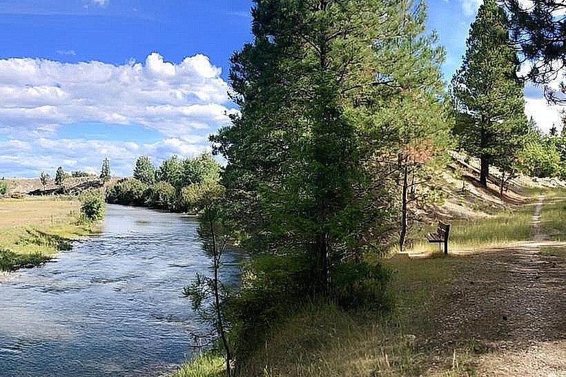
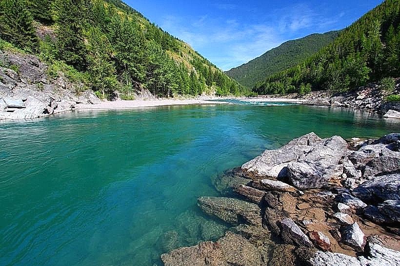
The forest is characterized by extensive coniferous forests, primarily Douglas fir, lodgepole pine, and western hemlock. Elevations range from approximately 2,500 feet (760 meters) in valley bottoms to over 9,000 feet (2,700 meters) in alpine regions. Numerous lakes, rivers, and streams are present, with water clarity varying based on sediment load. Rock formations include granite and sedimentary types, with evidence of glacial sculpting in higher elevations.
Location & Access Logistics
Flathead National Forest is situated west of the Continental Divide. Access points are numerous, with major routes including U.S. Highway 2 (running east-west through the southern portion) and Montana Highway 83 (running north-south). The forest is approximately 30 miles east of Kalispell, Montana. Numerous Forest Service roads provide internal access; many are unpaved and may require high-clearance vehicles. Parking is available at designated trailheads and campgrounds, with capacity varying. Public transport options directly into the forest are limited; nearest major transit hubs are in Kalispell and Missoula.
Historical & Ecological Origin
Established in 1907, Flathead National Forest was created to manage timber resources and protect watersheds. Its ecological origin is rooted in the uplift of the Rocky Mountains and subsequent glaciation, which shaped the current topography, creating cirques, U-shaped valleys, and moraines. The area supports diverse ecosystems, including montane forests, subalpine meadows, and alpine tundra.
Key Highlights & Activities
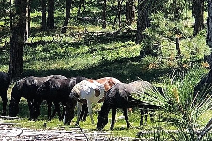
Hiking is available on over 1,000 miles of trails, including sections of the Continental Divide Trail. Fishing is permitted in designated lakes and rivers. Wildlife viewing opportunities exist for elk, deer, bears, and various bird species. Camping is available at developed campgrounds and dispersed sites. Horseback riding is permitted on designated trails.
Infrastructure & Amenities
Developed campgrounds offer vault toilets and potable water at some locations. Picnic areas with tables are present. Cell phone signal is intermittent and generally unavailable in remote areas. Food vendors are not typically found within the forest boundaries; provisions should be made before entering. Restrooms are primarily located at developed recreation sites.
Best Time to Visit
The primary visitor season is from June through September, when most roads and trails are snow-free. July and August offer the warmest weather. For photography, early morning and late afternoon light provides optimal conditions for landscape views. High-elevation trails may be accessible later into the fall, but snow can occur from September onward.
Facts & Legends
The forest contains a portion of the Bob Marshall Wilderness Complex, one of the largest wilderness areas in the contiguous United States. A specific geological feature known as the "Great Bear Wilderness" is located within the forest's boundaries, named for the grizzly bear population it protects.
Nearby Landmarks
- Glacier National Park (20km North)
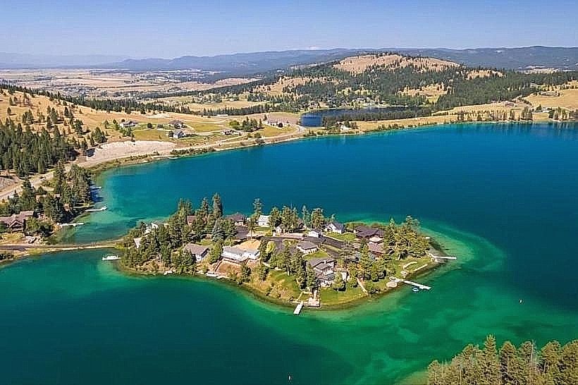
- Flathead Lake (15km West)
- Jewel Basin Hiking Area (25km Southeast)
- Swan Lake (30km South)