Landmark: Jewel Basin Hiking Area
City: Kalispell
Country: USA Montana
Continent: North America
Jewel Basin Hiking Area, Kalispell, USA Montana, North America
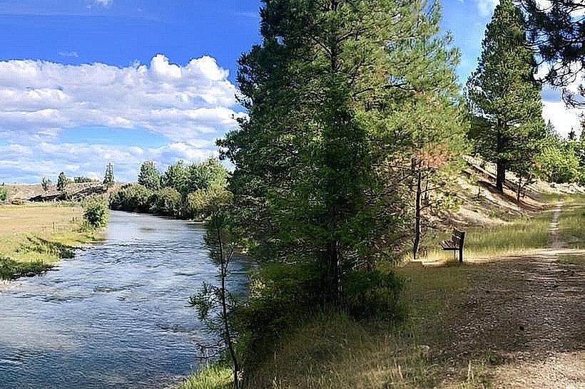
The Jewel Basin Hiking Area is a designated recreational zone located within the Flathead National Forest, approximately 25 miles east of Kalispell, Montana.
Visual Characteristics
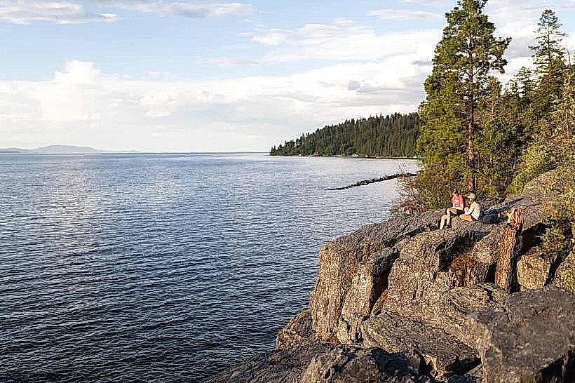
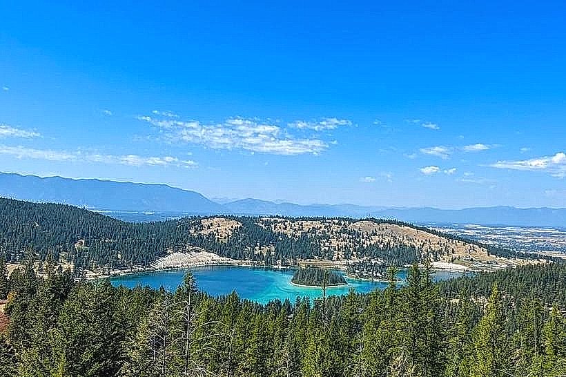
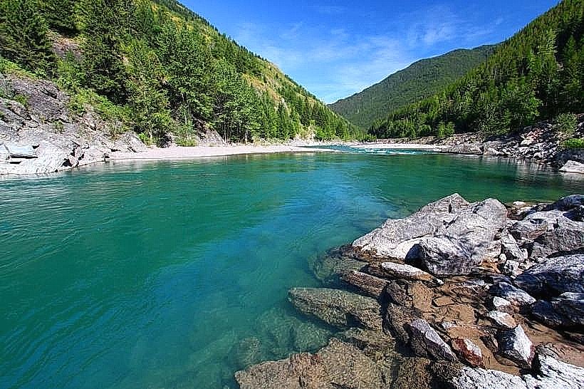
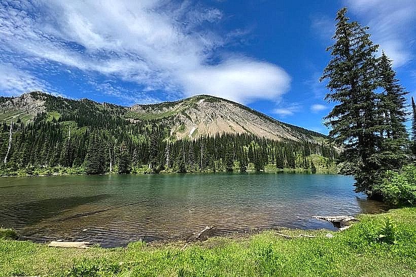
The area features a series of alpine lakes, including the prominent Emerald Lake, Sapphire Lake, and Grinnell Lake. Surrounding these bodies of water are steep, glaciated cirques with exposed granite rock faces and scree slopes. Vegetation consists of subalpine fir, Engelmann spruce, and lodgepole pine at lower elevations, transitioning to alpine meadows with wildflowers during summer months. Snowpack can persist into July at higher elevations.
Location & Access Logistics
Access to Jewel Basin is via Forest Road 559 (also known as Jewel Basin Road), which departs from Highway 2 East approximately 10 miles east of Kalispell. The road is unpaved and can be rough, requiring high-clearance vehicles. It extends for approximately 15 miles to the main trailhead parking area. Parking is limited and available on a first-come, first-served basis. No public transportation services operate directly to the Jewel Basin Hiking Area.
Historical & Ecological Origin
The landscape of Jewel Basin was shaped by glacial activity during the Pleistocene epoch. The U-shaped valleys, cirques, and the formation of the alpine lakes are direct results of glacial erosion and deposition. The area is part of the Northern Rocky Mountains ecosystem, characterized by its subalpine and alpine environments.
Key Highlights & Activities
Hiking is the primary activity. Trails include the Emerald Lake Trail (3.2 miles roundtrip, moderate), the Sapphire Lake Trail (5.4 miles roundtrip, moderate to strenuous), and the Grinnell Lake Trail (7.4 miles roundtrip, strenuous). Fishing is permitted in the lakes, subject to Montana fishing regulations. Wildlife observation, including potential sightings of mountain goats, bighorn sheep, and various bird species, is also common.
Infrastructure & Amenities
The main trailhead has a designated parking area and vault toilets. There are no potable water sources or food vendors within the Jewel Basin Hiking Area. Cell phone reception is generally unreliable to non-existent throughout the area.
Best Time to Visit
The optimal visiting period is from late June through September, after snowmelt has cleared the trails. Mid-morning to early afternoon offers the best natural light for photography of the lakes and surrounding peaks. High tide is not a relevant factor for this inland hiking area.
Facts & Legends
The naming of the lakes (Emerald, Sapphire, Ruby) is attributed to early surveyors who were struck by the distinct colors of the water. A specific tip for visitors is to be aware of afternoon thunderstorms, which are common in the mountains during summer and can develop rapidly.
Nearby Landmarks
- Glacier National Park (West Entrance): 35km North
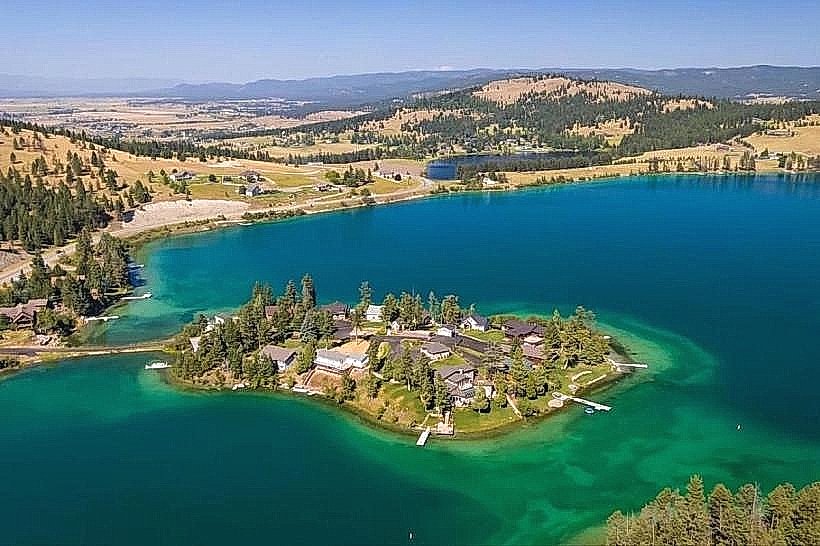
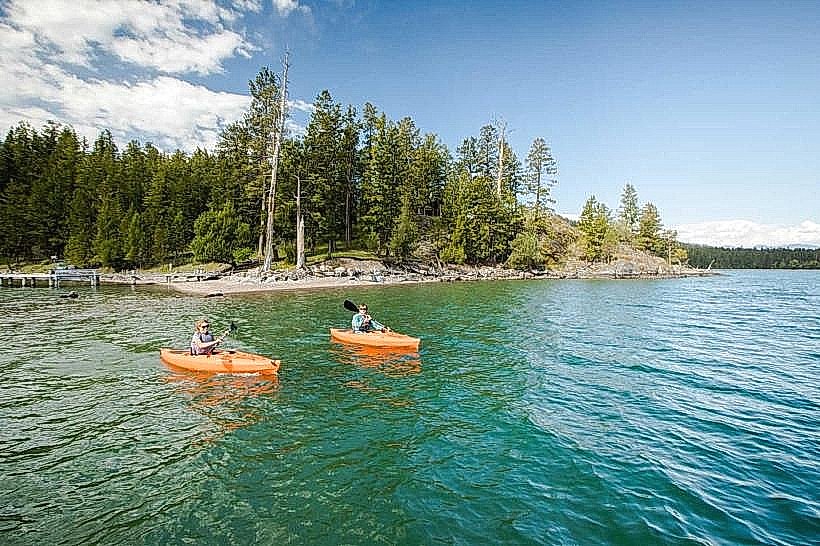
- Flathead Lake: 20km West
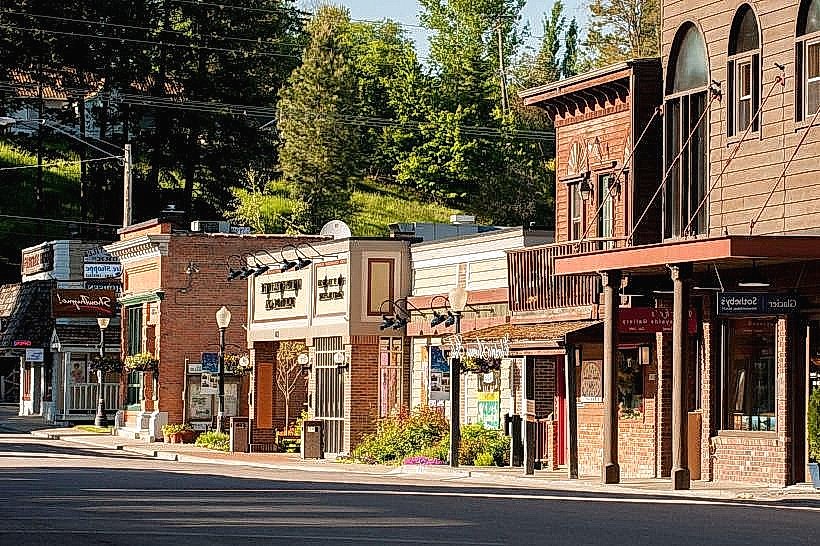
- Bigfork, Montana: 25km Southwest
- Whitefish Mountain Resort: 40km Northwest