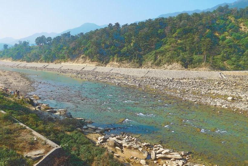
Landmark: Babai River
City: East New Britain
Country: Papua New Guinea
Continent: Australia
Babai River, East New Britain, Papua New Guinea, Australia
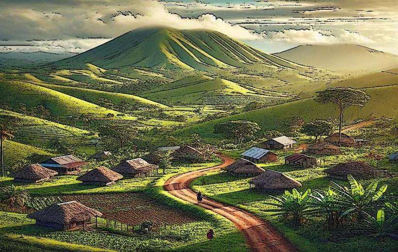
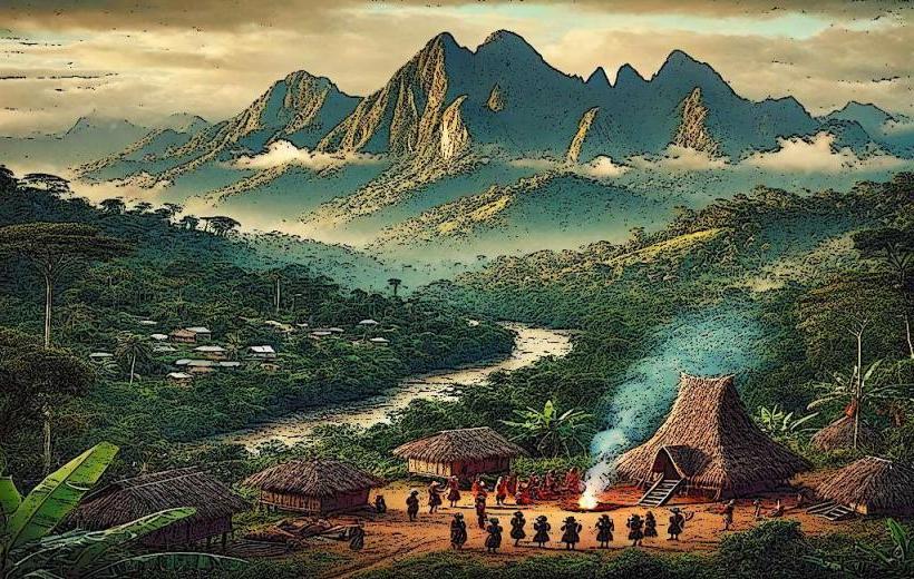
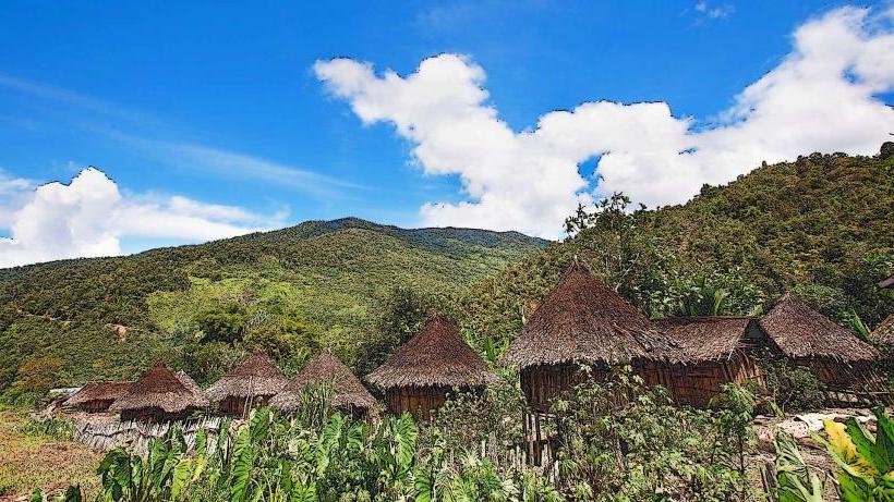
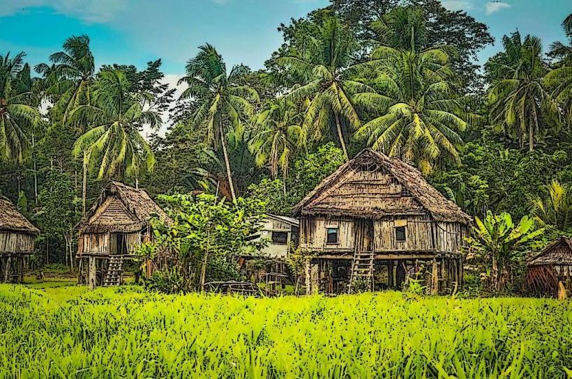
The Babai River is a waterway located in the East New Britain province of Papua New Guinea. It flows through a region characterized by dense tropical rainforest.
Visual Characteristics
The river's water color varies from a muddy brown to a clearer green depending on recent rainfall and sediment load. The banks are lined with dense, multi-layered tropical vegetation, including large ferns, palms, and emergent trees. Rock formations are visible in shallower sections, often covered in moss.
Location & Access Logistics
The Babai River is situated approximately 40 kilometers west of Kokopo, the provincial capital. Access is primarily via the Rabaul-Kokopo Highway (New Britain Highway). Turn off onto a local track approximately 5 kilometers past the town of Toma. This track is unpaved and can be rough, requiring a 4WD vehicle. The river is accessible from this track at several points, with no designated parking areas; vehicles are typically parked on the side of the track. Public transport does not service this specific river access point.
Historical & Ecological Origin
The Babai River is a natural drainage system formed by the topography of the Gazelle Peninsula. Its watershed is part of the volcanic landscape of the region, with soils derived from volcanic ash and lava flows. The river's course is shaped by erosion over millennia.
Key Highlights & Activities
Kayaking and canoeing are possible on calmer sections of the river, particularly during the dry season. Birdwatching is a primary activity due to the diverse avian population in the surrounding rainforest. Local guides can be hired for trekking along the riverbanks to observe flora and fauna.
Infrastructure & Amenities
There are no formal infrastructure or amenities directly at the river access points. Visitors should carry all necessary supplies. Cell phone signal is unreliable to non-existent in the immediate vicinity of the river.
Best Time to Visit
The dry season, from June to September, offers the most stable river conditions for water activities and easier access via the unpaved track. The early morning and late afternoon provide optimal lighting for photography of the rainforest canopy and river surface.
Facts & Legends
Local folklore suggests that the river is inhabited by water spirits. A specific point upstream is known to locals as a place where rare orchids bloom during the wet season, though their exact location is not publicly marked.
Nearby Landmarks
- Mount Tavui (15km Northeast)
- Kokopo War Memorial (35km East)
- Bismarck Sea Coastline (10km North)
- Toma Village (5km East)