Landmark: Tikana
City: East New Britain
Country: Papua New Guinea
Continent: Australia
Tikana, East New Britain, Papua New Guinea, Australia
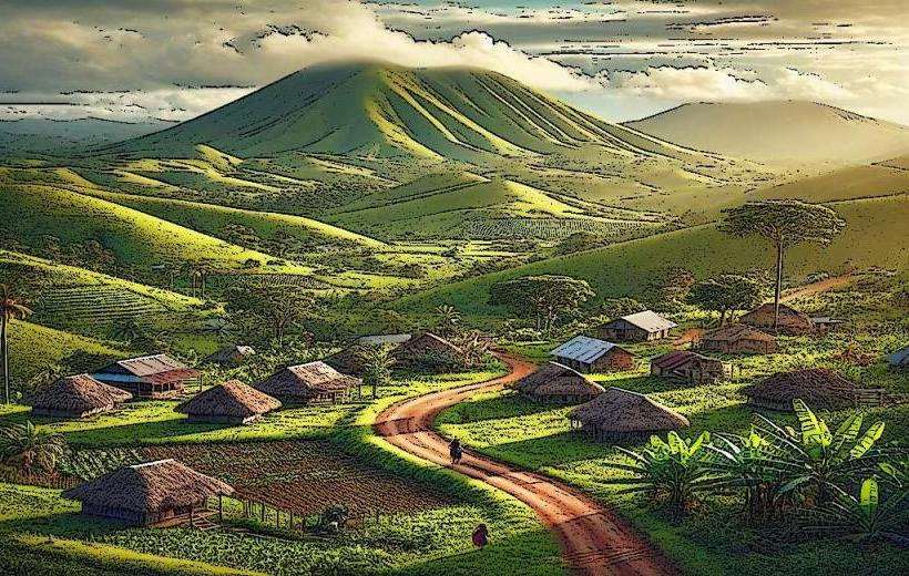
Tikana is a coastal village located on the island of New Britain in the East New Britain Province of Papua New Guinea.
It is situated on the northern coast of the Gazelle Peninsula.
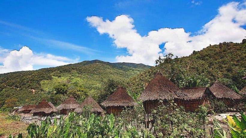
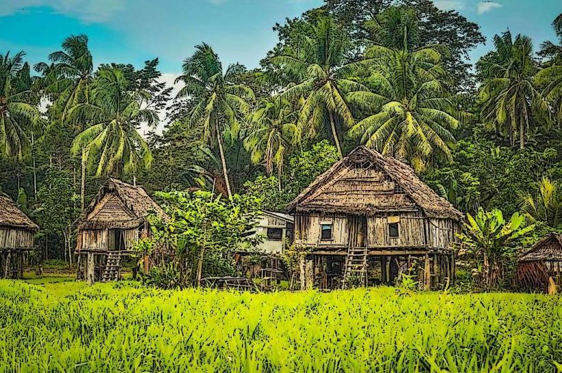
Visual Characteristics
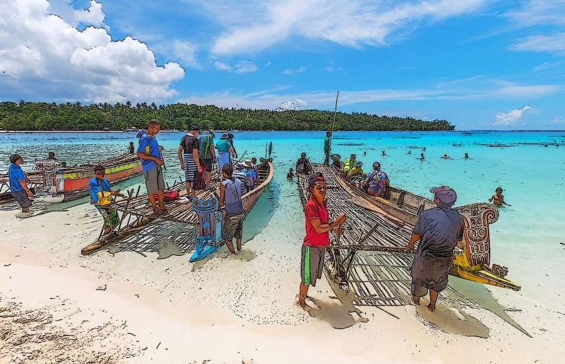
The village is characterized by traditional Melanesian housing constructed from local materials such as sago palm thatch and bamboo. Structures are generally single-story. The coastline features dark volcanic sand and is fringed by coconut palms and dense tropical vegetation. The waters offshore are typically clear and turquoise.
Location & Access Logistics
Tikana is located approximately 35 kilometers west of Kokopo, the provincial capital. Access is primarily via the Rabaul-Kokopo Highway (also known as the New Britain Highway). The road is paved but can be subject to deterioration. Travel time from Kokopo is approximately 45 minutes by private vehicle. Public transport options are limited to local PMV (Public Motor Vehicle) buses that operate along the highway, though schedules can be irregular. There is no designated parking area; vehicles typically park on the side of the road.
Historical & Ecological Origin
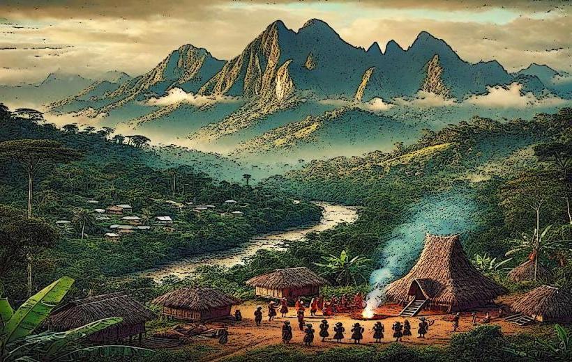
Tikana is an established indigenous settlement with a history tied to the Tolai people, who have inhabited the Gazelle Peninsula for centuries. The area's ecology is a tropical rainforest environment influenced by volcanic activity, with fertile soils supporting diverse plant and animal life. The coastline is a result of volcanic erosion and deposition.
Key Highlights & Activities
Visitors can observe traditional village life and local crafts. Opportunities exist for swimming and snorkeling in the coastal waters, particularly during calm conditions. Local fishing practices can be observed. Guided walks into the surrounding vegetation are possible with prior arrangement with village elders.
Infrastructure & Amenities
Basic amenities are available within the village, including a small local store selling essential goods. Restrooms are generally not publicly available; visitors should make arrangements beforehand. Shade is provided by natural tree cover and the roofs of dwellings. Cell phone signal (2G/3G) is intermittent and unreliable.
Best Time to Visit
The best time for visiting Tikana is during the dry season, which typically runs from June to September. During these months, rainfall is less frequent, and sea conditions are generally calmer, making coastal activities more feasible. The morning hours offer softer light for photography.
Facts & Legends
A local legend speaks of a giant sea turtle that is said to protect the waters around Tikana, ensuring good fishing for the villagers. It is considered respectful to ask permission before taking photographs of individuals or their homes.
Nearby Landmarks
- Rabaul Volcano National Park (15km Northeast)
- Bita Paka War Cemetery (20km East)
- Kokopo Beach (30km East)
- Ulamona Hot Springs (10km Southwest)