Landmark: Baining Mountains
City: East New Britain
Country: Papua New Guinea
Continent: Australia
Baining Mountains, East New Britain, Papua New Guinea, Australia
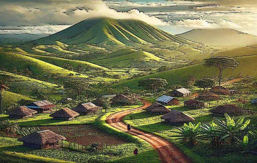
The Baining Mountains are a volcanic range located on the island of New Britain in Papua New Guinea's East New Britain Province.
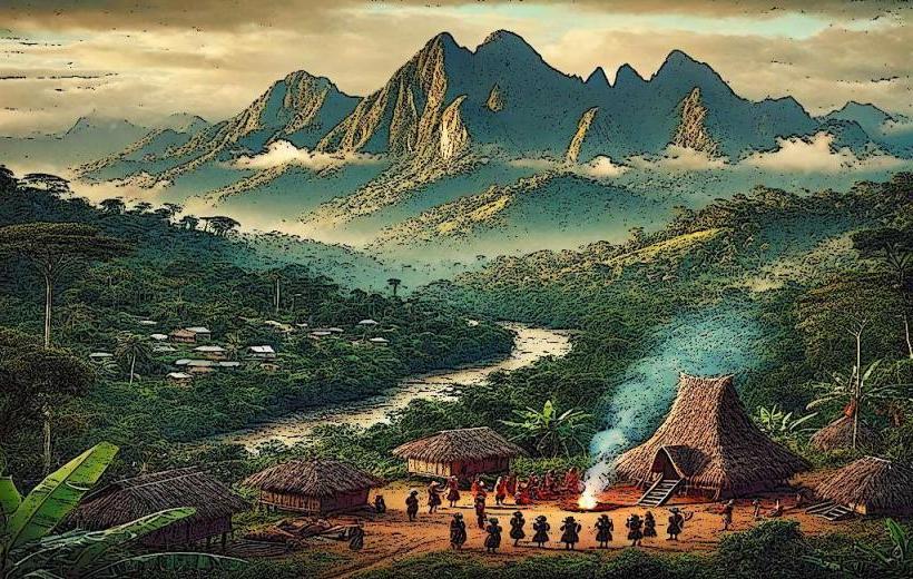
This geological formation comprises several dormant volcanoes and rugged terrain, forming the island's central spine.
Visual Characteristics
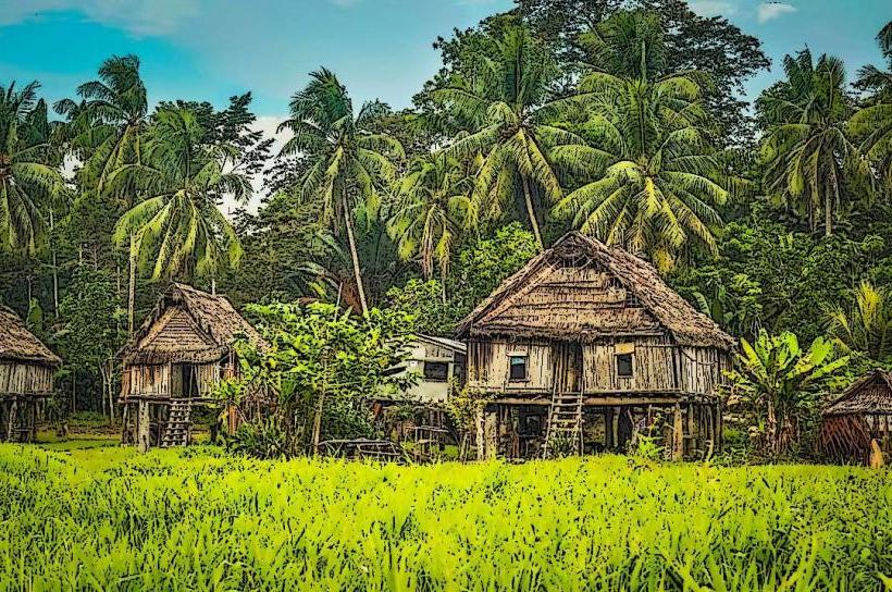
The mountains are characterized by steep, densely forested slopes. Elevations reach approximately 2,000 meters (6,560 feet). Volcanic rock formations are prevalent, with evidence of past lava flows visible in some areas. Vegetation is tropical rainforest, with a high density of trees and undergrowth.
Location & Access Logistics
The Baining Mountains are situated inland from the north coast of East New Britain. Access typically begins from Kokopo, the provincial capital. From Kokopo, travel east on the Rabaul-Kokopo Road for approximately 15 kilometers, then turn south onto the unpaved Baining Ridge Road. This road is rough and requires a 4WD vehicle. The drive to the foothills can take 2-3 hours depending on road conditions. No public transport services operate directly into the mountain range.
Historical & Ecological Origin
The Baining Mountains are part of the New Britain volcanic arc, formed by tectonic plate subduction. The range is primarily composed of andesitic and basaltic volcanic rocks. The area is classified as a tropical rainforest ecosystem, supporting diverse flora and fauna.
Key Highlights & Activities
Hiking is the primary activity, with trails leading to waterfalls and viewpoints. Observing local Baining cultural practices, particularly fire dancing ceremonies (which require specific arrangements and timing), is possible. Birdwatching is also a significant activity due to the rich avian biodiversity.
Infrastructure & Amenities
Infrastructure within the Baining Mountains is minimal. Basic shelters may be found at some trailheads. Cell phone signal is unreliable and generally absent in most areas. No food vendors or established amenities are present within the mountain range itself; supplies must be carried in.
Best Time to Visit
The dry season, from June to September, offers the most favorable conditions for hiking, with reduced rainfall. The best time of day for photography is generally early morning or late afternoon when sunlight penetrates the forest canopy. There are no tidal considerations for visiting this inland mountain range.
Facts & Legends
The Baining people are known for their elaborate fire dancing ceremonies, a ritualistic practice performed during initiation rites. These ceremonies are considered sacred and are not publicly advertised.
Nearby Landmarks
- Rabaul Volcano Observatory (15km Northwest)
- Mount Tavurvur (20km Northwest)
- Kokopo Beach (18km North)
- War Cemetery Rabaul (22km Northwest)