Landmark: Blyde River Canyon
City: Nelspruit
Country: South Africa
Continent: Africa
Blyde River Canyon, Nelspruit, South Africa, Africa
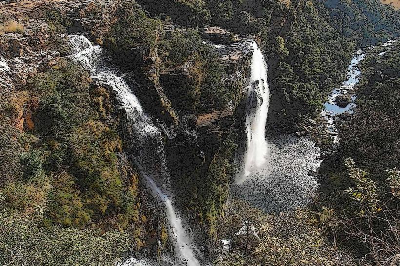
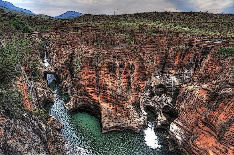
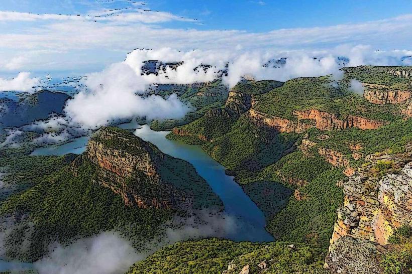
The Blyde River Canyon is a significant geological formation located in the Mpumalanga province of South Africa. It is one of the largest canyons on Earth.
Visual Characteristics
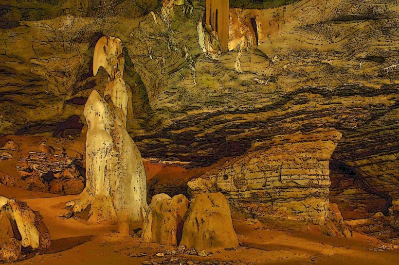
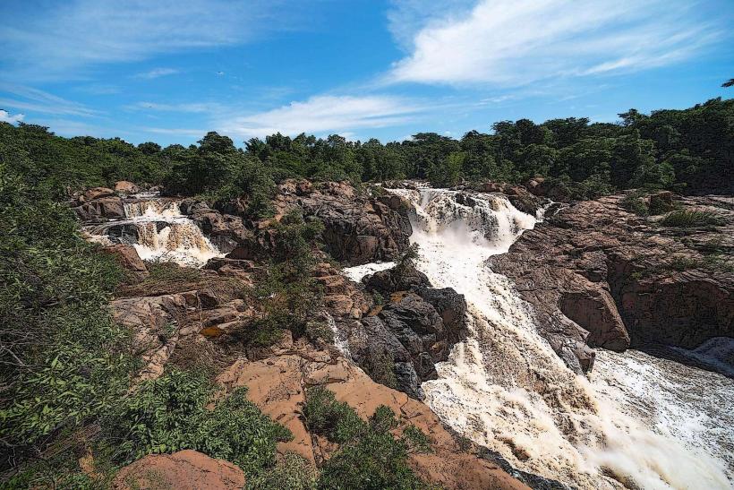
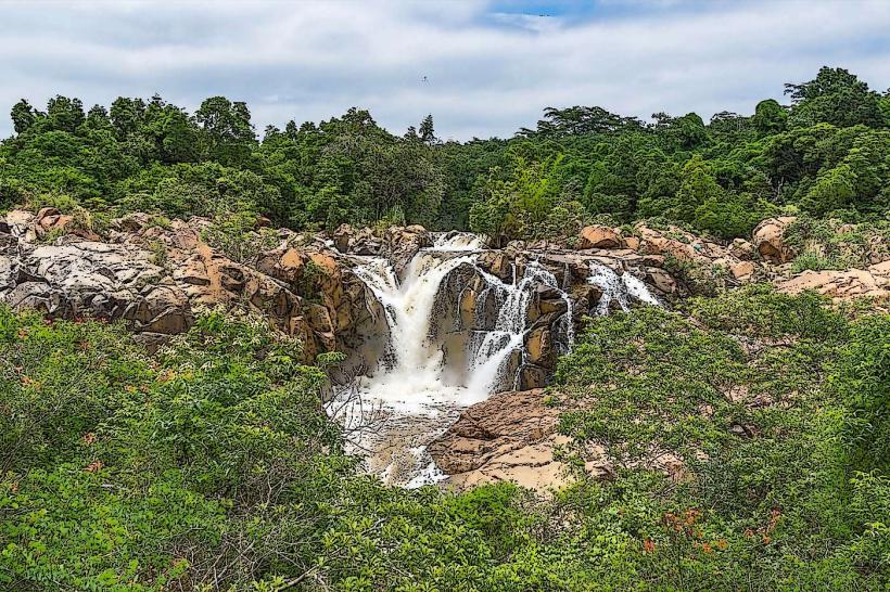
The canyon walls are composed of red sandstone and quartzite, exhibiting steep escarpments and sheer drops. Vegetation is dense, primarily subtropical rainforest, with waterfalls cascading down the rock faces. Notable formations include the Three Rondavels, resembling traditional thatched huts, and the Pinnacle Rock, a solitary, pointed rock tower.
Location & Access Logistics
The canyon is situated approximately 35 kilometers north of Graskop, accessible via the R532 road. From Nelspruit, the journey is about 120 kilometers, taking approximately 1.5 to 2 hours by car. Parking is available at designated viewpoints, including God's Window and the Three Rondavels viewpoint. Public transport options are limited; private vehicle hire or organized tours are the primary means of access.
Historical & Ecological Origin
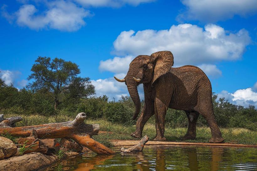
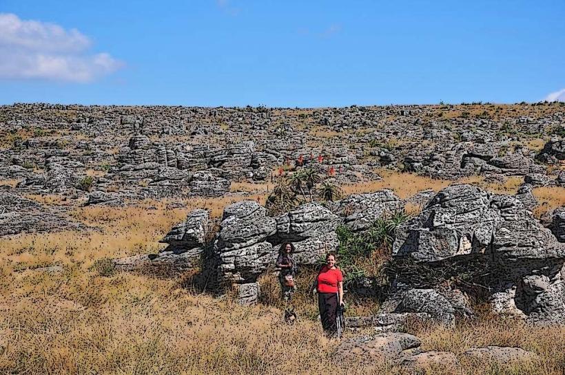
The canyon was formed over millions of years through erosion by the Blyde River. It is classified as a geological feature, specifically a canyon, carved into the Drakensberg escarpment. The area is part of the Blyde River Canyon Nature Reserve, established to protect its unique biodiversity and geological significance.
Key Highlights & Activities
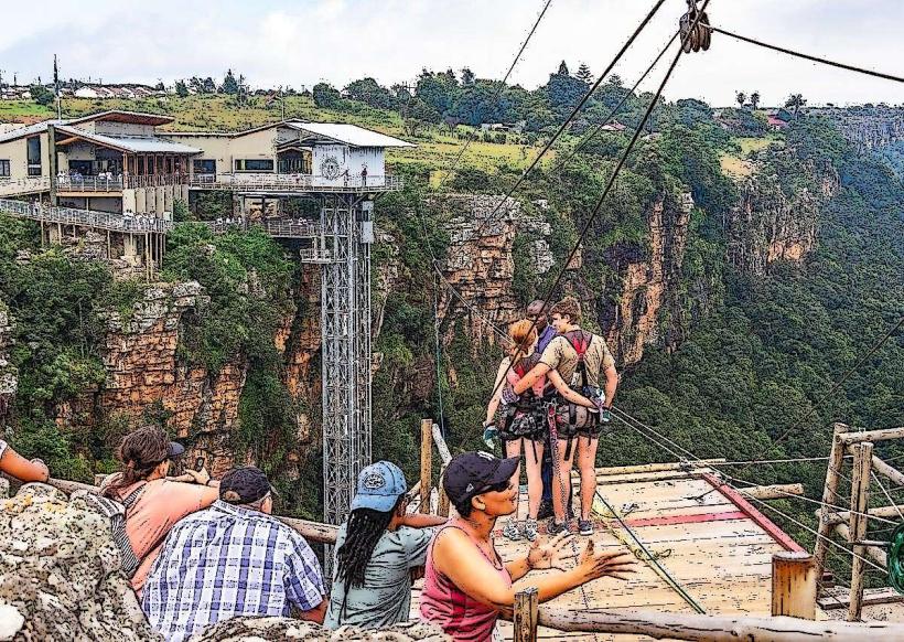
Activities include viewing the canyon from multiple viewpoints such as God's Window, the Three Rondavels, and Bourke's Luck Potholes. Hiking trails are available, including the Fanie Botha hiking trail. Boat trips operate on the Blyde Dam, offering views of the canyon walls from water level. Birdwatching is also a common activity.
Infrastructure & Amenities
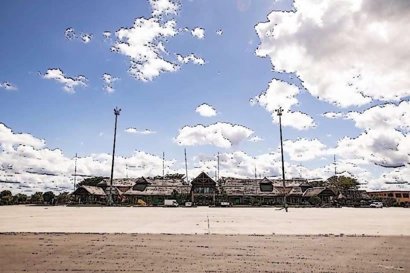
Restrooms are available at major viewpoints and the Blyde Dam. Shade is provided by natural vegetation and some constructed shelters at viewpoints. Cell phone signal (4G) is intermittent and generally poor within the canyon itself, but can be found at higher elevations and near towns. Food vendors are present at some of the more popular viewpoints, and restaurants are located in nearby towns like Graskop and Hazyview.
Best Time to Visit
The best time of day for photography is early morning or late afternoon when the sunlight casts long shadows and highlights the red hues of the rock. The dry season, from May to September, offers clearer skies and less rainfall. Boat trips on the Blyde Dam are subject to operational schedules and weather conditions.
Facts & Legends
Bourke's Luck Potholes, a series of cylindrical rock formations, were named after a prospector named Tom Bourke who allegedly found gold in the area. The Three Rondavels are named after a chief and his three wives. A local legend speaks of ancient spirits residing within the canyon's depths.
Nearby Landmarks
- Bourke's Luck Potholes (2.5km West)
- God's Window (8km South)
- The Pinnacle Rock (6km South)
- Graskop Town (10km South)
- Sabie Town (30km South)