Landmark: Kruger National Park
City: Nelspruit
Country: South Africa
Continent: Africa
Kruger National Park, Nelspruit, South Africa, Africa
Kruger National Park is a large game reserve in northeastern South Africa, managed by South African National Parks.
It is situated within the provinces of Limpopo and Mpumalanga.
Visual Characteristics
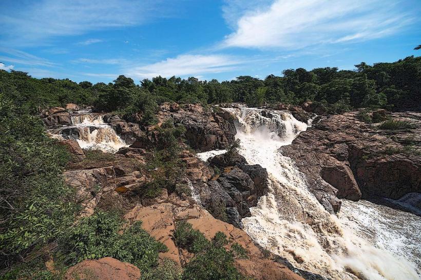
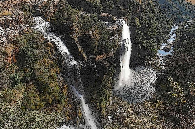
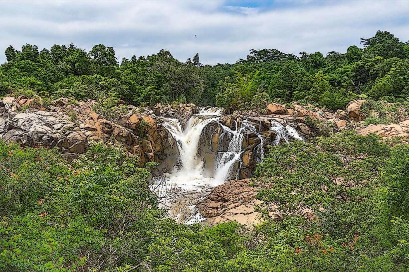
The park covers 19,485 square kilometers (7,523 sq mi) of land. Topography varies from savanna woodlands and grasslands to riparian forests along rivers. Elevation ranges from 200 meters (660 ft) in the east to 800 meters (2,600 ft) in the west. The park contains numerous rivers, including the Sabie, Crocodile, Olifants, and Letaba rivers, which support diverse vegetation and wildlife.
Location & Access Logistics
Kruger National Park is accessible via multiple gates. The main access point from Nelspruit is the Malelane Gate, approximately 45 kilometers (28 mi) north of Nelspruit on the R570 road. Other major gates include Crocodile Bridge Gate (50 km from Nelspruit via R104 and R23), Paul Kruger Gate (55 km from Nelspruit via R104 and R40), and Phalaborwa Gate (150 km from Nelspruit via R40 and R71). Large parking areas are available at all main rest camps. Public transport to the park is limited; private vehicles or organized tours are the primary means of access.
Historical & Ecological Origin
Kruger National Park was established in 1898 as the Sabie Game Reserve by the Transvaal Republic. It was expanded and renamed Kruger National Park in 1926, in honor of Paul Kruger, the president of the Transvaal Republic. The park's ecological origin is a mosaic of savanna biome types, shaped by geological history and climate, supporting a wide array of flora and fauna.
Key Highlights & Activities
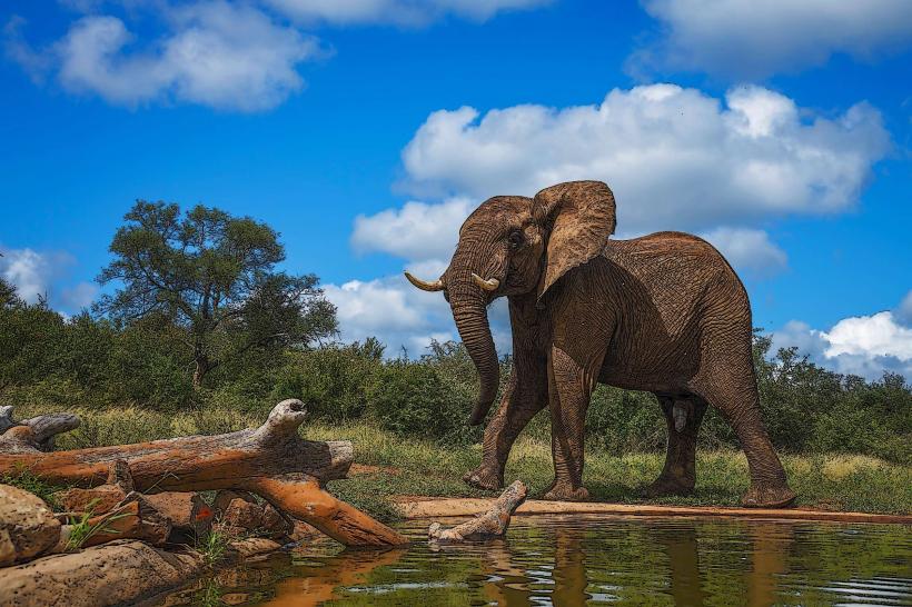
Wildlife viewing is the primary activity, with opportunities to observe the "Big Five" (lion, leopard, elephant, rhinoceros, buffalo) and over 500 bird species. Self-drive safaris are permitted on the park's extensive road network. Guided game drives (morning, afternoon, and night) are available from rest camps. Bush walks offer close-up encounters with smaller flora and fauna. Birdwatching is a significant draw for many visitors.
Infrastructure & Amenities
Rest camps within the park offer accommodation, restaurants, and basic supplies. Restrooms are available at all rest camps and designated picnic spots. Shade is provided by trees and structures at picnic sites and rest camps. Cell phone signal (4G/5G) is generally available within rest camps and along major roads, but can be intermittent in remote areas. Food vendors and shops are located within the main rest camps.
Best Time to Visit
The best time for wildlife viewing is during the dry season, from May to September, when vegetation is less dense and animals congregate around water sources. The best time of day for photography is early morning and late afternoon, due to softer light and increased animal activity. High tide is not a relevant factor for visiting this landlocked park.
Facts & Legends
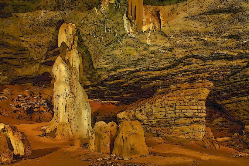
A specific tip for visitors: The park's southern section, particularly around the Pretoriensis and Lower Sabie areas, often offers higher concentrations of wildlife due to the presence of permanent water sources and denser vegetation. A historical oddity is the presence of ancient rock art sites within the park, dating back thousands of years.
Nearby Landmarks
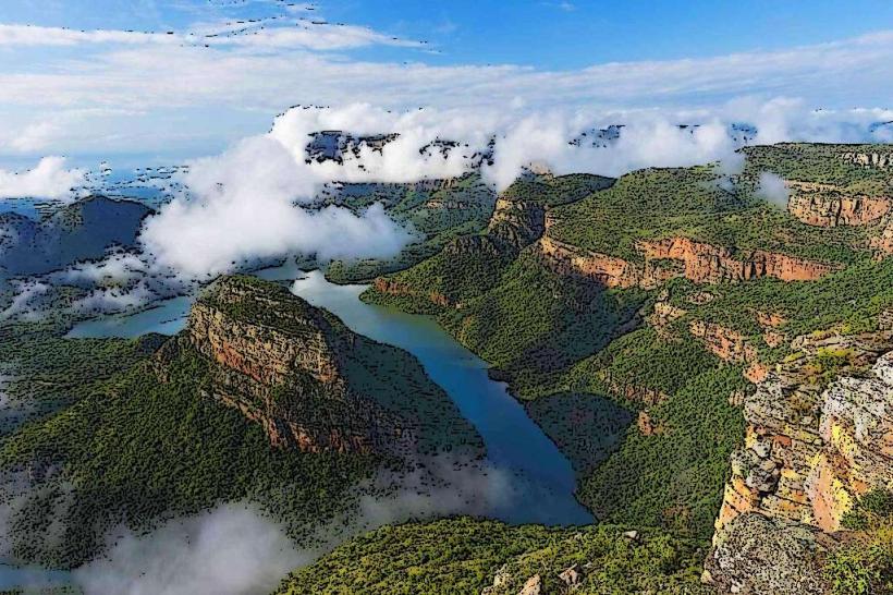
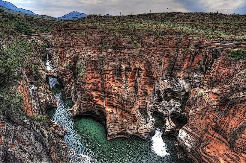
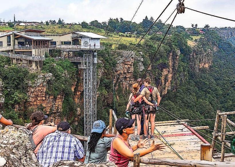
- Blyde River Canyon Nature Reserve (40km Northwest)
- Panorama Route (45km Northwest)
- God's Window (50km Northwest)
- Bourke's Luck Potholes (55km Northwest)
- Three Rondavels (65km Northwest)