Landmark: Sabie River
City: Nelspruit
Country: South Africa
Continent: Africa
Sabie River, Nelspruit, South Africa, Africa
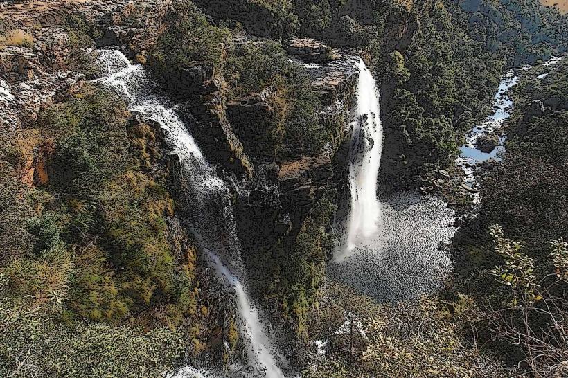
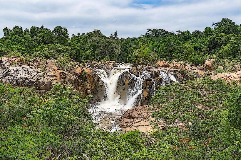
The Sabie River is a significant river system located in the Mpumalanga province of South Africa, flowing through the city of Nelspruit.
It is a primary watercourse in the region, contributing to local ecosystems and human settlements.
Visual Characteristics
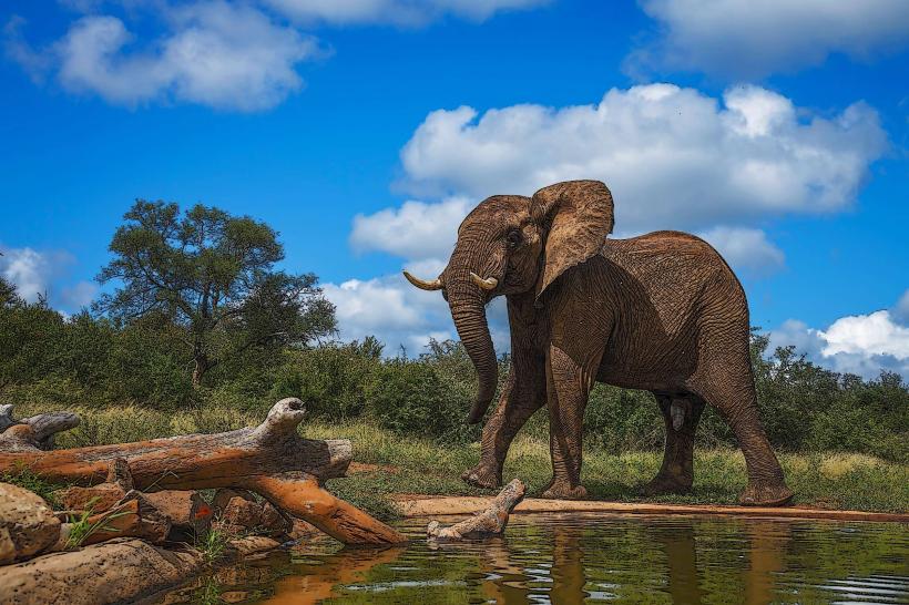
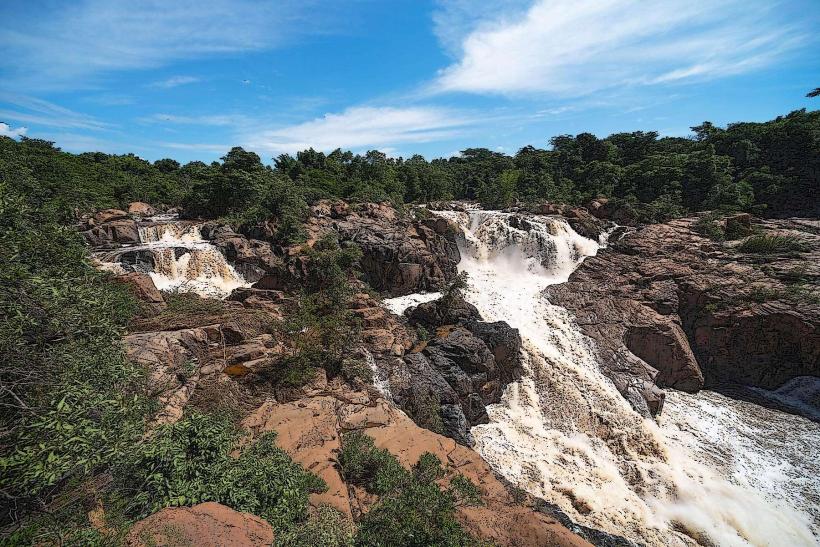
The river's width varies, typically ranging from 10 to 30 meters. Water color is generally brown to reddish-brown due to sediment load, particularly after rainfall. The riverbanks are characterized by dense riparian vegetation, including acacia and marula trees, with exposed rock formations and gravel beds in shallower sections. During dry periods, sandbanks become visible.
Location & Access Logistics
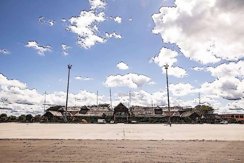
The Sabie River flows directly through Nelspruit. Access points are numerous within the city. The R104 road runs parallel to sections of the river. Parking is available at designated public parks and picnic sites along the river, such as Riverside Park. Public transport within Nelspruit, including local bus services, provides access to areas adjacent to the river.
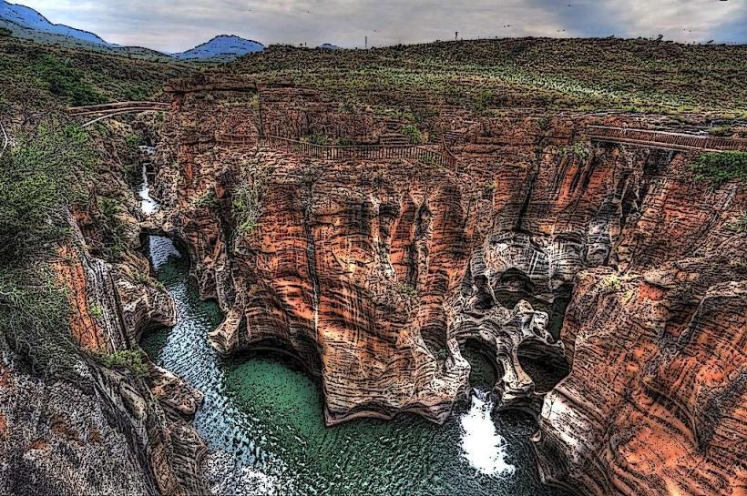
Historical & Ecological Origin
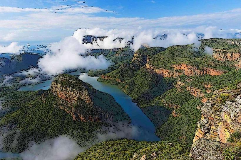
The Sabie River originates in the Drakensberg Mountains and is a major tributary of the Komati River. Its geological origin is primarily erosion of sandstone and basaltic rock formations over millennia. Ecologically, it forms part of the savanna biome, supporting a diverse range of flora and fauna adapted to seasonal rainfall patterns.
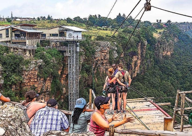
Key Highlights & Activities
Activities include birdwatching along the riverbanks, fishing (subject to local regulations), and picnicking at accessible points. Kayaking and canoeing are possible during periods of sufficient water flow. Hiking trails are present in some upstream and downstream sections outside the immediate urban area.
Infrastructure & Amenities
Within Nelspruit, amenities near the river include public parks with seating, some shaded areas provided by trees, and restroom facilities at larger parks. Cell phone signal (4G/5G) is generally available in urbanized sections. Food vendors are present in some public park areas and at nearby shopping centers.
Best Time to Visit
The best time for photography is early morning or late afternoon when the sun angle is lower, reducing glare on the water. The dry season (May to September) offers more predictable water levels for activities like kayaking. The wet season (October to April) results in higher water levels and more sediment, impacting clarity.
Facts & Legends
The river's name, "Sabie," is derived from the Tsonga word "Xabie," meaning "fear" or "fright," likely due to the presence of crocodiles and hippopotamuses historically inhabiting its waters. A specific tip for visitors is to check local water flow reports before planning water-based activities, as flash floods can occur rapidly during the wet season.
Nearby Landmarks
- Lowveld National Botanical Garden (1.5km West)
- Nelspruit Golf Club (2.0km North-West)
- Mbombela Stadium (4.0km North-East)
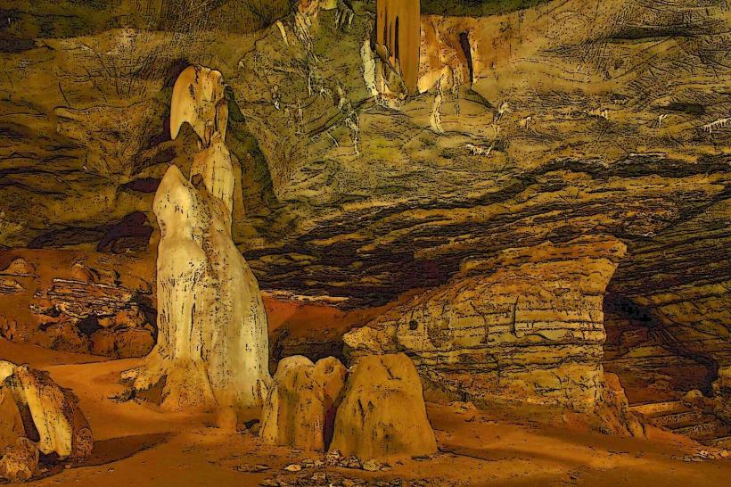
- Sudwala Caves (30km West)