Landmark: Cascade Lakes Scenic Byway
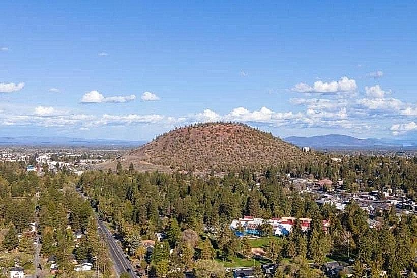
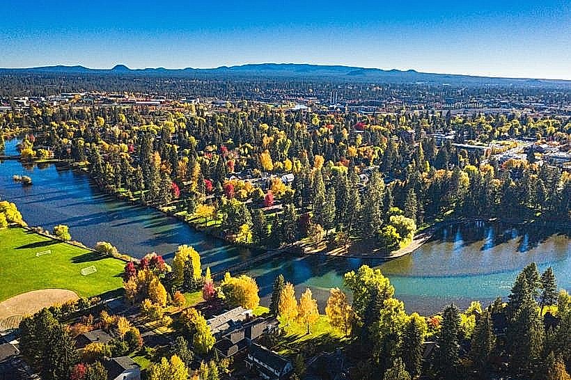
City: Bend
Country: USA Oregon
Continent: North America
Cascade Lakes Scenic Byway, Bend, USA Oregon, North America
The Cascade Lakes Scenic Byway is a 66.5-mile route in Central Oregon that traverses a region characterized by volcanic geology and alpine lakes. It connects Bend, Oregon, to the Deschutes National Forest.
Visual Characteristics
The byway passes through mixed conifer forests, primarily lodgepole pine and ponderosa pine. It offers views of the Cascade Mountain Range, including Mount Bachelor, Broken Top, and the Three Sisters. The lakes along the route, such as Elk Lake, Lava Lake, and Sparks Lake, exhibit varying shades of blue and green, influenced by depth and mineral content. Rock formations are predominantly volcanic, with lava flows visible in several areas.
Location & Access Logistics
The byway begins at the western edge of Bend, Oregon, accessible via Cascade Lakes Highway (County Road 46). It is approximately 10 miles from Bend's city center. Parking is available at designated pull-offs and trailheads; some areas may have fees. Public transport is not available directly on the byway. The route is typically open from late May/early June through October, depending on snow conditions.
Historical & Ecological Origin
The route follows a path shaped by volcanic activity, with the lakes formed by glacial and volcanic processes. The Deschutes National Forest was established in 1908. The byway itself was designated as an All-American Road in 1997, recognizing its scenic and recreational value.
Key Highlights & Activities
Activities include hiking on trails such as the Deschutes River Trail and trails around Sparks Lake. Fishing is permitted in designated lakes and rivers. Boating and kayaking are available on larger lakes like Elk Lake and Lava Lake. Photography opportunities are present at numerous viewpoints, particularly during sunrise and sunset. Wildlife viewing, including deer and various bird species, is possible.
Infrastructure & Amenities
Restrooms are available at several developed recreation sites and trailheads. Shade is provided by the forest canopy in many areas. Cell phone signal is intermittent and generally unreliable along most of the byway. Limited food services are available at resorts on Elk Lake and Lava Lake; visitors should plan to bring their own provisions.
Best Time to Visit
The best months for visiting are July through September for optimal weather and full accessibility. For photography, early morning and late evening offer softer light. High tide is not a relevant factor for this inland route. Snowfall typically closes the byway from October/November until late spring.
Facts & Legends
The area is known for its extensive lava flows, remnants of past volcanic eruptions. A specific geological feature is the Lava River Cave, a lava tube accessible for exploration. Local lore sometimes refers to the area as a place where ancient spirits reside, tied to the volcanic landscape.
Nearby Landmarks
- Mount Bachelor Ski Resort (15km Southwest)
- Lava River Cave (20km Southwest)
- Newberry National Volcanic Monument (25km South)
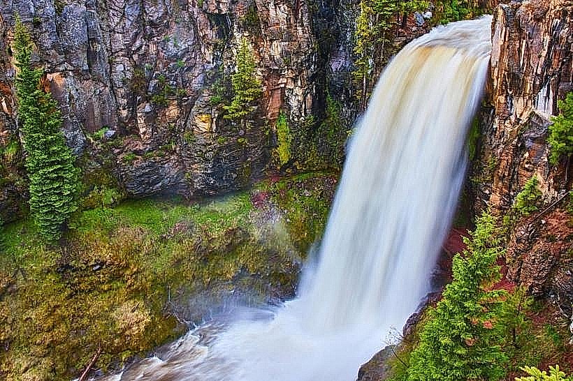
- Tumalo Falls (18km Northwest)
- Smith Rock State Park (40km Northeast)