Landmark: Smith Rock State Park
City: Bend
Country: USA Oregon
Continent: North America
Smith Rock State Park, Bend, USA Oregon, North America
Smith Rock State Park is a geological formation located in Terrebonne, Oregon, approximately 15 kilometers north of Bend.
Visual Characteristics
The park features prominent tuff and basalt cliffs, with vertical faces reaching up to 370 feet (113 meters). The rock formations exhibit shades of orange, red, and brown. The Crooked River flows through the park, with riparian vegetation along its banks.
Location & Access Logistics
Access is via US Route 97 North from Bend. Turn west onto Crooked River Drive (State Route 372) and follow signs for Smith Rock State Park. The park entrance is approximately 3.5 kilometers from US Route 97. A paved parking lot is available at the park entrance. Public transportation options are limited; the nearest bus service is in Redmond, requiring a taxi or ride-share to reach the park.
Historical & Ecological Origin
The rock formations are primarily composed of Oligocene-Miocene tuff and basalt, deposited by ancient volcanic activity and later eroded by the Crooked River. The area has been a significant site for rock climbing since the 1970s.
Key Highlights & Activities
Rock climbing and bouldering are primary activities, with over 1,800 established routes. Hiking trails include the River Trail (flat, 3.7 miles roundtrip) and the Misery Ridge Trail (steep, 3.7 miles loop). Birdwatching is common, particularly for raptors. Photography is popular, especially during sunrise and sunset.
Infrastructure & Amenities
Restrooms are available at the main parking area. Limited shade is present along the River Trail. Cell phone signal (4G) is generally available within the main park area. No food vendors are located within the park; nearest services are in Terrebonne or Redmond.
Best Time to Visit
For climbing and hiking, spring (April-May) and fall (September-October) offer moderate temperatures. Summer (June-August) can be very hot, with daytime temperatures exceeding 90°F (32°C). Sunrise and sunset provide optimal lighting for photography due to the angle of the sun on the rock faces.
Facts & Legends
The park is a designated habitat for peregrine falcons, and climbing closures are in effect during nesting season (typically March 1 to July 15) on specific cliffs. The "Smith Rock" itself is named after the Smith family, early settlers in the area.
Nearby Landmarks
- Crooked River National Grassland (0.5km West)
- Ochoco National Forest (25km East)
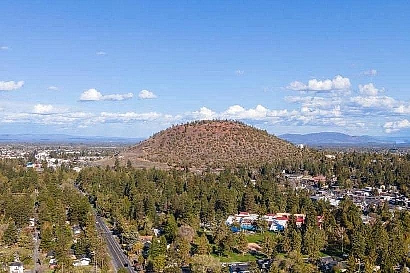
- Pilot Butte State Scenic Viewpoint (18km South)
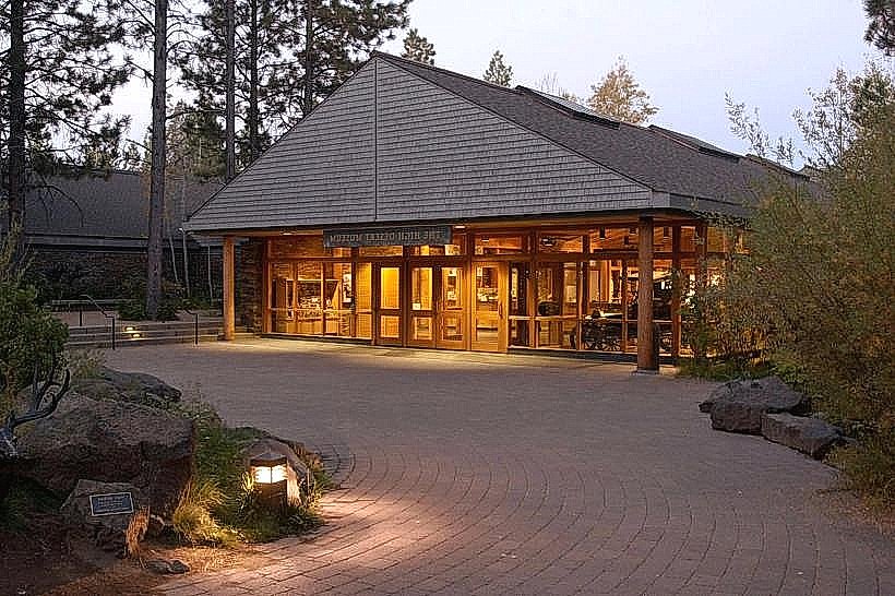
- High Desert Museum (22km South)