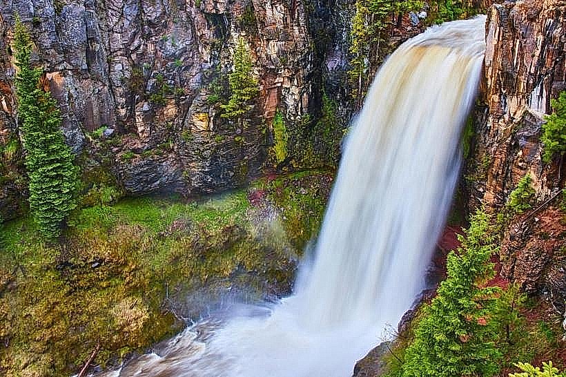
Landmark: Tumalo Falls
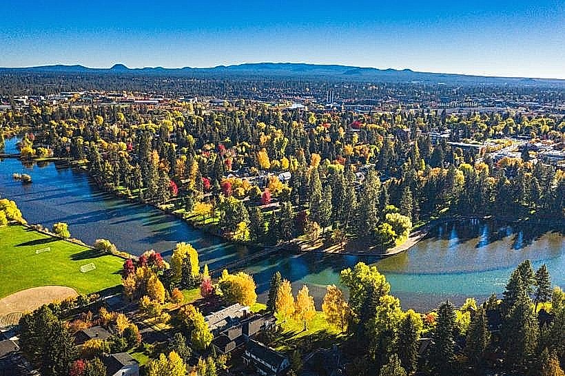
City: Bend
Country: USA Oregon
Continent: North America
Tumalo Falls, Bend, USA Oregon, North America
Tumalo Falls is a waterfall located in the Deschutes National Forest, approximately 17 miles west of Bend, Oregon.
The falls drop 97 feet over a basalt cliff face.
Visual Characteristics
The waterfall descends in a single, vertical plunge over a dark, columnar basalt formation. The water is typically clear, with a white foam at the base. The surrounding canyon walls are composed of layered volcanic rock and are densely vegetated with coniferous trees, primarily Ponderosa pine and Douglas fir. During drier months, moss and lichen are visible on the rock faces.
Location & Access Logistics
Tumalo Falls is accessed via Forest Road 4601 (Tumalo Falls Road), which branches off Highway 20 west of Bend. The paved road extends for approximately 6 miles to the main parking area. Parking is available at the designated lot, with overflow parking often utilized during peak seasons. Public transportation is not available to the falls. The final 0.5 miles to the main viewpoint is a short, paved walk from the parking area.
Historical & Ecological Origin
The falls are a result of the Tumalo Creek carving its path through the volcanic basalt of the Cascade Range. The basalt formations are part of the extensive lava flows that characterize the region. The creek's flow is influenced by snowmelt from the surrounding mountains, contributing to its seasonal variations.
Key Highlights & Activities
Observation of the main waterfall from the viewpoint is the primary activity. Hiking trails are available, including a trail that leads to the top of the falls and continues further into the canyon. Photography is a common activity, particularly during morning and late afternoon hours. Picnicking is permitted in designated areas.
Infrastructure & Amenities
A paved parking area is present. Restrooms are available near the main parking lot. Shade is provided by the surrounding forest canopy. Cell phone signal is generally unreliable within the canyon.
Best Time to Visit
The best time of day for photography is generally during the morning or late afternoon when the sun angle provides better lighting on the falls and canyon. The months of May through October offer the most accessible conditions, with peak water flow often occurring in late spring due to snowmelt. Winter access can be restricted due to snow.
Facts & Legends
Tumalo Creek is a significant water source for the city of Bend. The basalt columns behind the waterfall are a result of slow cooling of lava flows, creating hexagonal or polygonal fractures.
Nearby Landmarks
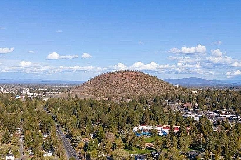
- Pilot Butte State Scenic Viewpoint (14km East)
- Smith Rock State Park (35km Northeast)
- Lava River Cave (30km South)
- Newberry National Volcanic Monument (40km South)