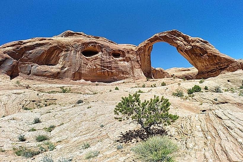
Landmark: Corona Arch
City: Moab
Country: USA Utah
Continent: North America
Corona Arch, Moab, USA Utah, North America
Corona Arch is a large natural sandstone arch located in Grand County, Utah, approximately 10 miles southwest of Moab.
Visual Characteristics
The arch is composed of Entrada Sandstone, exhibiting a warm, reddish-orange hue. It spans approximately 140 feet horizontally and rises about 105 feet vertically. The formation is a natural bridge, carved by erosion.
Location & Access Logistics
Access is via State Route 279 (Potash Road) from Moab. Turn off SR-279 onto the unsigned dirt road approximately 10 miles from Moab, marked by a small pull-off. The trailhead is at the end of this short dirt road. Parking is limited to a small gravel lot. No public transport serves this location.
Historical & Ecological Origin
Corona Arch is a product of natural geological processes, specifically the erosion of sandstone by water and wind over millennia. It is classified as a natural bridge formation.
Key Highlights & Activities
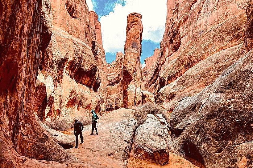
Hiking to the arch is the primary activity. The trail is approximately 3 miles roundtrip. Visitors can walk directly under the arch. A short spur trail leads to Bowtie Arch.
Infrastructure & Amenities
There are no facilities at the trailhead or along the trail. Restrooms are not available. Shade is minimal along the hiking path. Cell phone signal is unreliable.
Best Time to Visit
For photography, early morning or late afternoon provides optimal lighting on the arch. The best months for hiking are March through May and September through October, avoiding the extreme summer heat. No tide considerations apply.
Facts & Legends
A unique feature of the trail is a section where visitors can rappel down a short cliff face using fixed ropes, though this requires appropriate gear and experience. The arch was once known as Little Rainbow Bridge.
Nearby Landmarks
- 5km Northeast: Fisher Towers (Natural sandstone towers)
- 7km Northeast: Colorado River (River access points)
- 8km Northeast: Dewey Bridge (Historic wooden bridge remnant)
- 12km Northeast: Arches National Park Entrance (Park entrance)