Landmark: Dead Horse Point State Park
City: Moab
Country: USA Utah
Continent: North America
Dead Horse Point State Park, Moab, USA Utah, North America
Dead Horse Point State Park is a protected area located near Moab, Utah, USA. It is known for its dramatic canyon overlooks and geological formations.
Visual Characteristics
The park features a prominent peninsula of rock that juts out into the Colorado River, creating a horseshoe-shaped bend known as the Goosenecks. The canyon walls are composed of Entrada Sandstone, displaying layers of red, orange, and tan hues. Vegetation is sparse, consisting primarily of desert shrubs, juniper trees, and pinyon pines. The Colorado River below appears as a ribbon of brown water.
Location & Access Logistics
The park entrance is located 32 miles southwest of Moab, Utah, via State Route 313. The drive from Moab takes approximately 45 minutes. Paved roads lead to the main overlooks and visitor center. Ample parking is available at designated lots. No public transport services the park directly.
Historical & Ecological Origin
The geological formation of Dead Horse Point is a result of millions of years of erosion by the Colorado River and its tributaries, carving deep canyons into the Colorado Plateau. The park's name originates from a local legend about a group of wild horses trapped on the peninsula by outlaws, who died of thirst. The area is part of the Colorado River ecosystem, characterized by arid desert conditions.
Key Highlights & Activities
Visitors can observe the Goosenecks overlook from the main viewpoint. Hiking is permitted on designated trails, including the West Rim Trail (5.5 miles one-way) and the East Rim Trail (4 miles one-way). Bicycling is allowed on specific routes. Photography is a primary activity, particularly at sunrise and sunset.
Infrastructure & Amenities
Restrooms are available at the visitor center and main overlook areas. Shaded picnic tables are provided. Cell phone signal is intermittent within the park, with 4G coverage generally limited to the visitor center vicinity. No food vendors operate within the park; visitors should bring their own supplies.
Best Time to Visit
For photography, sunrise and sunset offer optimal lighting conditions for the canyon landscapes. The best months for comfortable weather are April, May, September, and October, avoiding the extreme heat of summer. No tide-specific considerations apply.
Facts & Legends
A specific geological feature visible from the main overlook is the "Dead Horse Point," a narrow strip of land connecting the peninsula to the mesa. The park's elevation ranges from approximately 5,400 to 6,200 feet above sea level.
Nearby Landmarks
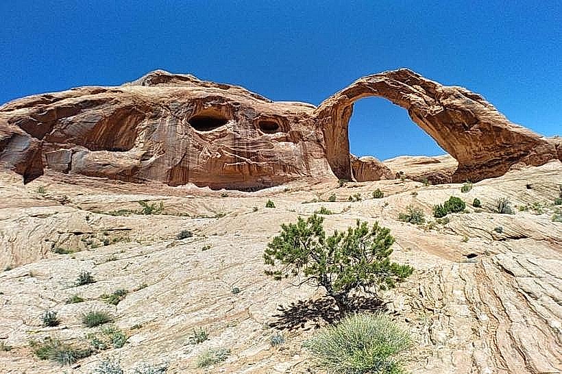
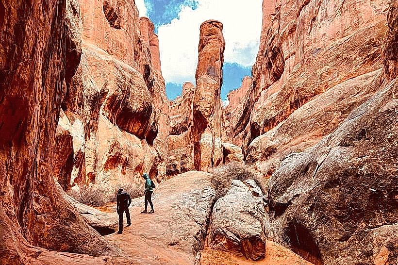
- Arches National Park (25km Northeast)
- Canyonlands National Park - Island in the Sky District (30km Southwest)
- Fisher Towers (15km Southeast)
- Newspaper Rock State Historical Monument (40km South)