Landmark: Fort Frederick Heritage Preserve
City: Beaufort
Country: USA South Carolina
Continent: North America
Fort Frederick Heritage Preserve, Beaufort, USA South Carolina, North America
Fort Frederick Heritage Preserve is a historic fortification located in Beaufort, South Carolina.
This site preserves remnants of a colonial-era fort and its surrounding natural environment.
Visual Characteristics
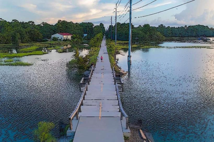
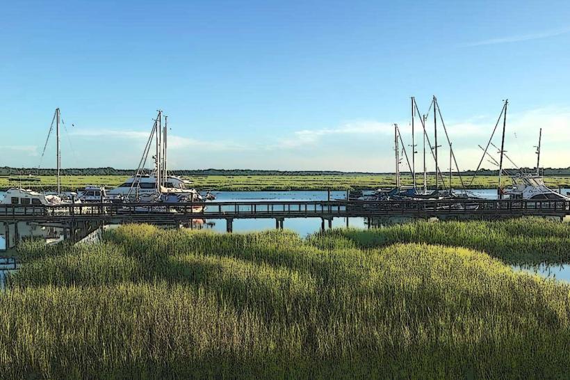
The preserve features earthwork ramparts constructed from soil and sand. Remnants of brick foundations are visible in some areas. The landscape is characterized by coastal marshland, tidal creeks, and mature live oak trees draped with Spanish moss. The primary structures are low-lying earthen mounds and scattered brickwork.
Location & Access Logistics
Fort Frederick Heritage Preserve is situated on St. Helena Island, approximately 15 kilometers (9 miles) southeast of downtown Beaufort. Access is via South Carolina Highway 21 South, turning onto Sea Island Parkway. The preserve is located on the right side of the road. Parking is available in a designated gravel lot at the entrance. No public transport directly serves the preserve; private vehicle is required.
Historical & Ecological Origin
The fort's construction began in 1731 under the direction of Governor Robert Johnson, intended as a defensive outpost against Spanish incursions from Florida and to protect the burgeoning colonial settlements. It was designed as a star fort, though much of its original brick structure has eroded or been dismantled over time. The preserve's ecological origin is coastal plain estuary, shaped by tidal forces and sediment deposition.
Key Highlights & Activities
Visitors can walk along the remaining earthwork ramparts. Archaeological remnants of the fort's foundation are observable. The site offers opportunities for birdwatching and observing coastal flora and fauna. Interpretive signage details the fort's history and the local ecosystem. Access to the adjacent marsh and creek is possible via designated paths.
Infrastructure & Amenities
Restrooms are available at the preserve entrance. Limited shade is provided by the natural tree canopy. Cell phone signal (4G) is generally available. No food vendors are present within the preserve; visitors should bring provisions.
Best Time to Visit
For optimal lighting for photography of the earthworks and surrounding landscape, early morning or late afternoon is recommended. The best months for comfortable outdoor exploration are April through June and September through November, avoiding the peak summer heat and humidity. Tidal charts should be consulted if exploring near the creek edges.
Facts & Legends
A specific historical oddity is the fort's strategic placement, designed to control access to the Beaufort River. During the Civil War, the fort was occupied by Union forces, who utilized its strategic position. Local lore sometimes speaks of spectral sentinels guarding the old ramparts, though these are unsubstantiated.
Nearby Landmarks
- Beaufort History Museum (12km Northwest)
- Old Sheldon Church Ruins (18km North)
- Parris Island Museum (22km Southwest)
- Hunting Island State Park (25km Southeast)