Landmark: Historic Beaufort District
City: Beaufort
Country: USA South Carolina
Continent: North America
Historic Beaufort District, Beaufort, USA South Carolina, North America
The Historic Beaufort District is a preserved urban area located in Beaufort, South Carolina, USA. It encompasses a significant portion of the city's original settlement and antebellum architecture.
Visual Characteristics
The district features a concentration of antebellum homes constructed primarily from brick and wood. Exterior colors range from white and cream to pastel shades. Many residences exhibit Greek Revival and Italianate architectural styles, characterized by large columns, wide porches, and intricate detailing. Mature live oak trees draped with Spanish moss line the streets, providing significant canopy cover.
Location & Access Logistics
The Historic Beaufort District is situated on Port Royal Island, approximately 1.5km South of the Beaufort city center. Access is via US-21 (Ribaut Road) which becomes Boundary Street upon entering the city. Parking is available in designated public lots, including the Beaufort City Hall parking garage at 1001 King Street, and metered street parking is present along Bay Street and adjacent streets. Public transport options are limited; the Lowcountry Regional Transit Authority (LRTA) operates bus routes that serve the periphery of the district, with stops on Boundary Street.
Historical & Ecological Origin
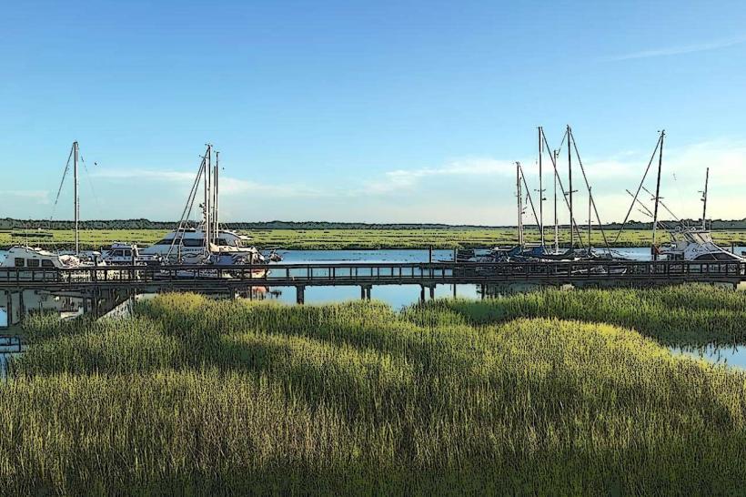
Established in 1711, Beaufort is the second oldest city in South Carolina. The district's development was driven by its strategic port location and the wealth generated from cotton plantations. The architecture reflects the prosperity of the 18th and 19th centuries. Ecologically, the area is a coastal plain environment, characterized by tidal marshes and proximity to the Beaufort River.
Key Highlights & Activities
Walking tours focusing on architectural history are available. Self-guided exploration of the streets is permitted. Boat tours departing from the Beaufort Waterfront Park offer views of the district from the river. Photography of the historic homes and streetscapes is a common activity.
Infrastructure & Amenities
Restrooms are available at the Beaufort Waterfront Park and within some public buildings. Shade is provided by mature trees along many streets. Cell phone signal (4G/5G) is generally consistent throughout the district. Food vendors and restaurants are concentrated along Bay Street and Carteret Street.
Best Time to Visit
For photography, early morning (7:00 AM - 9:00 AM) and late afternoon (4:00 PM - 6:00 PM) offer optimal lighting conditions with softer shadows. The months of April, May, October, and November provide the most temperate weather, with average temperatures ranging from 18°C to 27°C. High tide is not a critical factor for district access, but it enhances the visual appeal of the waterfront areas.
Facts & Legends
A notable historical fact is that the district was largely spared from significant destruction during the Civil War due to its occupation by Union forces early in the conflict. A local legend suggests that some of the older homes are haunted by former residents, with specific accounts of spectral activity reported in the Barnwell House.
Nearby Landmarks
- Beaufort National Cemetery (1.2km Southwest)
- The Henry C. Chambers Waterfront Park (0.3km South)
- The Kazoo Museum (0.8km Northwest)
- Old Sheldon Church Ruins (22km Northwest)
- Parris Island Museum (8km Southwest)