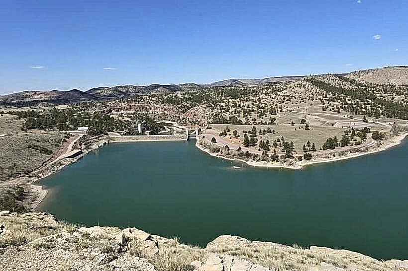
Landmark: Grayrocks Reservoir
City: Wheatland
Country: USA Wyoming
Continent: North America
Grayrocks Reservoir, Wheatland, USA Wyoming, North America
Grayrocks Reservoir is a man-made lake located in Albany County, Wyoming, near the city of Wheatland.
It serves as a significant water storage facility for agricultural and municipal use in the region.
Visual Characteristics
The reservoir's water color varies from a murky brown to a deep blue depending on sediment levels and light conditions. The shoreline is predominantly composed of dry, rocky terrain with sparse, low-lying vegetation. The dam structure is a concrete and earth-fill embankment.
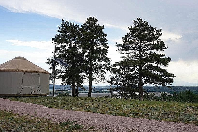
Location & Access Logistics
Grayrocks Reservoir is situated approximately 16 kilometers (10 miles) southwest of Wheatland, Wyoming. Access is via Wyoming Highway 34, turning onto County Road 21 (also known as Reservoir Road). The road leading to the reservoir is unpaved in sections. Parking is available at designated pull-offs and a boat launch area. No public transport services operate directly to the reservoir.
Historical & Ecological Origin
Construction of the Grayrocks Dam and Reservoir was completed in 1981. The project was developed by the Bureau of Reclamation to provide irrigation water for the Wheatland Irrigation District and for municipal water supply. Ecologically, it is an artificial impoundment on the Laramie River.
Key Highlights & Activities
Boating and fishing are primary activities. The reservoir supports populations of walleye, trout, and perch. Shoreline access for fishing is available, though limited in some areas due to terrain. No specific hiking trails are maintained within the immediate reservoir area.
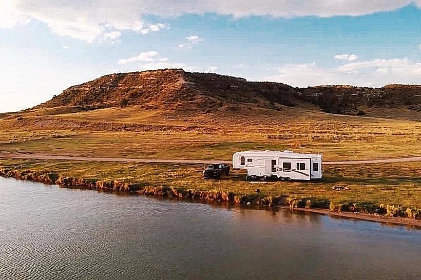
Infrastructure & Amenities
A boat launch ramp is present. Restroom facilities are minimal and may not be consistently maintained. Shade is scarce, consisting only of natural rock overhangs in limited locations. Cell phone signal is unreliable to non-existent within the reservoir vicinity.
Best Time to Visit
For fishing, the spring and fall months offer optimal conditions. Mid-morning to late afternoon provides the best natural light for general observation. Water levels can fluctuate significantly based on irrigation demands, impacting shoreline access.
Facts & Legends
The reservoir's construction displaced a small, unincorporated community. A unique aspect is the presence of a large concrete spillway designed to handle extreme flood events, a testament to the engineering scale of the project.
Nearby Landmarks
- Wheatland Reservoir No. 1 (2.5km Northeast)
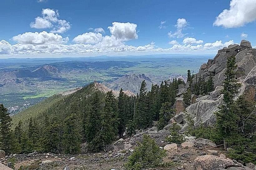
- Laramie Peak (approx. 30km West)
- Curt Gowdy State Park (approx. 60km Southwest)
- Vedauwoo Recreation Area (approx. 70km Southwest)