Landmark: Laramie Peak
City: Wheatland
Country: USA Wyoming
Continent: North America
Laramie Peak, Wheatland, USA Wyoming, North America
Laramie Peak is a prominent mountain located in the Laramie Mountains range, west of Wheatland, Wyoming.
This geological feature serves as a significant landmark within the high plains and mountain environment of southeastern Wyoming.
Visual Characteristics
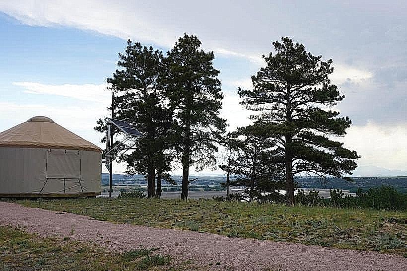
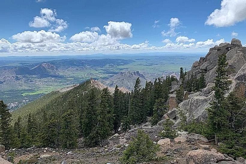
Laramie Peak presents a rugged, granite-based massif with steep, rocky slopes. Its summit reaches an elevation of 10,897 feet (3,321 meters). The vegetation cover varies with elevation, transitioning from sagebrush and grasses at lower altitudes to coniferous forests (primarily pine and fir) on its upper reaches. Snowpack is typically present on the summit and higher slopes from late autumn through early spring.
Location & Access Logistics
Laramie Peak is situated approximately 25 miles west of Wheatland, Wyoming. Access is primarily via Wyoming Highway 34 (WYO 34) west from Wheatland. The highway leads to Forest Service roads that provide access to trailheads and viewpoints. The final approach to the summit involves hiking trails. Parking is available at designated trailheads along the Forest Service roads, with capacity varying by location. No public transport services operate directly to Laramie Peak.
Historical & Ecological Origin
Laramie Peak is a product of the Laramie Orogeny, a mountain-building event that occurred during the Late Cretaceous and Paleogene periods. The exposed rock formations are primarily Precambrian granite and metamorphic rocks, uplifted and eroded over millions of years. Ecologically, it represents a transition zone between the high plains and the Rocky Mountains, supporting diverse flora and fauna adapted to arid and alpine conditions.
Key Highlights & Activities
Hiking to the summit is a primary activity, offering panoramic views of the surrounding plains and mountains. Several established hiking trails exist, with varying difficulty levels. Wildlife observation, including elk, deer, and various bird species, is possible. Photography opportunities are available, particularly during sunrise and sunset. Rock climbing is also practiced on specific formations.
Infrastructure & Amenities
Basic infrastructure is limited. Designated primitive campgrounds and picnic areas are present along Forest Service roads. Restrooms are typically found at larger trailhead areas. Cell phone signal is intermittent and generally unavailable at higher elevations or remote trail sections. No food vendors are located directly at Laramie Peak; provisions should be carried from Wheatland.
Best Time to Visit
The optimal period for visiting Laramie Peak is from late June through September, when snow has largely receded from hiking trails and weather conditions are most favorable. Mid-morning to late afternoon offers the best natural light for general observation. For photography, early morning and late evening provide directional lighting. High tide is not applicable to this mountain landmark.
Facts & Legends
Laramie Peak was a significant landmark for emigrants traveling the Oregon Trail and Overland Trail. Its distinctive shape made it a navigational point. A local legend suggests that the peak is named after a French fur trapper named Jacques La Ramie, though historical records are inconclusive regarding his exact fate or connection to the peak.
Nearby Landmarks
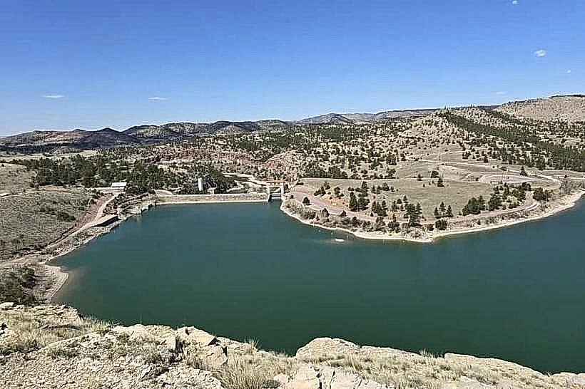
- Curt Gowdy State Park (15km Southeast)
- Vedauwoo Recreation Area (20km East)
- Medicine Bow National Forest (Extensive area surrounding the peak)
- Douglas, Wyoming (45km Northeast)