Landmark: Wheatland Reservoirs
City: Wheatland
Country: USA Wyoming
Continent: North America
Wheatland Reservoirs, Wheatland, USA Wyoming, North America
Wheatland Reservoirs are a series of man-made water storage facilities located near Wheatland, Wyoming. These reservoirs serve primarily for agricultural irrigation and municipal water supply.
Visual Characteristics
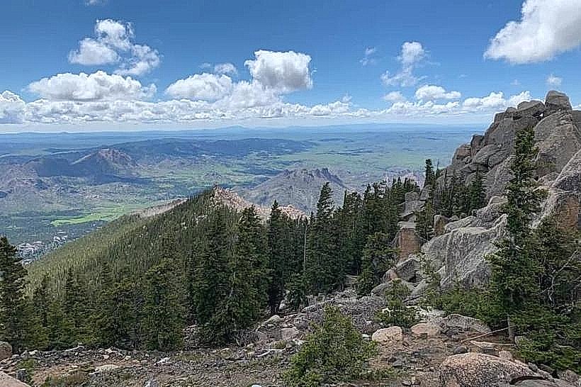
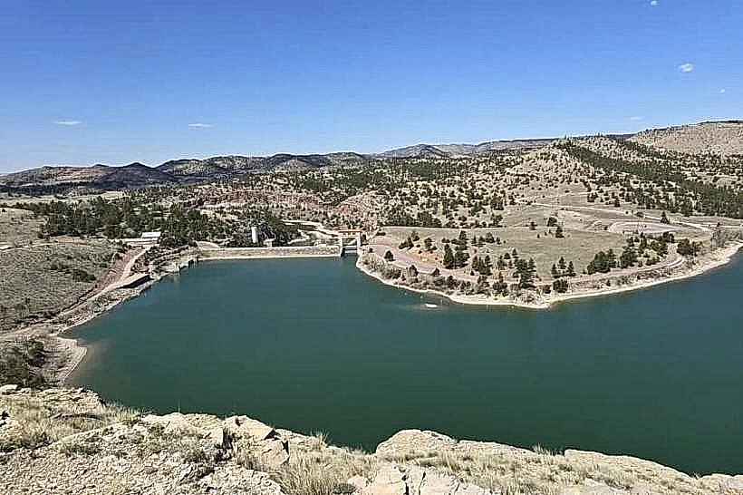
The reservoirs present as large bodies of open water with irregular shorelines. The water color varies from a deep blue to a murky brown depending on sediment load and depth. The surrounding terrain is predominantly arid grassland with sparse vegetation, characterized by low-lying shrubs and grasses. The reservoir banks are generally composed of exposed soil and rock.
Location & Access Logistics
Wheatland Reservoirs are situated approximately 8 kilometers (5 miles) west of the town of Wheatland, Wyoming. Access is via Wyoming Highway 34 (WYO 34) west from Wheatland. Turn north onto Reservoir Road, a gravel surface road, which provides access to the reservoir areas. Parking is available at designated pull-off points along Reservoir Road and at some shoreline access areas. No public transport services operate directly to the reservoirs.
Historical & Ecological Origin
Construction of the Wheatland Reservoirs began in the early 20th century as part of the Wheatland Irrigation Project. The project aimed to harness water from the Laramie River for agricultural development in the arid plains. The reservoirs are artificial impoundments created by earthen dams.
Key Highlights & Activities
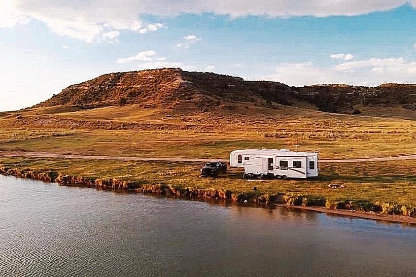
Activities include fishing for species such as rainbow trout and walleye. Boating, including kayaking and small motorboats, is permitted. Birdwatching is also a common activity due to the presence of waterfowl and migratory birds. Shoreline access allows for picnicking and observation.
Infrastructure & Amenities
Basic amenities are limited. Some areas may have rudimentary picnic tables. Restrooms are not consistently available. Cell phone signal strength is variable and often weak. No food vendors are located directly at the reservoirs; provisions should be brought from Wheatland.
Best Time to Visit
For fishing and boating, the months of May through September offer the most favorable conditions. Early morning and late evening provide optimal lighting for photography. Water levels can fluctuate significantly based on irrigation demand and seasonal precipitation.
Facts & Legends
A specific local point of interest is the "Old Dam," a remnant of an earlier, smaller impoundment structure that predates the current reservoir system. It is located upstream of the main reservoir complex and is accessible via a short hike from Reservoir Road.
Nearby Landmarks
- 0.5km East: Wheatland town center
- 3km Southeast: Laramie River
- 10km Southwest: Glendo State Park (southern boundary)
- 15km Northwest: Chugwater Creek