Landmark: Sycamore Creek Trail
City: Wheatland
Country: USA Wyoming
Continent: North America
Sycamore Creek Trail, Wheatland, USA Wyoming, North America
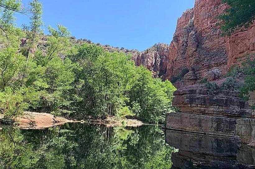
Sycamore Creek Trail is a 1.5-mile loop trail located within Wheatland, Wyoming. It offers a moderate hiking experience through a riparian environment.
Visual Characteristics
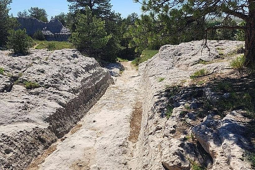
The trail traverses a narrow canyon with steep, eroded sandstone walls. The creek bed is characterized by smooth, water-worn rocks and occasional gravel bars. Vegetation consists primarily of cottonwood trees (Populus fremontii) lining the creek, with scattered sagebrush (Artemisia tridentata) and various grasses on the drier slopes. The creek water color varies from clear to a light brown depending on recent rainfall.
Location & Access Logistics
The trailhead is situated at the end of Sycamore Creek Road, approximately 3 miles west of Wheatland's city center. Access is via US Highway 26 West, turning north onto Sycamore Creek Road. The road is unpaved for the final 1.5 miles and may be impassable for low-clearance vehicles after heavy rain. A small, unimproved parking area is available at the trailhead. No public transport services this location.
Historical & Ecological Origin
Sycamore Creek is a perennial stream fed by groundwater springs and surface runoff from the surrounding Laramie Mountains foothills. The canyon was carved by fluvial erosion over thousands of years. The area has historically served as a water source and wildlife corridor. The trail itself was established by local land management agencies in the late 20th century.
Key Highlights & Activities
Hiking the full 1.5-mile loop is the primary activity. Birdwatching is possible, particularly for species that inhabit riparian zones. Photography of the canyon formations and cottonwood trees is recommended. Wading in the creek is possible during low-flow periods, but caution is advised due to slippery rocks.
Infrastructure & Amenities
No restrooms or developed facilities are present at the trailhead or along the trail. Shade is limited to the areas directly beneath the cottonwood trees. Cell phone signal is unreliable to non-existent within the canyon.
Best Time to Visit
For photography, early morning or late afternoon light provides the best illumination of the canyon walls. The months of May through October offer the most favorable weather conditions for hiking. Creek flow is generally lowest in late summer.
Facts & Legends
Local folklore suggests that the creek was once used by Native American tribes for medicinal purposes, though specific verifiable accounts are scarce. The dense cottonwood canopy creates a microclimate that supports plant and animal life distinct from the surrounding high plains environment.
Nearby Landmarks
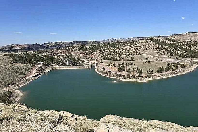
- Wheatland Reservoir No. 2 (2.1km Southwest)
- Platte County Historical Society Museum (3.5km Northeast)
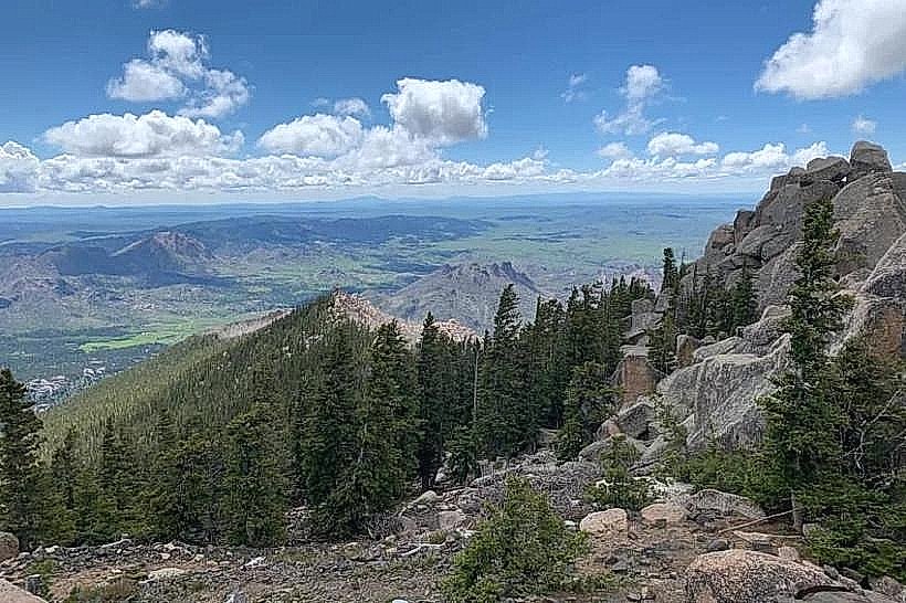
- Laramie Peak State Wildlife Area (18km West)