Landmark: Wheatland Irrigation Canal System
City: Wheatland
Country: USA Wyoming
Continent: North America
Wheatland Irrigation Canal System, Wheatland, USA Wyoming, North America
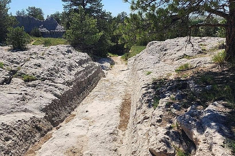
The Wheatland Irrigation Canal System is a network of water channels located in and around Wheatland, Wyoming, USA. It serves as a critical component of agricultural operations in the region.
Visual Characteristics
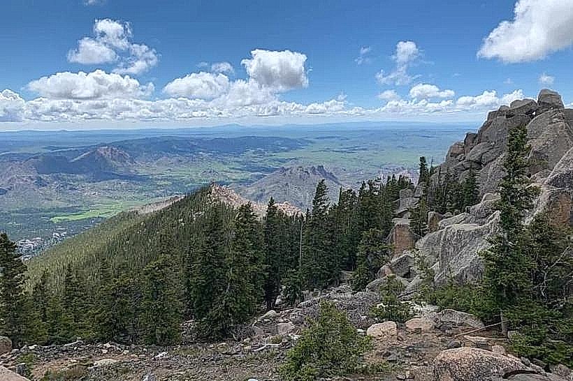
The system comprises earthen canals, concrete-lined channels, and associated diversion structures. Water color varies based on sediment load but is generally a murky brown. The surrounding landscape is predominantly arid grassland with sparse vegetation.
Location & Access Logistics
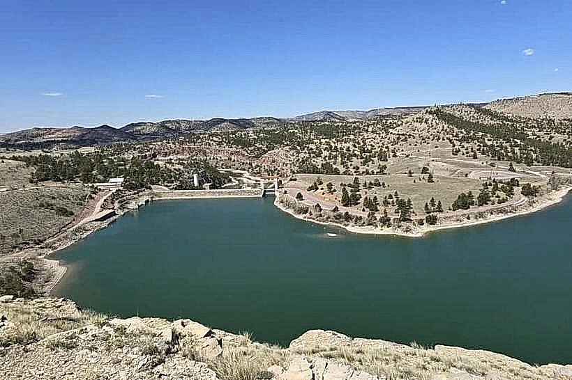
The main canal originates near the North Platte River, approximately 10 kilometers west of Wheatland. Access points are primarily via county roads branching off US Highway 87. Several access roads are unpaved and may be impassable in wet conditions. Parking is informal and available at designated turnouts along the canal banks. No public transport services the canal system directly.
Historical & Ecological Origin
Construction of the Wheatland Irrigation Canal System began in the late 19th century, with significant expansion occurring in the early 20th century. Its purpose was to divert water from the North Platte River for agricultural irrigation in the arid plains of southeastern Wyoming. The system is an example of early 20th-century water management infrastructure.
Key Highlights & Activities
Observation of water flow dynamics is possible from various points. Angling for species such as trout and perch is permitted in designated sections, subject to Wyoming Game and Fish regulations. Walking or cycling along the canal banks is feasible on sections with established trails.
Infrastructure & Amenities
Restrooms are not available along the canal system. Shade is minimal, provided only by natural vegetation in limited areas. Cell phone signal (4G/5G) is intermittent and unreliable in most locations. No food vendors are present directly at the canal.
Best Time to Visit
For photography, early morning or late afternoon light offers optimal illumination of the water and landscape. The irrigation season typically runs from April through October, with peak water flow generally occurring between May and July. No tide considerations apply.
Facts & Legends
A local anecdote suggests that early settlers believed the canal's construction was aided by a benevolent spirit who guided the water's path. A verified historical fact is that the system's development was instrumental in transforming the region from open range to productive farmland.
Nearby Landmarks
- Glendo State Park (25km Northeast)
- Wyoming State Museum (90km South)
- Curt Gowdy State Park (110km Southwest)
- Vedauwoo Recreation Area (100km Southwest)