Landmark: Guernsey Ruts
City: Wheatland
Country: USA Wyoming
Continent: North America
Guernsey Ruts, Wheatland, USA Wyoming, North America
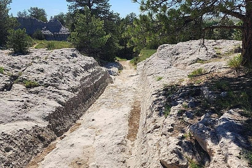
The Guernsey Ruts are a series of wagon ruts carved into sandstone formations located near Guernsey, Wyoming, USA.
Visual Characteristics
The ruts are depressions in the sandstone, varying in depth from a few inches to over two feet. They are approximately 10-12 inches wide and run parallel to each other in many sections. The sandstone exhibits a light brown to reddish-brown coloration, with visible layers indicating sedimentary deposition. The surrounding terrain is semi-arid prairie with sparse vegetation.
Location & Access Logistics
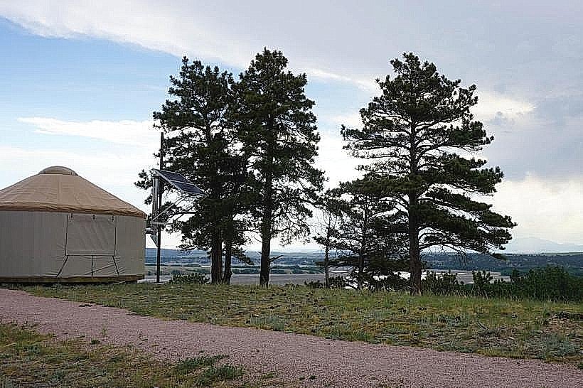
The Guernsey Ruts are situated approximately 3 miles west of Guernsey, Wyoming. Access is via Wyoming Highway 26. Turn north onto an unpaved, well-maintained county road (County Road 101, also known as Register Cliff Road). Follow this road for approximately 2 miles. Parking is available at designated pull-offs adjacent to the ruts. No public transport services this location.
Historical & Ecological Origin
These ruts were created by the wheels of thousands of emigrant wagons traveling the Oregon, California, and Mormon Trails between the 1840s and 1860s. The sandstone is part of the Casper Formation, dating back to the Pennsylvanian period, approximately 300 million years ago.
Key Highlights & Activities
Visitors can walk alongside the ruts to observe their depth and width. Interpretive signage provides historical context. Photography of the ruts and the surrounding landscape is a primary activity. The site is accessible for walking and exploration.
Infrastructure & Amenities
There are no permanent structures or amenities at the Guernsey Ruts site. Restrooms are not available. Shade is minimal, provided only by natural rock overhangs in limited areas. Cell phone signal (4G/5G) is generally weak to non-existent.
Best Time to Visit
The best time of day for photography is during the early morning or late afternoon when the low-angle sun creates shadows that emphasize the depth of the ruts. The best months for visiting are May through October, avoiding winter snow and ice. There are no tidal considerations.
Facts & Legends
A specific historical detail is that the ruts are particularly deep and well-preserved in this location due to the hardness of the sandstone, which resisted erosion more effectively than other trail segments. Some accounts suggest that the sheer volume of wagons passing through this narrow pass created a "bottleneck" effect, leading to the concentrated formation of these deep ruts.
Nearby Landmarks
- Register Cliff (0.5km North): Site with historical emigrant graffiti carved into sandstone.
- Guernsey State Park (4km East): Offers camping, hiking, and historical structures.
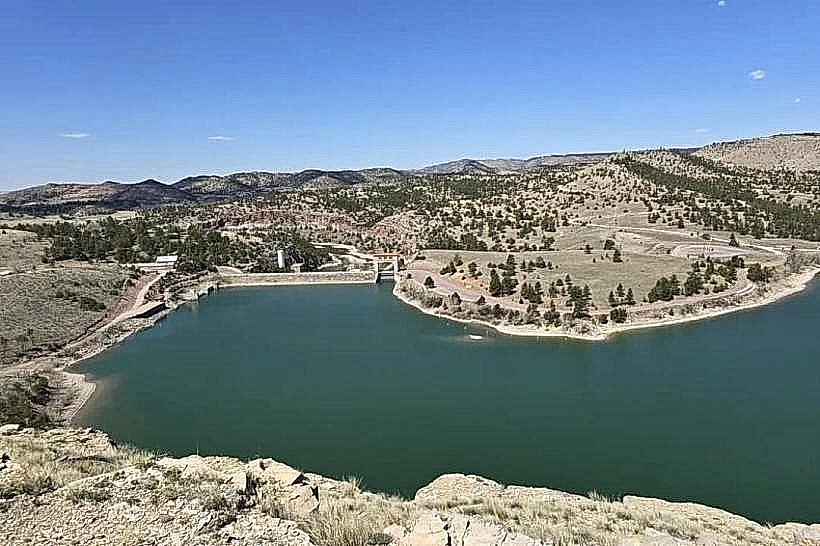
- Guernsey Reservoir (5km East): A large body of water for recreational activities.
- Fort Laramie National Historic Site (20km Southwest): A significant 19th-century military post.