Landmark: Great Mosque of Akkar
City: Akkar
Country: Lebanon
Continent: Asia
Great Mosque of Akkar, Akkar, Lebanon, Asia
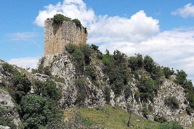
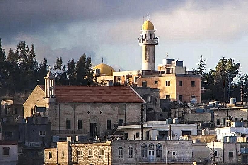
The Great Mosque of Akkar, also documented as the Qalaoun Mosque or the Mosque of Sultan Al-Zahir Baybars, is a historic early Mamluk religious structure located within the mountain village of Akkar al-Atiqa in the Akkar Governorate of Northern Lebanon. Positioned near the base of the medieval Gibelacar fortress, the site represents one of the oldest preserved examples of Islamic congregational architecture in the Akkar highlands.
Visual Characteristics
The mosque exhibits an austere, fort-like exterior built primarily from thick blocks of locally quarried dark basalt and grey limestone masonry. The architectural layout features a low-profile hypostyle prayer hall supported by thick stone piers and crossed by heavy pointed arches. The interior spaces are small and dimly lit, with narrow, high-placed windows designed to withstand harsh alpine winters. The minaret is a short, sturdy square stone tower that barely rises above the roofline, reflecting the defensive and functional rural Mamluk engineering styles of the late 13th century.
Location & Access Logistics
The site is positioned approximately 135 kilometers north of Beirut and 40 kilometers northeast of the regional district capital of Halba. Access from Tripoli follows the northern coastal highway to Abdeh, turning inland through Halba onto the steep, winding mountain roads leading to Akkar al-Atiqa. Vehicles can park on the unpaved gravel shoulders near the historic town center. Public transportation options are limited to regional minibuses running from Tripoli to Halba, from which visitors must secure a private taxi to reach the mountain village.
Historical & Ecological Origin
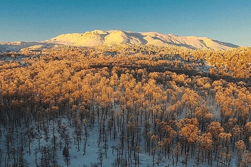
The foundation of the mosque is tied to the Mamluk campaigns of the late 13th century. Following the capture of the adjacent Gibelacar fortress from Crusader forces in 1271 by Sultan Al-Zahir Baybars, the area was integrated into the Mamluk state under the authority of Sultan Mansur Qalawun. The mosque was commissioned to serve the newly established Muslim garrison and administrative settlement. Geologically, the structure sits within a rugged volcanic and limestone river valley at the northern terminus of the Mount Lebanon range, an ecosystem characterized by dense oak forests and heavy seasonal snowfall.
Key Highlights & Activities
Inspecting the structural combination of dark basalt and grey limestone masonry on the external walls.
Examining the architectural layout of the low, vaulted hypostyle prayer hall and historic stone piers.
Surveying the surviving Mamluk-era foundation inscriptions and geometric accents around the primary entrance.
Observing the adjacent historical ruins of the Tekkiyat Akkar el-Atiqa assembly lodge located nearby.
Infrastructure & Amenities
The mosque is an active place of worship maintained by the local community and the Lebanese Department of Islamic Awqaf. The site features baseline utility services and basic public prayer spaces, but lacks dedicated tourism infrastructure such as visitor reception centers, formal ticketing booths, or translation plaques. Public restrooms are located inside the adjoining prayer facilities. Due to the high-altitude mountain topography, cellular signal is variable, providing basic 3G and localized 4G network coverage. Commercial services, including small family-owned grocery stores and bakeries, are operational in the village center within a 500-meter walk.
Best Time to Visit
The optimal period for visiting is from April to November when the regional mountain roads are entirely clear of winter snowpack and mud. Field observation and photography are most effective during the mid-morning hours between 09:30 and 11:30, maximizing the penetration of sunlight through the narrow window slits to illuminate the interior stone surfaces without creating extreme shadows on the external facades.
Facts & Legends
Local historical documentation records that during the late 16th century, the mosque was used as a central gathering point by the powerful Kurdish feudal chieftains of the Banu Sayfa clan, who utilized the fortified village as an unassailable mountain base during their regional rivalries with the Druze Emir Fakhreddine II. Local oral history maintains that a network of subterranean storage chambers beneath the main prayer floor was used to stockpile grain and fresh water during prolonged military blocks of the valley.
Nearby Landmarks
Akkar el-Atiqa Fortress: 1.2km Northeast
Al-Saqaa Suleiman Shrine: 1.5km West
Akkar Al Atika Waterfall: 0.8km South
Al-Qammouah Pine Forest and Plain: 5.5km Southeast