Landmark: Hai Van Pass
City: Da Nang
Country: Vietnam
Continent: Asia
Hai Van Pass, Da Nang, Vietnam, Asia
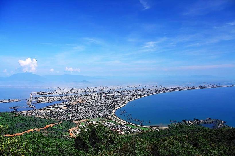
Hai Van Pass is a mountain pass located on the border of Da Nang and Thua Thien Hue Province, Vietnam.
It is a significant geographical feature connecting the coastal plains of Central Vietnam.
Visual Characteristics
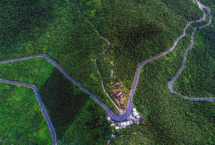
The pass features steep, winding roads with elevations reaching approximately 496 meters (1,627 feet) above sea level. Vegetation consists of dense tropical forest on either side of the road. The road surface is primarily asphalt. At the summit, there are remnants of a French-built fort constructed from stone.
Location & Access Logistics
Hai Van Pass is situated approximately 20 kilometers northwest of Da Nang city center. Access is via National Route 1A. Private vehicles (cars, motorcycles) are the primary mode of transport. There is a parking area at the summit, though it can become congested during peak hours. Public bus services do not directly stop at the summit; travelers typically arrange private transport or join organized tours. Train services pass through a tunnel beneath the pass, bypassing the summit experience.
Historical & Ecological Origin
The pass has been a strategic route for centuries, historically serving as a natural boundary. The fort at the summit was constructed by the French in the early 20th century, intended as a defensive position. Ecologically, the area is part of the Annamite Range, characterized by diverse flora and fauna typical of Southeast Asian tropical forests.
Key Highlights & Activities
Driving or riding the pass offers panoramic views of the coastline. Visitors can stop at the summit to explore the historical fort. Photography opportunities are available at designated viewpoints. The descent offers different perspectives of the landscape.
Infrastructure & Amenities
At the summit, there are small food stalls and souvenir shops. Restroom facilities are available. Shade is limited to these structures. Cell phone signal (4G) is generally available at the summit but can be intermittent along the road.
Best Time to Visit
The best time of day for photography is generally in the morning or late afternoon when the sun angle provides optimal lighting. The dry season, from January to August, offers clearer visibility and less rainfall. During the monsoon season (September to December), fog and rain can significantly reduce visibility and make driving conditions challenging.
Facts & Legends
Local legend speaks of the "Cloudy Pass" (Hai Van) due to the frequent mists that shroud the summit, obscuring views. A specific tip for motorcyclists is to be aware of the sharp turns and potential for loose gravel on the road edges.
Nearby Landmarks
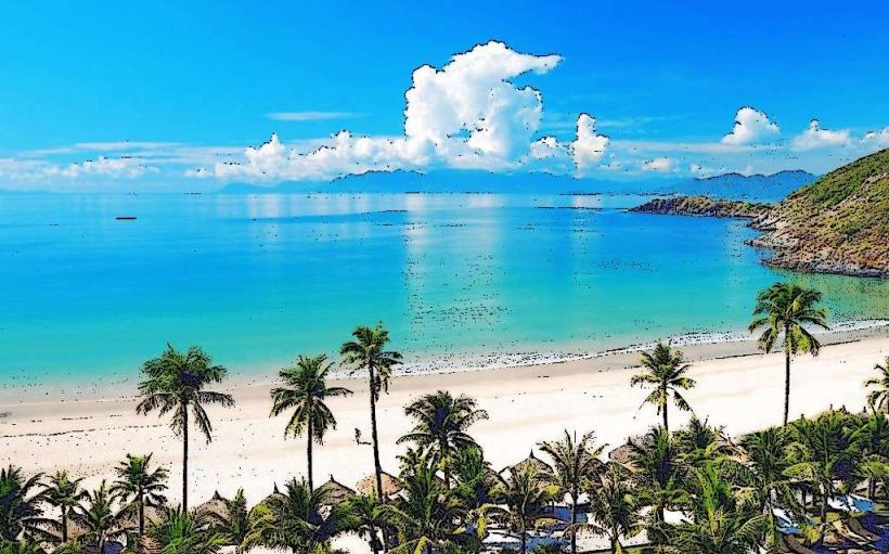
- 0.5km South: Lang Co Beach
- 3km Southwest: Son Tra Peninsula
- 15km Southeast: Da Nang city center
- 25km Northwest: Hue city center (via tunnel)