Landmark: Isla Gorriti
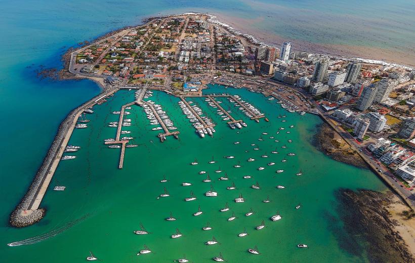
City: Punta del Este
Country: Uruguay
Continent: South America
Isla Gorriti, Punta del Este, Uruguay, South America
Isla Gorriti is a small island located in the Río de la Plata, approximately 1.5 kilometers offshore from Punta del Este, Uruguay. It serves as a protected natural area and a recreational site.
Visual Characteristics
The island is characterized by its dense vegetation, primarily pine and eucalyptus forests, interspersed with open grassy areas. Its coastline features sandy beaches and rocky outcrops. The water surrounding the island is typically a clear blue-green.
Location & Access Logistics
Access to Isla Gorriti is exclusively by boat. Ferries and private boat rentals operate from the port of Punta del Este. The crossing takes approximately 15-20 minutes. There is no vehicle access to the island; parking is available at the Punta del Este port facilities.
Historical & Ecological Origin
Isla Gorriti was declared a National Historical Monument in 1942. Historically, it served as a strategic defensive point. In the 18th century, fortifications were built on the island to protect the entrance to the Río de la Plata. Ecologically, it is a coastal island ecosystem with native and introduced flora.
Key Highlights & Activities
Activities include swimming, sunbathing on the beaches, picnicking in designated areas, and hiking on marked trails. The island has two main bays suitable for anchoring small boats. Fishing is permitted in designated zones.
Infrastructure & Amenities
Basic amenities are available during the high season (December-February), including public restrooms and some shaded picnic areas. There are no permanent food vendors on the island, but portable kiosks may operate during peak times. Cell phone signal is generally available.
Best Time to Visit
The best time for visiting is during the warmer months, from November to March. For photography, early morning or late afternoon light provides optimal conditions. High tide is generally preferred for beach access and swimming.
Facts & Legends
A notable historical feature is the 18th-century Spanish fort, Castillo de San Fernando, remnants of which are still visible. Local lore sometimes speaks of shipwrecks off its coast, though specific documented legends are scarce.
Nearby Landmarks
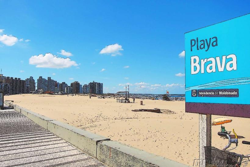
- Punta del Este Port (1.5km West)
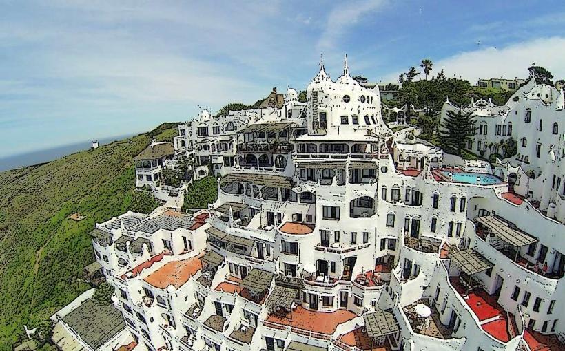
- Casapueblo (8km West)
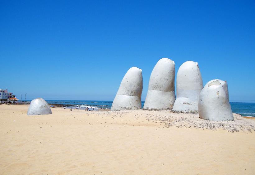
- La Mano de Punta del Este (2km West)
- Museo Ralli (6km West)