Landmark: La Barra
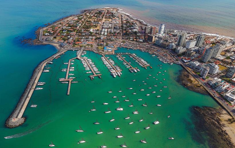
City: Punta del Este
Country: Uruguay
Continent: South America
La Barra, Punta del Este, Uruguay, South America
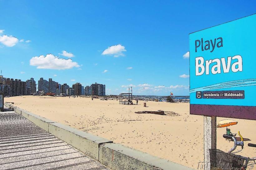
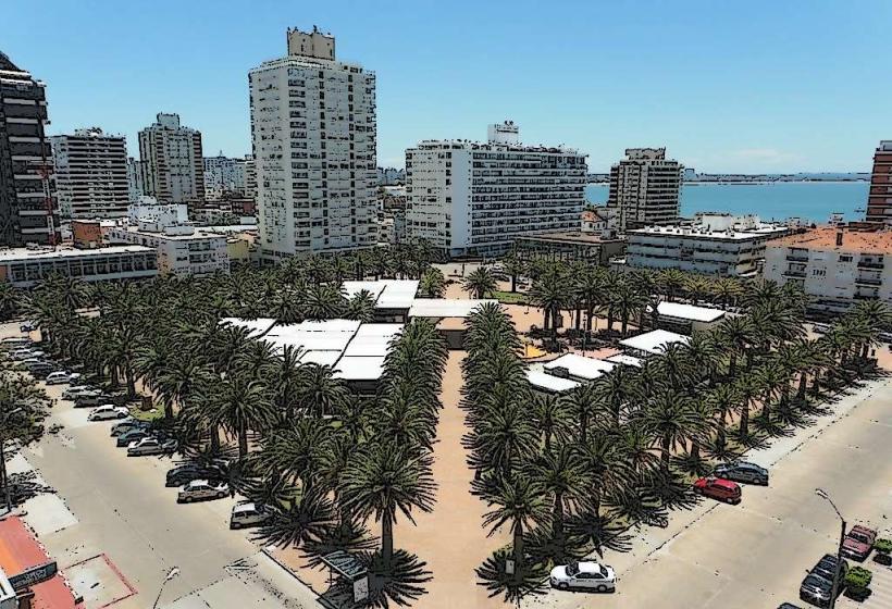
La Barra is a coastal district located east of Punta del Este, Uruguay. It is characterized by its beaches and a distinct architectural style.
Visual Characteristics
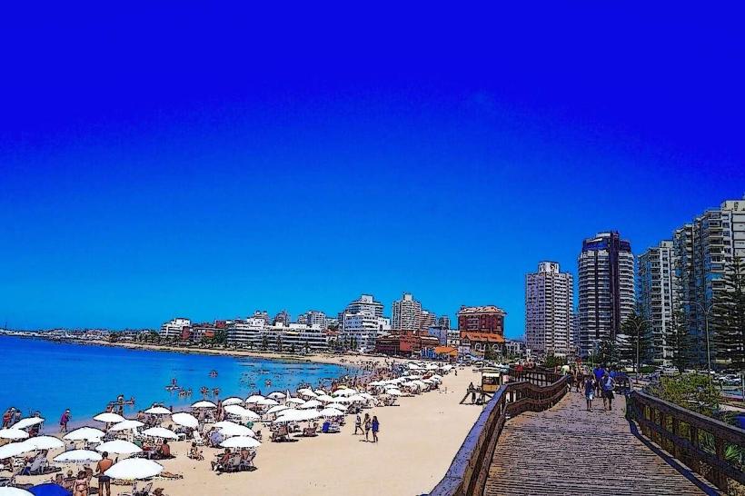
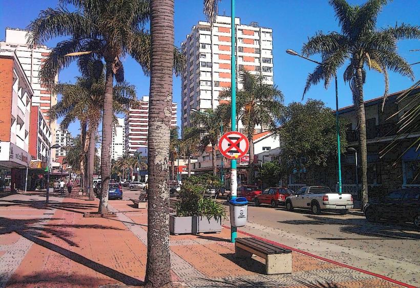
The area features a mix of residential structures, many constructed with exposed brick and wood, often featuring angled roofs. The coastline is defined by sandy beaches with moderate wave action. The water color varies from grey-blue to green depending on atmospheric conditions.
Location & Access Logistics
La Barra is situated approximately 15 kilometers east of the Punta del Este city center. Access is primarily via Route 10 (Avenida Francisco Salazar). Parking is generally available along side streets and designated areas, though it can be limited during peak season. Public transport options include local bus lines that run along Route 10, connecting La Barra to Punta del Este and other coastal towns.
Historical & Ecological Origin
La Barra developed as a distinct settlement from Punta del Este, initially attracting artists and surfers due to its more relaxed atmosphere and surf-friendly waves. Its ecological origin is a sandy coastal plain formed by marine deposition.
Key Highlights & Activities
Activities include surfing and bodyboarding on its beaches, such as Montoya Beach and La Posta Beach. Fishing from the shore or the small port area is also common. Exploring the local artisan shops and galleries is another option.
Infrastructure & Amenities
Restrooms are available at some beach access points and within commercial establishments. Shade is provided by natural vegetation and some beach umbrellas for rent. Cell phone signal (4G) is generally consistent. Food vendors and small restaurants are present in the main commercial area.
Best Time to Visit
For optimal beach conditions and water temperature, the months of December through February are recommended. Mid-morning to late afternoon offers the best natural light for photography. High tide can influence wave conditions for surfing.
Facts & Legends
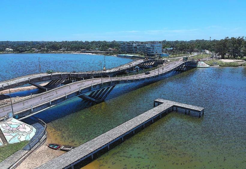
A local legend suggests that the "Puente de la Barra" (the bridge over the Maldonado stream) was designed with a specific curve to deter speeding, though its actual design is attributed to engineering considerations for the road.
Nearby Landmarks
- Punta del Este City Center (15km West)
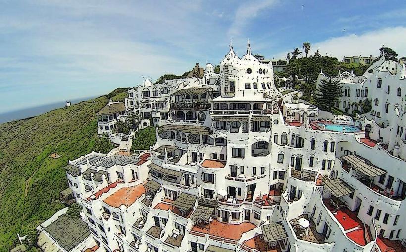
- Casapueblo (10km East)
- Museo Ralli (12km West)
- Arco de la Laguna (3km West)