Landmark: Kano City Walls
City: Kano
Country: Nigeria
Continent: Africa
Kano City Walls, Kano, Nigeria, Africa
The Kano City Walls are a defensive earthwork fortification surrounding the ancient city of Kano in northern Nigeria. These walls represent one of the most significant historical structures in West Africa.
Visual Characteristics
The walls are constructed primarily from compacted earth, forming a substantial embankment. Their height varies, averaging approximately 10 meters, with a width at the base often exceeding 15 meters. Numerous gates, known as 'Kofofi', punctuate the perimeter. The earth material exhibits a reddish-brown hue, typical of laterite soil found in the region. Sections of the wall show evidence of erosion and vegetation growth.
Location & Access Logistics
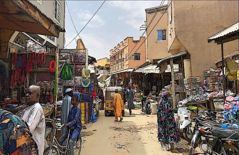
The Kano City Walls encircle the core of Kano city. Access is available from multiple points within the metropolitan area. Major roads like Murtala Mohammed Way and Ibrahim Taiwo Road intersect with the wall's path. Parking is generally available in designated areas near the gates, though it can be limited during peak hours. Public transport, including taxis and local buses (danfo), frequently traverse routes adjacent to the walls.
Historical & Ecological Origin
Construction of the Kano City Walls began in the 10th century and continued over several centuries, with significant expansion and reinforcement occurring during the reign of Emir Muhammadu Rumfa in the 15th century. The original purpose was to defend the city against external threats and to delineate its administrative and economic center. The walls are an example of traditional earthwork fortification techniques adapted to the local environment and available materials.
Key Highlights & Activities
Walking along sections of the wall provides an elevated perspective of the city. Observing the construction techniques and the scale of the earthworks is a primary activity. Visitors can explore the various gates and their historical significance. Photography of the wall's structure and its integration with the urban landscape is common.
Infrastructure & Amenities
Restrooms are not consistently available directly on the walls. Shade is minimal, primarily provided by natural vegetation in some areas. Cell phone signal (4G/5G) is generally strong throughout the city, including areas near the walls. Food vendors are commonly found in the vicinity of the city gates and markets adjacent to the walls.
Best Time to Visit
The best time of day for photography is during the early morning or late afternoon when the sun angle creates shadows that highlight the wall's texture and form. The dry season, from November to March, offers the most comfortable weather conditions with lower humidity and less rainfall. There are no tide requirements for visiting.
Facts & Legends
A notable historical detail is that the walls were designed to accommodate a moat, though its construction was not always complete or maintained. Local folklore suggests that the walls were built with the assistance of jinn, contributing to their immense scale and durability.
Nearby Landmarks
- Emir's Palace (0.8km West)
- Kano Central Mosque (0.7km West)
- Kofar Wambai Market (0.3km South)
- Gidan Makama Museum (0.9km West)
- Fagge Market (1.2km East)