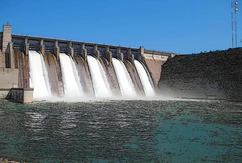
Landmark: Tiga Dam
City: Kano
Country: Nigeria
Continent: Africa
Tiga Dam, Kano, Nigeria, Africa
Tiga Dam is an embankment dam located in the Kano State of Nigeria. It impounds the waters of the Kano River.
Visual Characteristics
The dam structure is composed of earthfill and rockfill. Its crest length measures approximately 1.5 kilometers. The reservoir it creates, Tiga Lake, is a large body of water with varying shoreline characteristics depending on water levels.
Location & Access Logistics
Tiga Dam is situated approximately 100 kilometers south of Kano city. Access is via the Kano-Zaria Road (A2) and then a secondary road leading to the dam site. The final approach road can be unpaved in sections. Parking is available at designated areas near the dam crest, though it is informal. Public transport directly to the dam is limited; private vehicles or hired transport are the primary means of access.
Historical & Ecological Origin
Construction of Tiga Dam commenced in 1971 and was completed in 1974. It was built by the Nigerian Government with assistance from the China National Complete Plant Import and Export Corporation. The dam's primary purpose was to provide irrigation water for agricultural development in the Kano River Basin and also for hydroelectric power generation.
Key Highlights & Activities
Boating and fishing are common activities on Tiga Lake. The dam crest offers a vantage point for observing the reservoir and surrounding landscape. Birdwatching is possible due to the presence of various avian species attracted to the water body.
Infrastructure & Amenities
Basic amenities are minimal. Restrooms are not consistently available or maintained. Shade is limited to natural vegetation in surrounding areas. Cell phone signal can be intermittent. Food vendors are not typically present at the dam site itself, but may be found in nearby villages.
Best Time to Visit
The dry season, from November to April, generally offers more stable weather conditions. The late afternoon provides softer lighting for photography of the dam and reservoir. Water levels are highest during and immediately after the rainy season (May to October).
Facts & Legends
Tiga Dam is a critical component of the Hadejia-Nguru Wetlands system, providing essential water for downstream ecosystems and communities. A notable historical oddity is its dual purpose for irrigation and power generation, though the latter has faced operational challenges.
Nearby Landmarks
- Kano City Walls (approx. 100km North)
- Gidan Makama Museum (approx. 100km North)
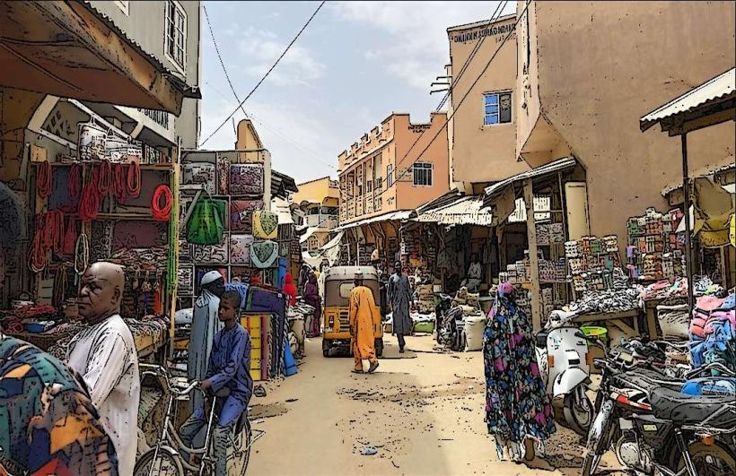
- Fagge Market (approx. 100km North)
- Bagauda Lake (approx. 80km North)