Landmark: Koutango Forest
City: Kaolack
Country: Senegal
Continent: Africa
Koutango Forest, Kaolack, Senegal, Africa
The Koutango Forest is a protected woodland and faunal reserve located in the Sine-Saloum region, approximately 50km southeast of the city of Kaolack, Senegal. It serves as a vital ecological corridor for avian species and terrestrial mammals moving between the Saloum Delta and the inland savanna.
Visual Characteristics
The forest is characterized by a mix of dry deciduous woodland and sudano-sahelian savanna. It features a high density of mature baobab trees (Adansonia digitata), thorny acacia shrubs, and stands of mahogany. During the dry season, the landscape is defined by golden-brown tall grasses and grey bark; in the rainy season, the vegetation becomes a dense, deep green thicket with limited visibility.
Location & Access Logistics
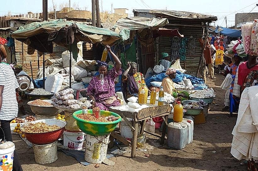
The forest is located off the N1 highway, following the secondary road R71 towards the village of Koutango. It is approximately 45km from Kaolack city center. Access is best achieved via a private 4x4 vehicle due to the unpaved and sandy nature of the interior tracks. There is no formal public transport directly into the forest, though bush taxis to the nearby village of Koutango are available from the Gare Routière de Kaolack.
Historical & Ecological Origin
Koutango was classified as a protected forest during the mid-20th century to prevent desertification and preserve local biodiversity. It is a natural geological formation of the continental terminal, consisting of lateritic soils and sandy-clay deposits. Historically, the area was used by the Serer and Mandinka people for traditional medicinal plant harvesting and sustainable grazing.
Key Highlights & Activities
Trekking and birdwatching are the primary activities, as the forest is home to various hornbills, eagles, and vultures. Guided walking tours are possible with local trackers who identify tracks of warthogs and small antelopes. The forest also serves as a site for studying traditional agroforestry techniques, particularly the harvest of wild honey and baobab fruit.
Infrastructure & Amenities
Infrastructure is nearly non-existent within the forest boundaries. There are no public restrooms, paved roads, or visitor centers. Shade is provided naturally by the baobab and mahogany canopy. Cellular signal (4G) is weak and intermittent once away from the village of Koutango. Visitors must bring their own water and supplies, as there are no food vendors within the reserve.
Best Time to Visit
The best time for wildlife observation is during the early morning (06:30–09:00) when animal activity is highest. The dry season (November to May) provides the best accessibility, as dirt tracks are firm. For photography, the golden hour (17:00–18:30) is ideal for capturing the silhouettes of baobab trees against the horizon.
Facts & Legends
Local oral history suggests the forest contains "sacred" groves where ancient hunters performed rituals before major expeditions. A specific "secret" tip for visitors is to look for the massive hollowed-out baobabs, some of which are large enough to stand inside and were historically used as temporary shelters or storehouses for grain during periods of conflict.
Nearby Landmarks
Village of Koutango – 0.5km North
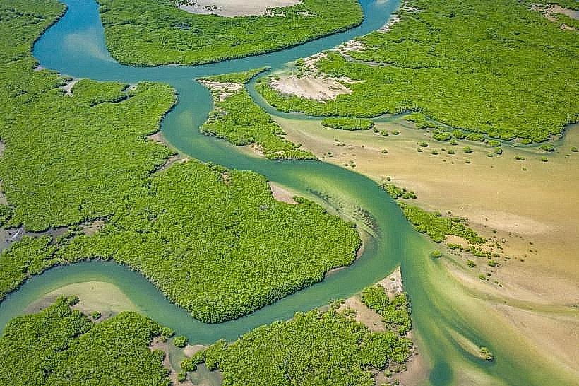
Saloum Delta Biosphere Reserve – 4.8km West
Birkelane Town – 4.2km East
N1 Highway Intersection – 3.5km South