Landmark: Place de l'Indépendance
City: Kaolack
Country: Senegal
Continent: Africa
Place de l'Indépendance, Kaolack, Senegal, Africa
Place de l'Indépendance is a central public square and historical landmark situated in the heart of Kaolack, Senegal. It serves as a primary civic space and a focal point for the city's administrative and colonial-era district.
Visual Characteristics
The square is a large, open paved area featuring a central obelisk or monument marking Senegalese independence. The surrounding architecture consists of low-rise colonial buildings with arched verandas and ochre-colored facades. The ground is primarily composed of weathered concrete and stone tiling, punctuated by sparse clusters of neem trees and ornamental shrubbery at the perimeter.
Location & Access Logistics
The site is located at the intersection of several major city arteries, including the Rue de l'Indépendance and the N1 highway. It is situated approximately 600 meters southwest of the Kaolack Grand Market. Access is straightforward via local yellow taxis or "calèches" (horse-drawn carriages) which frequent the surrounding streets. There is no formal parking lot, but street parking is available on the adjacent lateral roads.
Historical & Ecological Origin
The square was originally designed during the French colonial administration as the "Place de France" to serve as the administrative center of the Sine-Saloum region. Following Senegal's independence in 1960, it was renamed and repurposed as a symbolic site for national sovereignty and public gatherings. The surrounding buildings, such as the regional governorship, date back to the early 20th century and exhibit classic French colonial urban planning.
Key Highlights & Activities
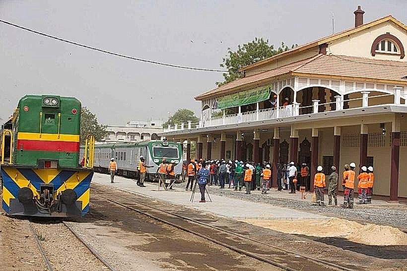
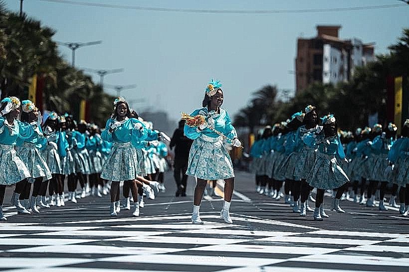
The square is primarily used for official state ceremonies, military parades, and public celebrations, particularly on Independence Day (April 4th). Daily activities include pedestrian transit between administrative offices and informal social gatherings under the shaded perimeters. The central monument provides a specific point for civic observation and photography.
Infrastructure & Amenities
Infrastructure is basic, consisting of stone benches and public lighting. There are no dedicated public restrooms or formal visitor centers on the square. Shade is limited to the tree line and the overhangs of surrounding colonial buildings. 4G/5G cellular coverage is excellent due to the proximity of administrative offices. Food vendors selling beverages and snacks are typically found on the street corners bordering the square.
Best Time to Visit
The best time for photography is during the "golden hour" (17:00 to 18:30) when the low sun illuminates the colonial facades. For logistical ease, early morning (07:00 to 09:00) is recommended to avoid the peak midday heat and high traffic congestion. The square is most significant to visit on national holidays when it is decorated for official events.
Facts & Legends
A local historical oddity is that the square’s layout was specifically designed to provide a clear line of sight between the Governor's residence and the Saloum River, ensuring the colonial administration could monitor maritime traffic. It remains the most common "point zero" used by local taxi drivers for navigating the downtown district.
Nearby Landmarks
Gouvernance de Kaolack – 0.1km South
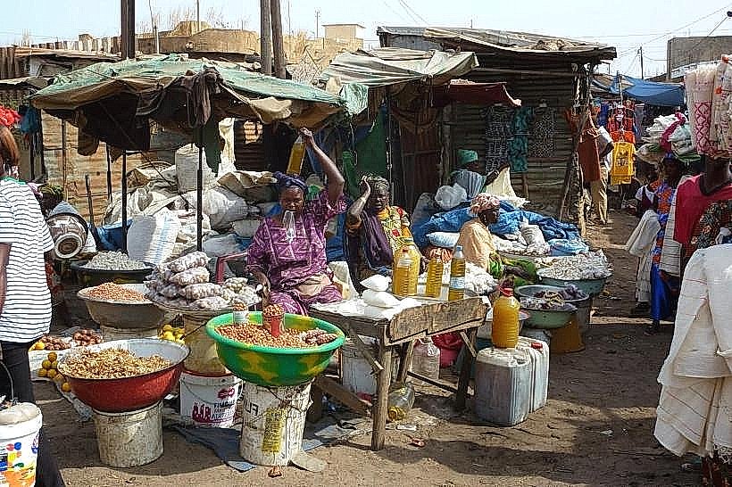
Kaolack Grand Market – 0.6km Northeast
Kaolack Port (Saloum River) – 0.8km West
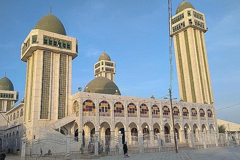
Cathédrale Saint-Théophile – 0.4km Southeast