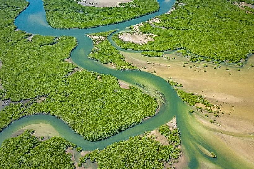
Landmark: Saloum River
City: Kaolack
Country: Senegal
Continent: Africa
Saloum River, Kaolack, Senegal, Africa
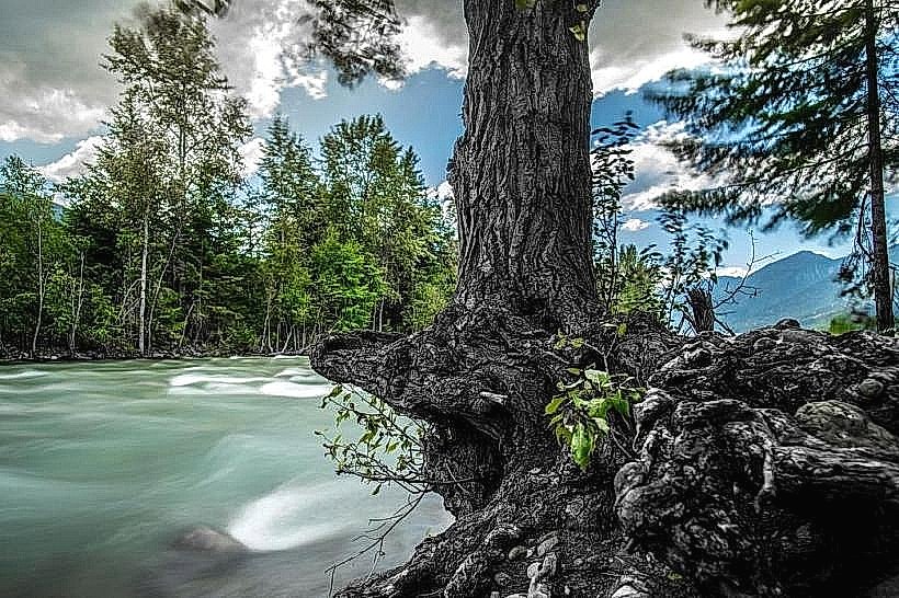
The Saloum River is a major 250-kilometer-long waterway in central Senegal that flows from the interior salt flats near Kaolack to the Atlantic Ocean. It is a dominant geographical feature of the Sine-Saloum region, functioning as a "reverse estuary" where salinity levels increase as the river moves inland due to high evaporation and low freshwater inflow.
Visual Characteristics
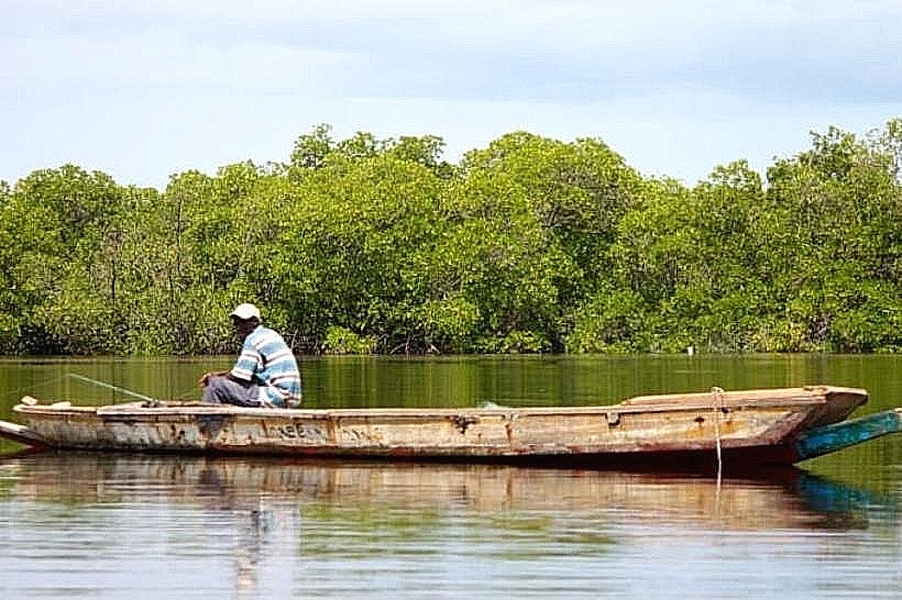
The river is characterized by wide, slow-moving channels and a complex network of "bolongs," which are smaller saltwater creeks. Near Kaolack, the water appears dark and silty, while closer to the ocean, it transitions to a clearer turquoise. The banks are primarily lined with dense green mangrove forests featuring tangled aerial roots, interspersed with vast, white salt flats (tannes) and massive ancient shell middens.
Location & Access Logistics
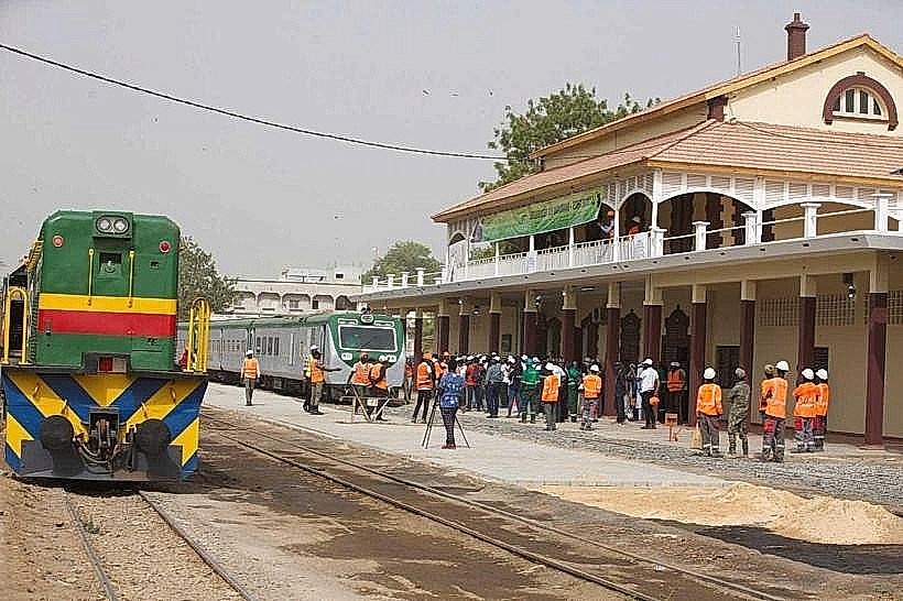
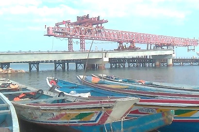
The river originates east of Kaolack and flows westward through the Saloum Delta. In Kaolack, it is accessible via the Kaolack Port located off the N1 highway. Further downstream, access points include the docks at Ndangane, Palmarin, and Toubacouta. Traditional wooden pirogues are the primary mode of transport for navigating the river, with various private operators departing from the Kaolack riverfront and tourist hubs.
Historical & Ecological Origin
The Saloum River is part of a drowned river valley system formed during the Holocene era. Historically, it served as a vital trade route for the Kingdom of Saloum, facilitating the export of salt, dried fish, and peanuts. It was designated as part of the Saloum Delta National Park in 1976 and is recognized as a Ramsar site due to its critical wetland ecology.
Key Highlights & Activities
Navigating the river via motorized pirogue is the main activity, allowing for birdwatching of species like kingfishers, herons, and flamingos. Artisanal fishing is common, with local populations harvesting shrimp and mollusks from the mangroves. In the upper reaches near Kaolack, industrial-scale salt harvesting is visible along the banks, where salt is raked into large white pyramids.
Infrastructure & Amenities
Infrastructure along the river is localized to specific ports and villages. The Kaolack Port area has basic concrete docks, but no formal tourist amenities. In the delta region, eco-lodges provide restrooms and food, but the river itself has no facilities. 4G/5G cellular signal is strong in Kaolack but becomes intermittent or non-existent in the deep mangrove channels of the lower Saloum.
Best Time to Visit
The dry season from November to June is the most favorable time for navigation and birdwatching. Photography is optimal during the late afternoon (17:00 to 18:30) when the water is calm and the sun illuminates the mangrove canopy. Travelers must coordinate trips with the tide; low tide exposes bird-rich mudflats but can restrict access to narrower secondary bolongs.
Facts & Legends
The Saloum River is subject to a unique hydrological phenomenon where, during the dry season, the water becomes three times saltier than the ocean. Local Serer legends state that the river is protected by "Mindiss," a female water spirit who resides near the port of Kaolack and is said to demand offerings from fishermen to ensure a safe passage and a plentiful catch.
Nearby Landmarks
Kaolack Port – 0.1km (Directly on the bank)
Saloum Delta National Park – 4.5km West (Entry points)
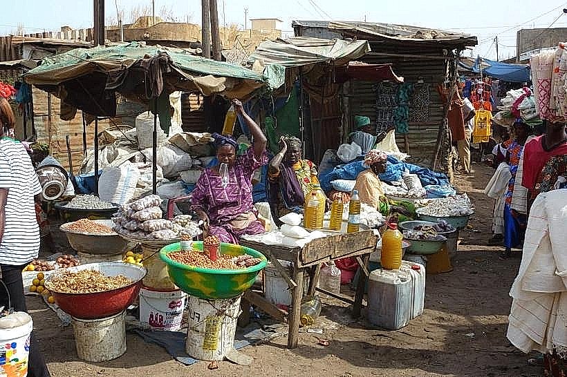
Kaolack Grand Market – 1.2km East
Île aux Oiseaux (Bird Island) – 3.5km West (via boat)