Landmark: La Libertad Pier
City: La Libertad
Country: El Salvador
Continent: North America
La Libertad Pier, La Libertad, El Salvador, North America
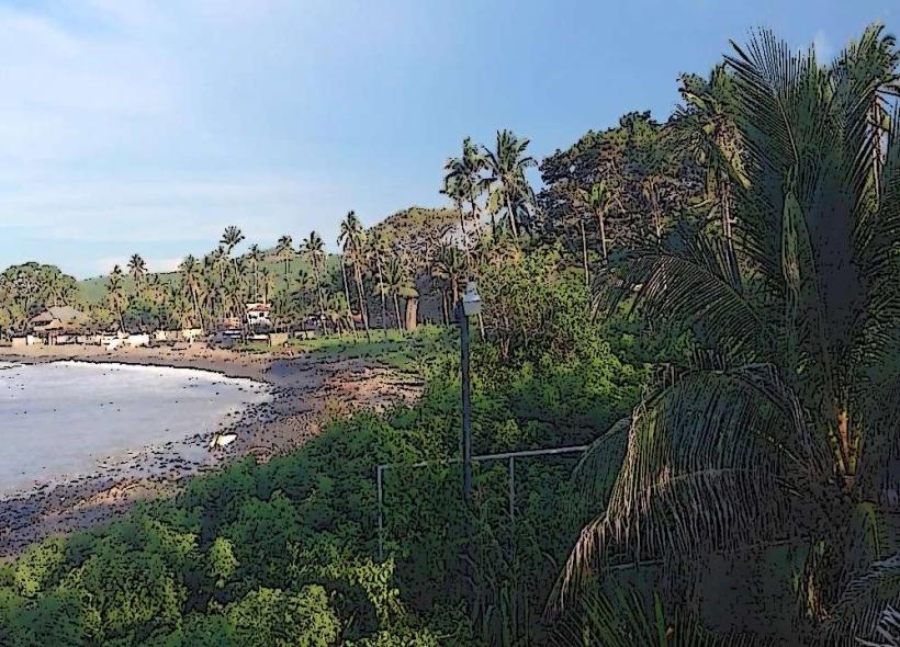
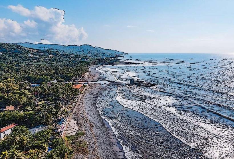
La Libertad Pier is a concrete structure extending into the Pacific Ocean from the coastline of La Libertad, El Salvador.
It serves as a central point for maritime activity and public access to the ocean in the city.
Visual Characteristics
The pier is constructed primarily of reinforced concrete. Its surface is a flat, grey concrete expanse. The structure extends approximately 300 meters from the shoreline. Along its length, metal railings are installed for safety. Several concrete benches are positioned at intervals. At the ocean end, a wider platform area is present, supporting a small, open-air pavilion.
Location & Access Logistics
The pier is situated at the southern terminus of Calle Principal in La Libertad. It is approximately 35 kilometers southwest of San Salvador. Access is directly from the main coastal highway, CA-2. Parking is available in a paved lot adjacent to the pier entrance, with a fee typically charged. Public buses serving the San Salvador to La Libertad route (e.g., Bus 102) stop within a 5-minute walk of the pier.
Historical & Ecological Origin
Construction of La Libertad Pier was completed in 1952. It was designed to facilitate fishing operations and provide a recreational space for the growing coastal community. The pier is built on a continental shelf, with the seabed composed of sand and volcanic rock formations.
Key Highlights & Activities
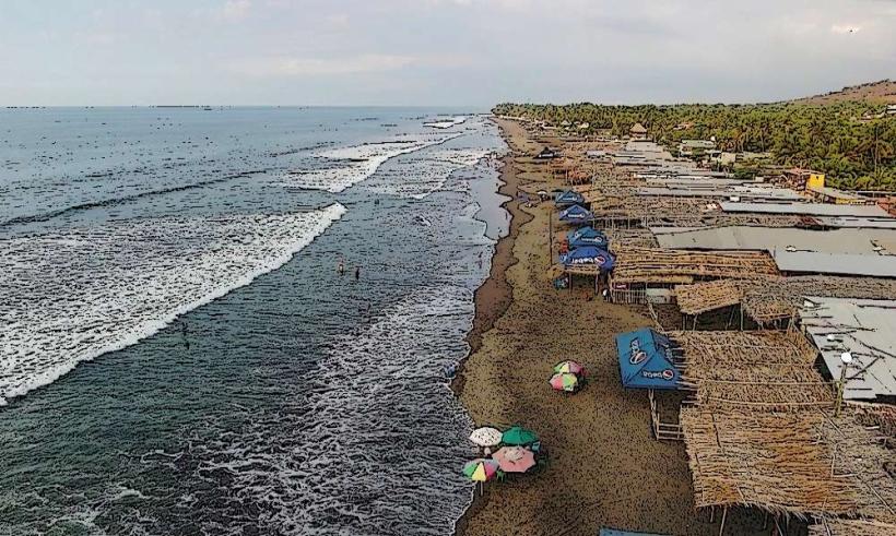
Fishing is a primary activity from the pier. Surfing lessons and rentals are available from vendors located near the pier entrance. Walking the length of the pier offers views of the coastline and ocean. Observation of local fishing boats is possible. The pavilion at the end of the pier can be used for shaded rest.
Infrastructure & Amenities
Restrooms are located at the base of the pier. Limited shade is provided by the pavilion at the ocean end and by the railings. Cell phone signal (4G) is generally consistent. Food vendors, selling seafood and local snacks, are present in the immediate vicinity of the pier entrance.
Best Time to Visit
For photography, early morning (06:00-08:00) offers favorable lighting conditions with fewer crowds. The months of December through April generally provide drier weather. High tide is not a critical factor for pier access, but can influence wave conditions for surfing.
Facts & Legends
A local anecdote suggests that on exceptionally clear days, the outline of distant volcanic islands can be discerned from the pier's end. The pier has historically been a focal point for community gatherings and celebrations.
Nearby Landmarks
- Playa El Tunco (1.5km Southwest)
- El Malecón de La Libertad (0.2km West)
- Playa Las Flores (2.0km Southwest)
- Puerto de La Libertad (0.8km Southeast)