Landmark: Playa El Majahual
City: La Libertad
Country: El Salvador
Continent: North America
Playa El Majahual, La Libertad, El Salvador, North America
Playa El Majahual is a coastal area situated in the municipality of La Libertad, El Salvador. It is recognized for its consistent surf conditions.
Visual Characteristics
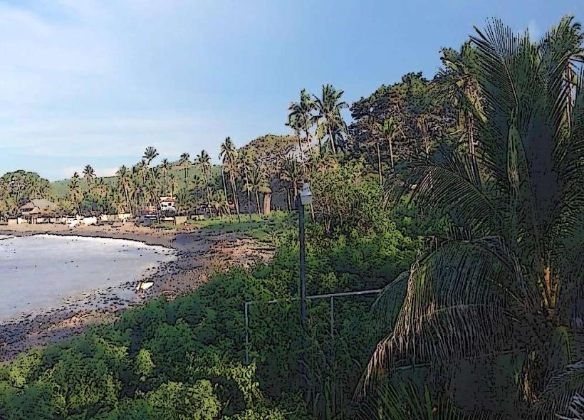
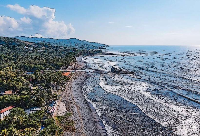
The beach consists of dark volcanic sand. The water exhibits a moderate to strong wave action, typical of Pacific coastlines. Vegetation is sparse, primarily consisting of low-lying coastal scrub and palm trees lining the immediate inland areas.
Location & Access Logistics
Playa El Majahual is located approximately 30 kilometers west of San Salvador. Access is via the CA-2 highway, turning south onto the local road marked for El Majahual. Parking is available at designated lots adjacent to the beach, with a fee typically charged. Public transportation options include local buses (Rutas 102 and 183) that run along the CA-2 and stop near the turn-off for the beach. From the highway stop, a short walk or local taxi is required.
Historical & Ecological Origin
The beach is a product of volcanic activity common to the region, with its sand composition derived from eroded basaltic rock. Ecologically, it is part of the Central American Pacific coastal ecosystem, characterized by a marine environment influenced by oceanic currents.
Key Highlights & Activities
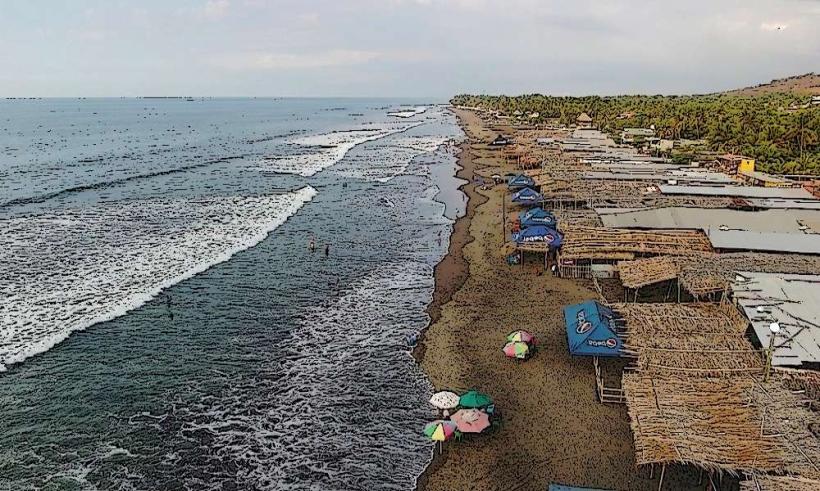
Surfing is the primary activity, with consistent swells suitable for various skill levels. Lessons and board rentals are available from local operators. Swimming is possible, but caution is advised due to strong currents and wave action. Beachfront dining is also a common activity.
Infrastructure & Amenities
Restrooms are available at some of the beachfront establishments. Shade is provided by palapas and natural vegetation. Cell phone signal (4G) is generally available. Food vendors and small restaurants are present along the beach road.
Best Time to Visit
For surfing, the dry season (November to April) generally offers the most consistent swells. The best time of day for photography is typically late afternoon, when the sun is lower, casting longer shadows and providing softer light. High tide can increase wave size.
Facts & Legends
A local legend suggests that the consistent waves are due to an underwater rock formation that redirects ocean currents. Verified information indicates that the beach is a popular stop for international surfers due to its reliable breaks.
Nearby Landmarks
- 0.8km East: El Tunco Beach (Surf spot, restaurants)
- 1.5km East: El Sunzal Beach (Surf spot, rock formations)
- 4.0km West: La Perla Beach (Surf spot)
- 4.5km West: El Zonte Beach (Surf spot, village)