Landmark: Playa El Tunco
City: La Libertad
Country: El Salvador
Continent: North America
Playa El Tunco, La Libertad, El Salvador, North America
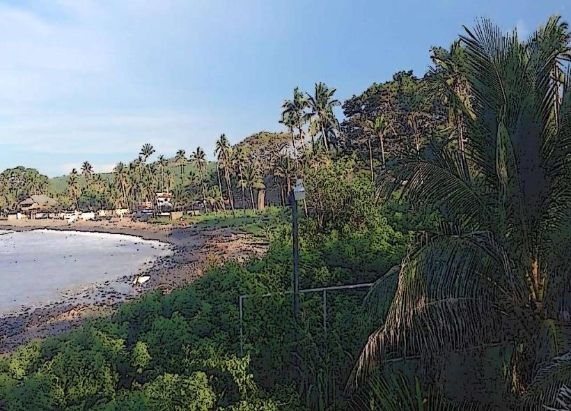
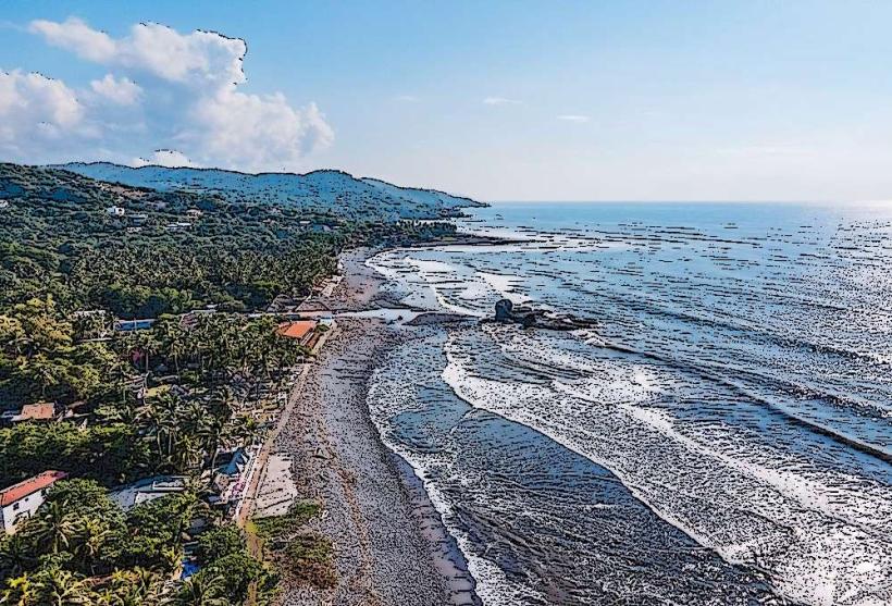
Playa El Tunco is a coastal area located in the municipality of La Libertad, El Salvador. It is recognized for its surf breaks and volcanic sand beach.
Visual Characteristics
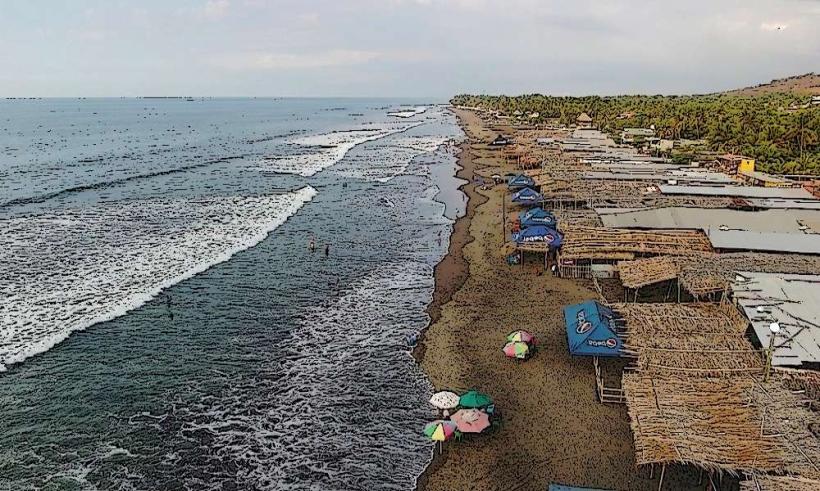
The beach consists of dark volcanic sand. The primary visual feature is the prominent rock formation known as "El Tunco" (The Pig), a large, pig-shaped rock situated near the shoreline. The coastline is characterized by rocky outcrops and consistent wave action.
Location & Access Logistics
Playa El Tunco is situated approximately 10 kilometers west of the city of La Libertad. Access is via the CA-2 highway (Carretera Litoral). From San Salvador, the capital city, it is approximately 40 kilometers west. Parking is available in designated lots and on some side streets, though it can be limited during peak seasons. Public transportation includes local buses (Rutas 102 and 183) that run along the CA-2 highway, with stops near the beach entrance.
Historical & Ecological Origin
The beach's formation is a result of volcanic activity in the region, with the dark sand being composed of eroded volcanic rock. The "El Tunco" rock is a natural geological formation shaped by wave erosion over time. The area is part of El Salvador's Pacific coastline, known for its marine ecosystems.
Key Highlights & Activities
Surfing is the primary activity, with consistent waves suitable for various skill levels. The main surf breaks are "La Bocana" and "El Sunzal," both accessible from Playa El Tunco. Swimming is possible, but caution is advised due to currents and wave size. Beachfront restaurants and bars offer seating and views of the ocean. Walking along the beach and observing the rock formations are also common activities.
Infrastructure & Amenities
Restrooms are available in establishments along the beach. Shade is provided by palapa-style roofs at restaurants and bars. Cell phone signal (4G) is generally available. Food vendors and small shops are present in the immediate vicinity of the beach, offering local cuisine and beverages.
Best Time to Visit
The best time for surfing is generally during the dry season, from November to April, when swells are consistent. The best time of day for photography is typically late afternoon, approximately one hour before sunset, for optimal lighting on the volcanic sand and rock formations. High tide can affect accessibility to certain areas of the beach and the size of the waves.
Facts & Legends
The rock formation "El Tunco" is named for its resemblance to a pig. Local lore suggests that the rock has protective qualities for surfers. The beach is a popular destination for international surf competitions due to its reliable wave conditions.
Nearby Landmarks
- Playa El Zonte (2.5km West)
- Playa San Blas (3.0km East)
- La Libertad Port (9.5km East)
- Parque Nacional Walter Thilo Deininger (12.0km Northeast)