Information
Landmark: Playa MizataCity: La Libertad
Country: El Salvador
Continent: North America
Playa Mizata, La Libertad, El Salvador, North America
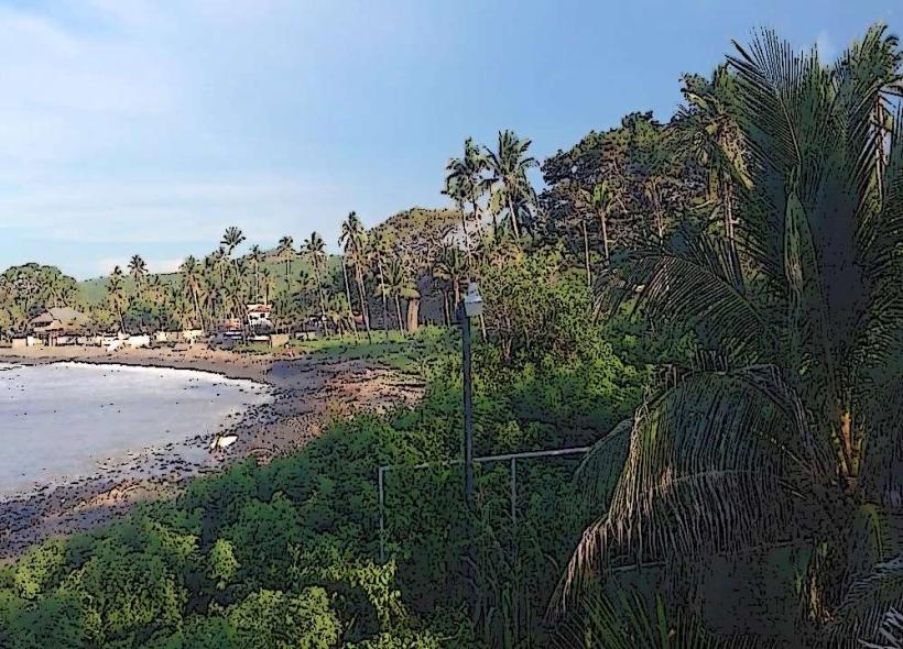
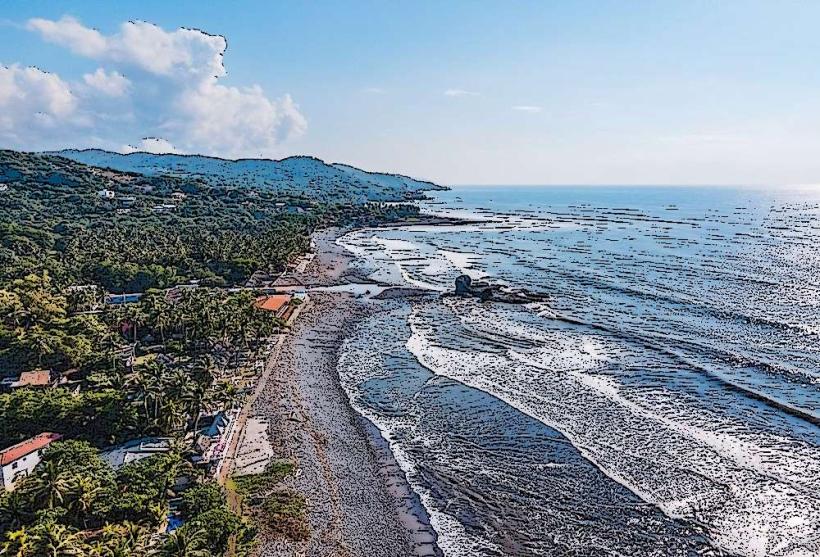
Playa Mizata is a coastal area located in the department of La Libertad, El Salvador. It is known for its natural rock formations and surf conditions.
Visual Characteristics
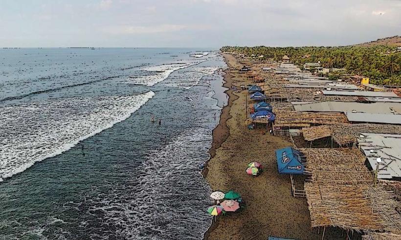
The beach consists of dark volcanic sand. Prominent features include large, weathered rock formations that extend into the ocean, creating natural pools and coves. The water color varies from deep blue to turquoise depending on sunlight and depth. Vegetation is sparse along the immediate shoreline, transitioning to scrub and tropical plants further inland.
Location & Access Logistics
Playa Mizata is situated approximately 75 kilometers west of San Salvador. Access is via the CA-2 highway (Carretera Litoral). Turn south onto the unpaved road marked for Mizata, approximately 2 kilometers past the town of San Diego. The unpaved section is roughly 3 kilometers long and can be rough, requiring a vehicle with higher clearance or 4WD in wet conditions. Parking is available at informal lots near the beach, often managed by local vendors. Public transport involves taking a bus (e.g., Route 102) from San Salvador towards Sonsonate and requesting to be dropped off at the Mizata turnoff, followed by a local taxi or a significant walk.
Historical & Ecological Origin
The rock formations at Playa Mizata are the result of volcanic activity and subsequent coastal erosion over millennia. The area is part of El Salvador's Pacific coastline, characterized by its geological history of volcanic eruptions and tectonic plate movement. Ecologically, it represents a coastal zone with marine influences.
Key Highlights & Activities
Surfing is a primary activity, with consistent waves suitable for intermediate to advanced surfers. The rock formations create natural tide pools that can be explored during low tide. Swimming is possible in designated calmer areas away from strong currents. Fishing from the shore or rocks is also practiced by locals.
Infrastructure & Amenities
Basic amenities are present, including a limited number of small, open-air restaurants and food stalls selling local seafood and beverages. Restrooms are typically available at these establishments. Shade is provided by palapas and natural rock overhangs. Cell phone signal (4G) is generally available but can be intermittent closer to the water's edge.
Best Time to Visit
The best time for surfing is typically from November to April during the dry season, when swells are consistent. For exploring tide pools, low tide is essential. Mid-morning (9 AM - 11 AM) and late afternoon (3 PM - 5 PM) offer favorable lighting conditions for photography due to reduced harshness and angled sunlight on the rock formations.
Facts & Legends
Local lore suggests that the large, distinct rock formation resembling a sleeping giant was once a real guardian of the coast, turned to stone by a curse. A practical tip for visitors is to wear sturdy footwear when exploring the rocks, as they can be slippery and uneven.
Nearby Landmarks
- El Tunco Beach (3.5km East)
- El Zonte Beach (7km East)
- Las Flores Beach (12km West)
- La Barra de Santiago (25km West)