Landmark: Lago de Tacuarembó
City: Tacuarembo
Country: Uruguay
Continent: South America
Lago de Tacuarembó, Tacuarembo, Uruguay, South America
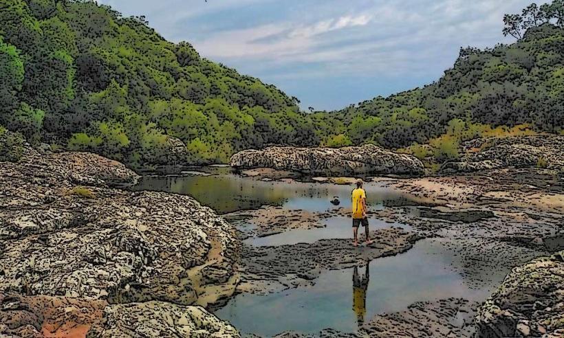
Lago de Tacuarembó is a reservoir located in the department of Tacuarembó, Uruguay.
This artificial lake serves as a primary water source for the surrounding region.
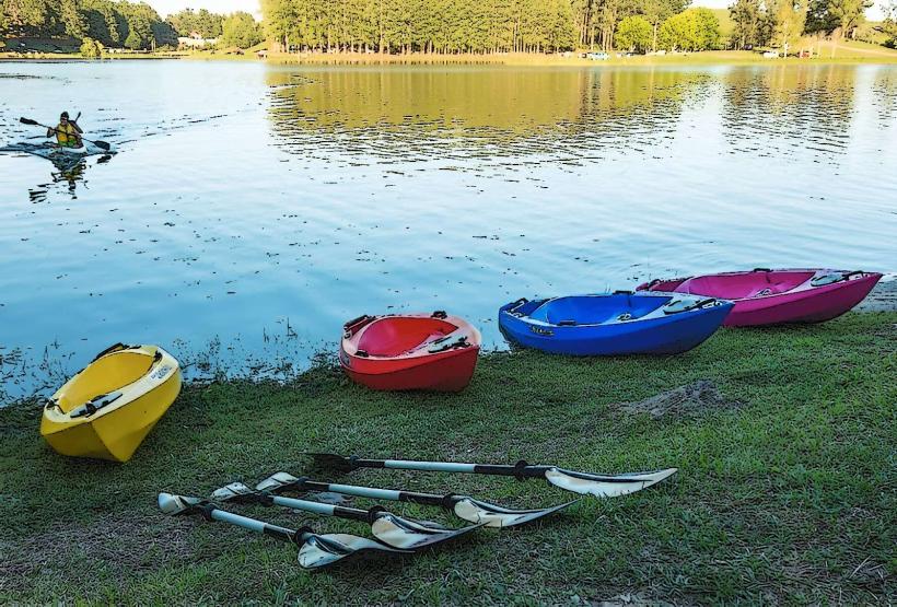
Visual Characteristics
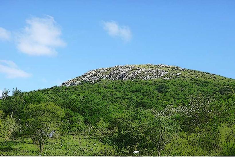
The lake's surface area is approximately 15 square kilometers. Its shoreline is characterized by a mix of natural vegetation and some cleared areas. Water color varies from deep blue to greenish depending on depth and sediment load. The surrounding terrain is generally flat to gently rolling.
Location & Access Logistics
Lago de Tacuarembó is situated approximately 15 kilometers west of the city of Tacuarembó. Access is primarily via National Route 5, turning onto Departmental Route 27. The drive from Tacuarembó city center takes approximately 20-25 minutes. Parking is available at designated points along the access roads and near recreational areas. Public transport options directly to the lake are limited; bus services typically terminate in Tacuarembó city, requiring onward travel by taxi or private vehicle.
Historical & Ecological Origin
The lake was formed by the construction of the Gabriel Terra Dam, completed in 1932. The dam's primary purpose was to regulate water flow from the Tacuarembó River and provide irrigation and a water supply. Ecologically, it is a man-made freshwater reservoir supporting local aquatic life.
Key Highlights & Activities
Fishing is permitted in designated areas. Boating and kayaking are possible, with launch points available. Birdwatching is a common activity due to the diverse avian population. Hiking trails are present around sections of the reservoir.
Infrastructure & Amenities
Restrooms are available at the main recreational park area. Shade is provided by natural vegetation and some picnic shelters. Cell phone signal (4G) is generally available near the main access points but can be intermittent further from shore. Food vendors are typically present during peak seasons and weekends at the primary park area.
Best Time to Visit
For photography, early morning and late afternoon offer optimal lighting conditions. The best months for pleasant weather are generally from September to April. No specific tide requirements apply as it is a freshwater lake.
Facts & Legends
A local legend speaks of a submerged indigenous settlement that was flooded when the dam was built, with whispers of ancient artifacts occasionally surfacing after heavy rains.
Nearby Landmarks
- Parque Rodó (12km East)
- Museo del Indígena (14km East)
- Catedral de Tacuarembó (15km East)
- Estadio Municipal de Tacuarembó (15km East)