Landmark: Louis Lake
City: Lander
Country: USA Wyoming
Continent: North America
Louis Lake, Lander, USA Wyoming, North America
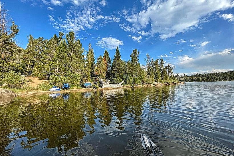
Louis Lake is a reservoir located in Fremont County, Wyoming, approximately 30 miles southwest of Lander.
Visual Characteristics
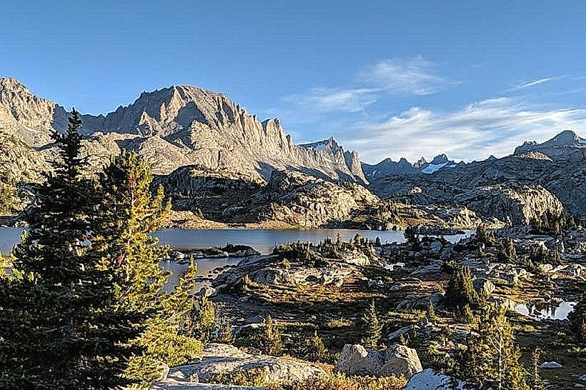
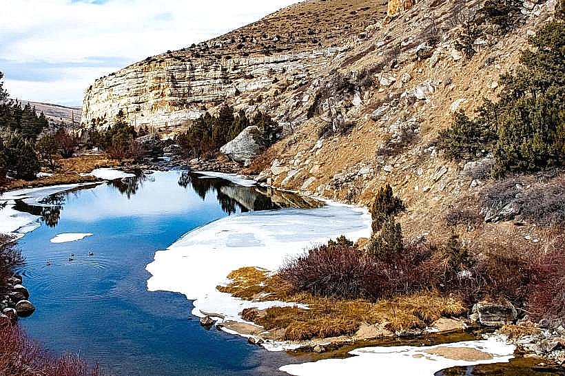
The lake is characterized by its clear, deep blue water, reflecting the surrounding granite peaks. The shoreline consists of a mix of rocky areas and small gravel beaches. The elevation of the lake is 9,940 feet (3,030 meters).
Location & Access Logistics
Access to Louis Lake is via Louis Lake Road, a paved county road branching off Wyoming Highway 28. The turnoff is approximately 25 miles southwest of Lander. Louis Lake Road extends for about 7 miles to the lake. Parking is available at designated pull-offs and a main parking area near the campground and day-use sites. No public transport services operate to Louis Lake.
Historical & Ecological Origin
Louis Lake was formed by the construction of a dam in the early 20th century. The dam was built to provide irrigation water for agricultural lands in the Wind River Valley. The lake is situated within the Shoshone National Forest, an area shaped by glacial activity and volcanic processes.
Key Highlights & Activities
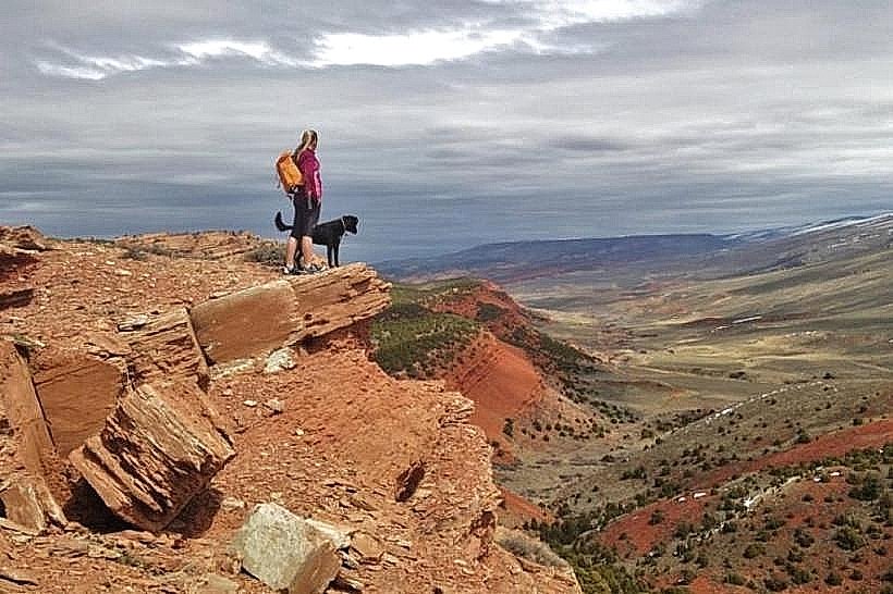
Activities include fishing for trout (rainbow and cutthroat), boating (non-motorized and limited motorized use), and camping. Hiking trails are accessible from the campground area, providing access to higher elevations and viewpoints. Kayaking and paddleboarding are also common.
Infrastructure & Amenities
A developed campground with campsites, picnic tables, and fire rings is present. Restrooms with vault toilets are available at the campground and day-use areas. Shade is limited, primarily found in the campground area. Cell phone signal is generally unreliable at the lake.
Best Time to Visit
The best months for visiting are July through September, when the weather is typically clear and daytime temperatures are moderate. The lake is accessible from late May or early June, depending on snowmelt. Mid-morning offers good lighting for photography of the water and surrounding landscape.
Facts & Legends
A specific geological feature of interest is the presence of glacial erratics, large boulders transported and deposited by ancient glaciers, scattered around the lake basin. Local lore sometimes refers to the lake's depth and the clarity of its water as contributing to a sense of isolation.
Nearby Landmarks
- South Pass City State Historic Site (15km Northeast)
- Independence Rock State Historic Site (25km Northeast)
- Continental Divide National Scenic Trail (Access points within 5km)
- Wind River Range (Immediate Vicinity)