Landmark: Sinks Canyon State Park
City: Lander
Country: USA Wyoming
Continent: North America
Sinks Canyon State Park, Lander, USA Wyoming, North America
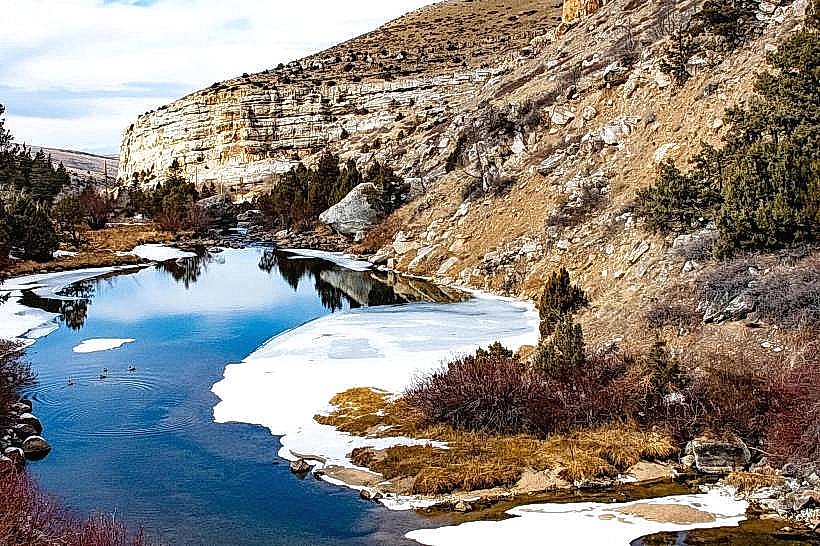
Sinks Canyon State Park is a geological and recreational area located in Fremont County, Wyoming, approximately 10 miles southwest of Lander.
Visual Characteristics
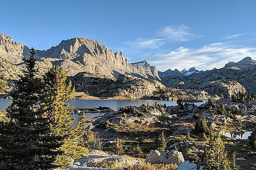
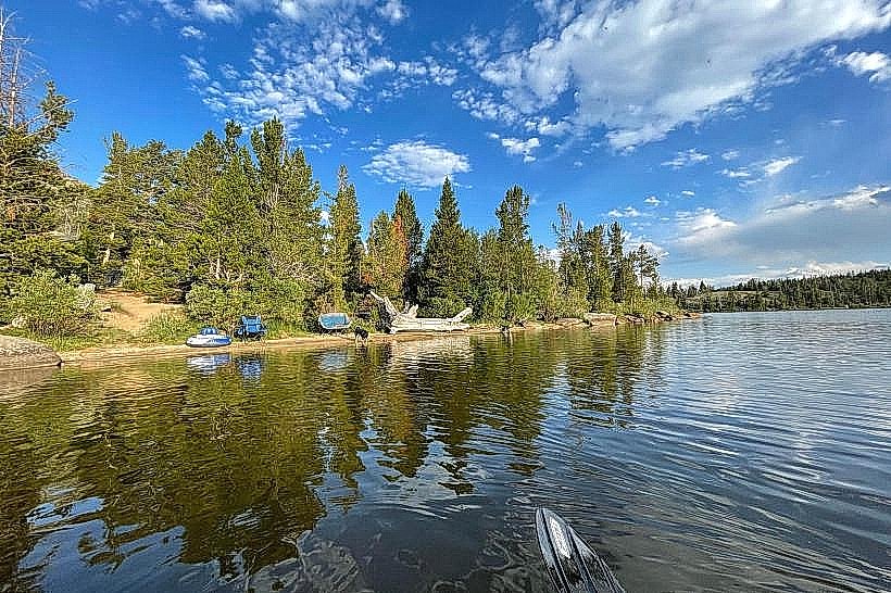
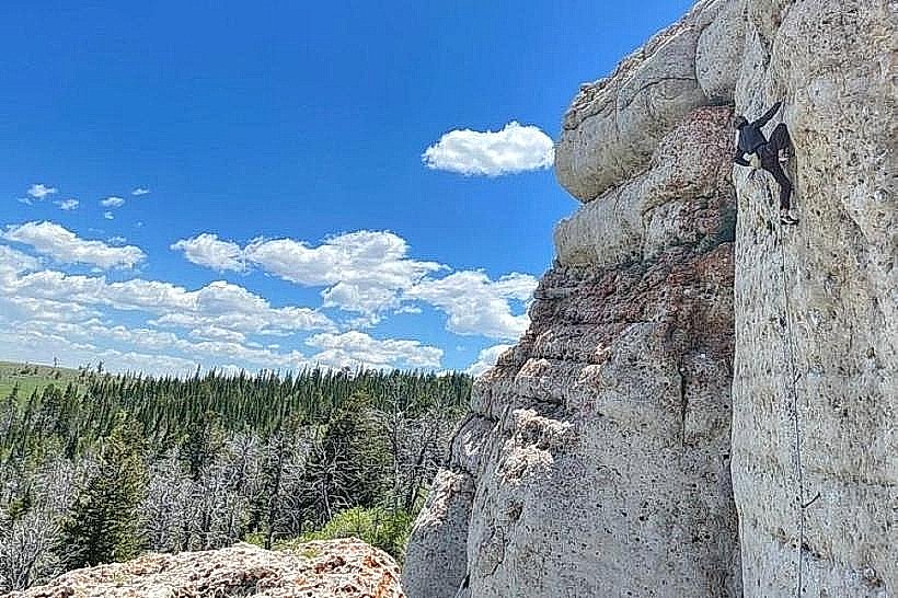
The park features a canyon carved by the Popo Agie River. The canyon walls are composed of sedimentary rock formations, primarily sandstone and limestone, exhibiting varied strata colors from tan to reddish-brown. The river itself is clear, with a rocky bed. Vegetation consists of coniferous forests, primarily pine and fir, with undergrowth of sagebrush and various grasses. The elevation ranges from approximately 7,000 feet to over 8,000 feet.
Location & Access Logistics
Access to Sinks Canyon State Park is via Wyoming Highway 131 (also known as Sinks Canyon Road) from Lander. The park entrance is approximately 10 miles from the Lander city center. Paved roads provide access throughout the main developed areas of the park. Parking is available at designated lots near trailheads and picnic areas. There are no public transport options directly serving the park.
Historical & Ecological Origin
The canyon's formation is a result of fluvial erosion over millions of years, with the Popo Agie River cutting through the sedimentary rock layers. The "sinks" phenomenon, where the river disappears underground, is a unique hydrological feature caused by porous limestone formations allowing the river to flow into subterranean channels before re-emerging downstream. The area is part of the Wind River Range's foothills ecosystem.
Key Highlights & Activities
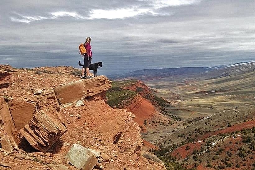
Activities include hiking on trails such as the Sink Trail (leading to the river's disappearance) and the Nature Trail. Fishing for trout is permitted in designated sections of the Popo Agie River. Rock climbing opportunities exist on the canyon walls. Wildlife viewing is common, with potential sightings of deer, elk, and various bird species. The "sinks" themselves are a primary point of interest.
Infrastructure & Amenities
Restrooms are available at the main visitor area and several trailheads. Picnic tables and fire rings are provided in designated day-use areas. Shade is available from trees in forested sections. Cell phone signal is intermittent and generally unreliable within the canyon.
Best Time to Visit
The best time for general visitation is from late spring through early fall (May to October) when weather conditions are most favorable and snow has receded from higher trails. Mid-morning to late afternoon offers good natural light for photography. The "sinks" phenomenon is most pronounced during periods of higher water flow, typically in late spring and early summer.
Facts & Legends
A notable geological feature is the "Rise," where the Popo Agie River re-emerges from its subterranean journey. Local lore sometimes attributes the river's disappearance and reappearance to underground spirits or mythical creatures, though the scientific explanation involves karst topography.
Nearby Landmarks
- Lander City Park (10km Northeast)
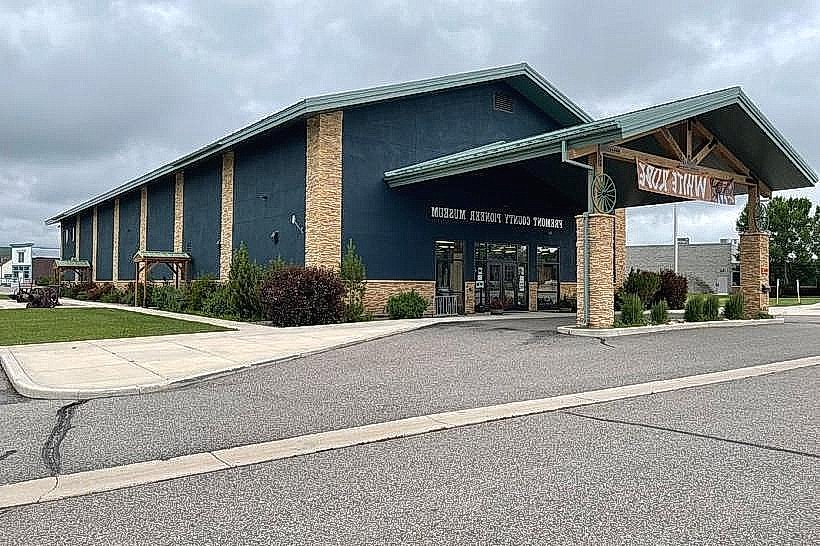
- Fremont County Pioneer Museum (10.5km Northeast)
- Louis Lake (15km West)
- Worthen Meadows Trailhead (18km West)